Tag Archives: imagery
Analyse and visualise imagery in ArcGIS Online
Picture this – 4,000 active satellites orbiting the earth, sensors whirring (I know that they’re not making a sound because space is a vacuum but I’m taking artistic license). Some of these capture high resolution imagery, which provide organisations with … Continue reading
Transform pixels into information using ArcGIS
Over the last 10 years or so, imagery has been more widely adopted as part of an organisation’s set of core datasets. This is due partly to the decreasing costs of sourcing the imagery and the increasing availability of imagery, … Continue reading
Continue ReadingMachine Learning made easy?
I know what you’re thinking….Machine Learning? Easy?… stay with me. Thanks to the Esri Analytics team, there are now pre-trained deep learning models available in the ArcGIS Living Atlas and the best part is, we can use these with no … Continue reading
Continue ReadingElevate your editing with the summer ArcGIS Online update
Two exciting new capabilities, another Instant App and a new content experience should be enough to get this ArcGIS Online update into the yellow jersey. As The Tour De France unfolds I can’t help myself but start by exploring French … Continue reading
Continue Reading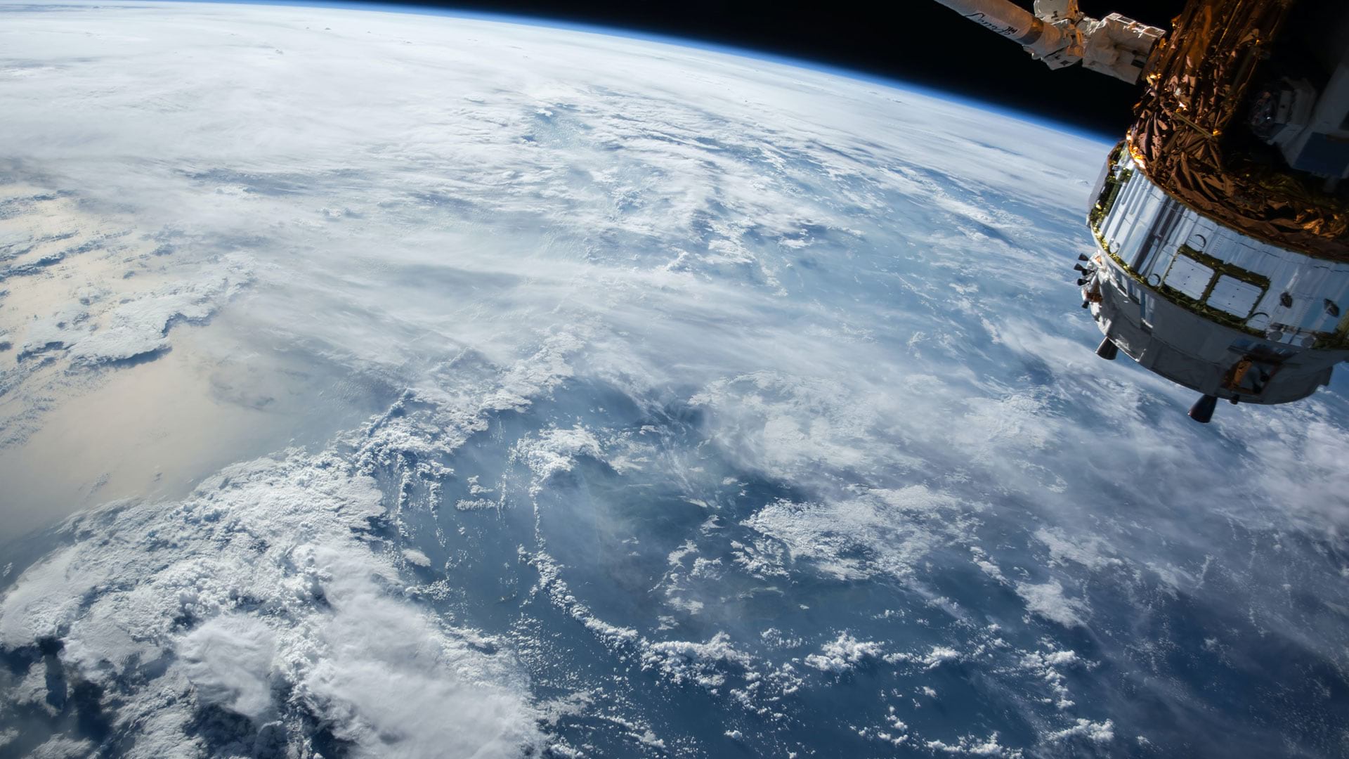
Think Tank: What Leading Businesses See in Remote Sensing
As business leaders seek safer ways of working during the COVID-19 pandemic, they turn to an innovative trio of technologies.
Continue ReadingMapping Emissions Data from the Sentinel 5P Satellite
The COVID-19 pandemic has lead to lockdowns across Europe changing how people live and work over the last few months. It has had a huge impact on society but one more positive story is that emissions around the world are being reduced, discussed in this BBC article. How do … Continue r
Continue ReadingAbout bushfires, satellites and oil rigs
Over-sized fire symbols, misleading colours and poorly selected projections have all been front and centre in the recent spread of bushfire maps. Following yet another deadly bushfire event, a wide variety of maps have been created to reflect the damage … Continue reading
Continue Reading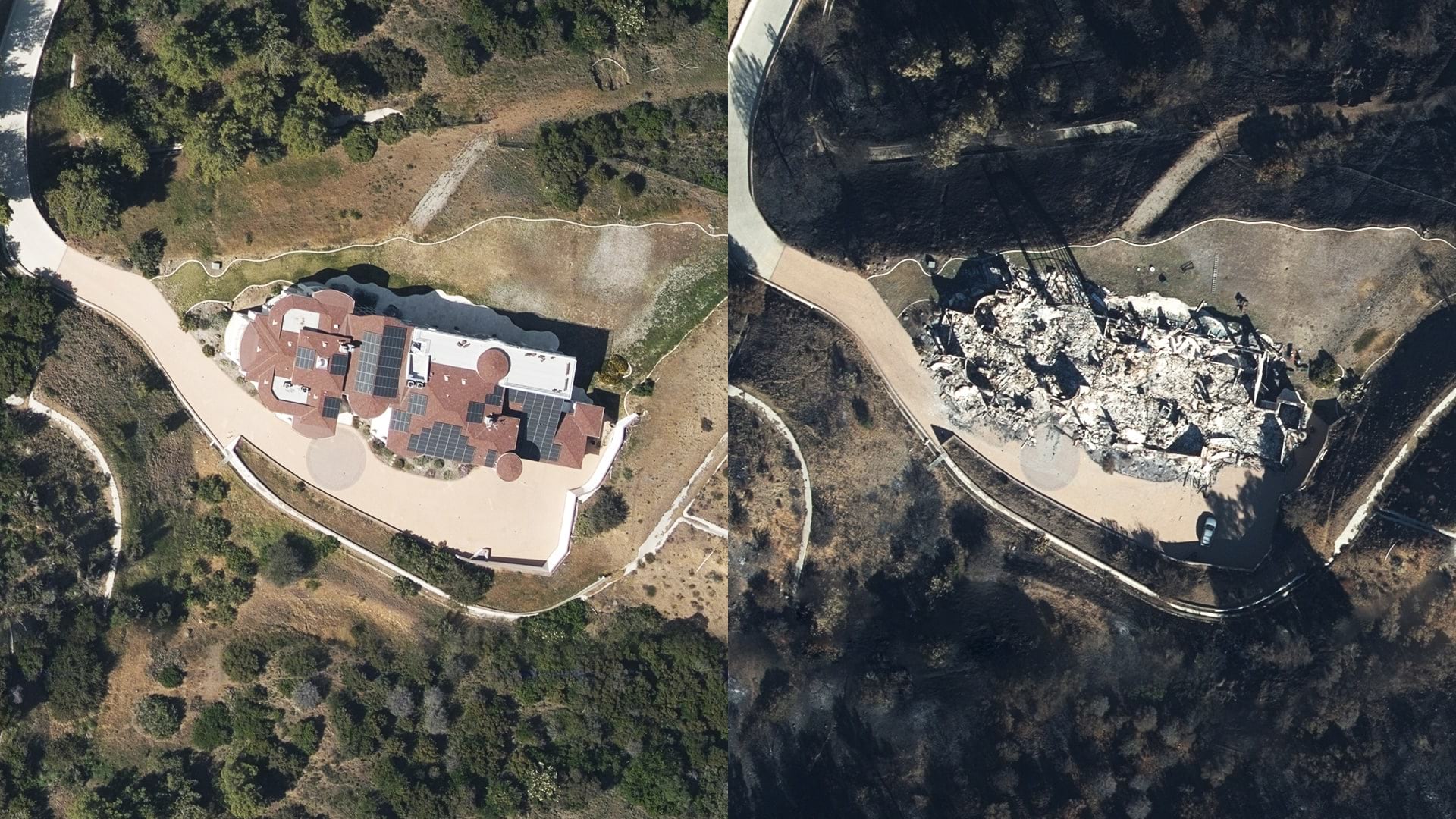
The Unseen: After a Disaster, Imagery Gives Insurance Companies a Clear Picture
New technology on the ground and in the sky is helping insurers see what they haven’t seen before and assist clients more quickly.
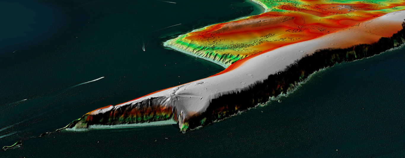
Continue ReadingMapping the Moon
In celebration of the 50th anniversary of the Apollo 11 mission, we've mapped the Moon in 3D. Interested in how we made it? Read on to find out how…
Continue ReadingExploring the World with ArcGIS Earth
Lace up your boots and brace yourselves for some walking holiday inspiration with the help of ArcGIS Earth. Come and discover all the different capabilities this free GIS viewer has to offer…
Continue Reading