ArcGIS Pro 2.0, Esri’s next generation of desktop GIS, was released on Tuesday night and it is now available from My Esri. This article will discuss some of the new highlights and features I found interesting from the latest update. ArcGIS Pro 2.0 includes helpful additions to ease workflows, provide better data visualisations and integrates with the platform more than previous GIS desktop releases.
Eased workflows and new innovations:
Your favourite workflows are now easier and more powerful in ArcGIS Pro 2.0. There are several unique innovations and improvements to workflows that cannot be found in any other ArcGIS desktop application. Some of the top workflows include:
Projects:
- If you are juggling many different projects, you can now open and run multiple instances of ArcGIS Pro at the same time.
- You can favourite folder, database, and server connections so that they will appear in all projects.
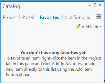 Favourites can be found in the Catalog pane which contains other highly requested context menu options for importing and exporting data.
Analytics:
- Many tools have been enhanced so that you can interactively draw new features to use as input. This is a new input mode, in addition to the previous modes of selecting an existing map layer or browsing to a dataset.
- The Export to CAD tool now supports the conversion of multipatch features into DWG and DGN 3D mesh entities.
- Live-time mode is now included on the time slider. Useful if you want to include a live data feed like real-time weather or vehicle positions.
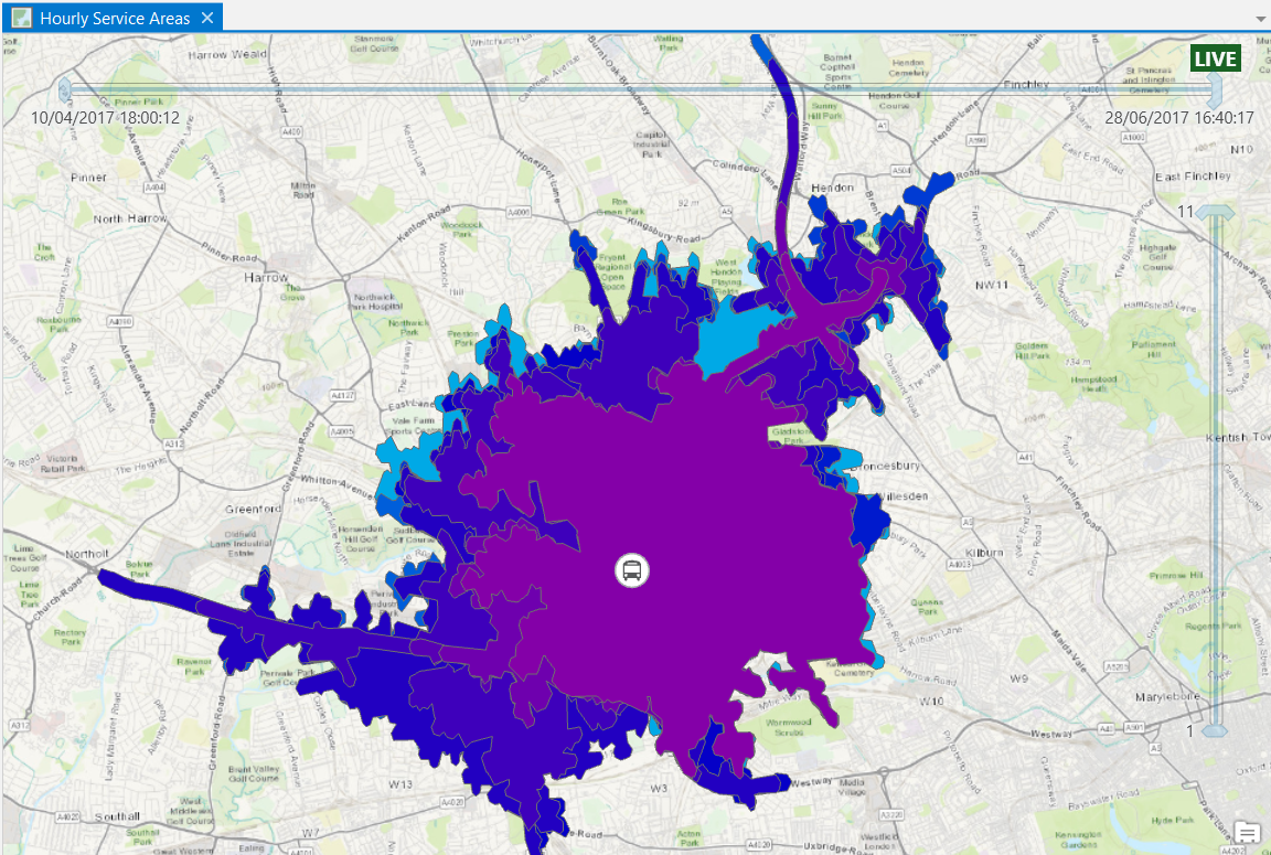 This case study uses hourly service times from a depot in London with the live-time mode enabled.
3D innovations:
- Easily explore your 3D landscapes with the new on-screen navigation control. There are two display modes that can be used:
- Precise control over the camera helps new users to 3D and improves navigation in GIS data that is difficult to manoeuvre through like navigating underground or when using Lidar data.
- The navigator also works on touch screens and other keyboard shortcuts for easy navigation around your maps.
 The navigator is shown in the bottom left corner.
Better visualisations:
Visualisation has been enhanced in the new ArcGIS Pro 2.0 release to help you to create the most effective maps.
- Annotations and grids, some of the highly sought after features, have been included to create more effective and meaningful maps.
- Map notes can be added to 3D scenes.
- 3D drawings now include feature drawing by camera distance and enhancing lighting of 3D objects.
- Animations can now be exported to an animated GIF. (Find out further enhancements to animations by watching these new animation how-to videos).
- Layouts are more useful and powerful than ever with the ability to embed dynamic and interactive charts.
 Embedded charts in layout view.
ArcGIS Platform integration:
ArcGIS Pro 2.0 works better with the rest of the ArcGIS platform, including ArcGIS Online, ArcGIS Enterprise, and Esri’s vast library of ready-to-use apps. Your cross-platform workflows are now easier and more powerful than ever.
- If you have a busy schedule, you can now continue to work in ArcGIS Pro while packaging operations complete in the background.
- Due to the improved integration at ArcGIS Pro 2.0, you can now create and manage mobile styles for maps that will be shared in mobile applications.
- You can now consume native OGC Web Feature Service (WFS) Services directly in ArcGIS Pro.
- Enjoy Syncing with feature layers that reference data registered in Portal for ArcGIS 10.5.1.
- Vertical coordinate systems are included when sharing web scenes and web scene layers.
A complete list of all the changes can be found in the ArcGIS Pro help pages.