If you use ArcGIS Online basemaps with your GIS layers, and you have data outside a major urban area, you’ve probably seen this sight before:
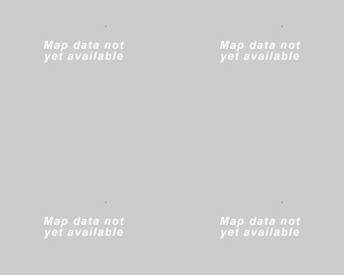
ArcGIS Online displays the above image at large scales (around 1:1000) if your chosen basemap doesn’t have extremely detailed data for your geographic region. Major cities like London usually have imagery and street-maps that go all the way down to the maximum scale, but remote areas in places like the Scottish Highlands may have gaps where data is missing.
For those of you who have encountered this problem, we’re happy to announce that the AGOL basemap servers were upgraded a few weeks ago. This upgrade allows the server to prompt any compatible ArcGIS client to “resample” data from the closest available scale when data is missing, as shown below:

This resampling process works like a digital zoom on a camera. There isn’t actually any extra detail, but the basemap will remain available at any scale. Hopefully this will help some of you with your GIS workflows.
What do we mean by a compatible client? The ArcGIS.com Map Viewer, the mobile apps (like Collector for ArcGIS) and ArcGIS for Desktop are all compatible. The Flex Viewer and Silverlight Viewer will not be receiving this resampling functionality, nor will custom apps written in these two web APIs. Custom apps using the JavaScript API (version 3.6 or above) are supported.
The basemaps which support resampling are the World Street Map, World Topographic Map, and World Imagery Map.