The Office for National Statistics (ONS) have uploaded some great datasets to their ArcGIS Open Data Portal and The Living Atlas. You can explore their layers in the Living Atlas here. In the ONS Open Data Portal they’ve used a range of great customised features and I wanted to share my top three.
ArcGIS Open Data Portal provides Out of The Box widgets for you to configure your site, but like the ONS you can do further customisations using HTML and CSS.
3) Custom cards
The Category widget is a great way to link to data with similar overarching themes. If you want to take this a step further, then go to this great website with examples of code you can copy and paste into text boxes to create your custom cards.
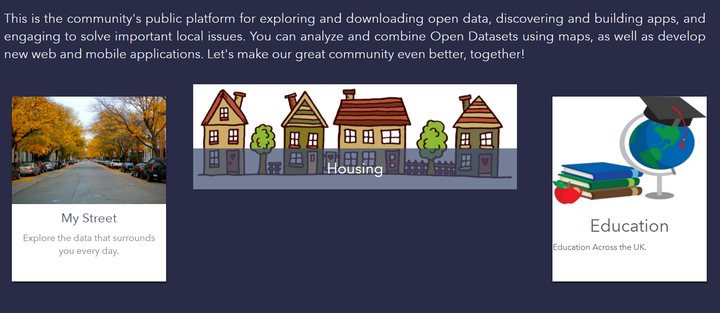
Example of some custom cards you can create
2) Tables
Tables allow you to summarise important Data. The ONS have used tables to highlight their latest releases and their release calendar (see below). You can use straight HTML tables or bootstrap tables (code is available here for both versions.
1) Twitter Feeds
My top customisation featured on the ONS Open Data Portal is their Twitter feed. You can add this customisation by following the three steps below:
- Take the Twitter widget and add it to a HTML page.
- Add the HTML page to a web server like Internet Information Servers (IIS).
- Add this link into the iFrame widget in your Open Data site.
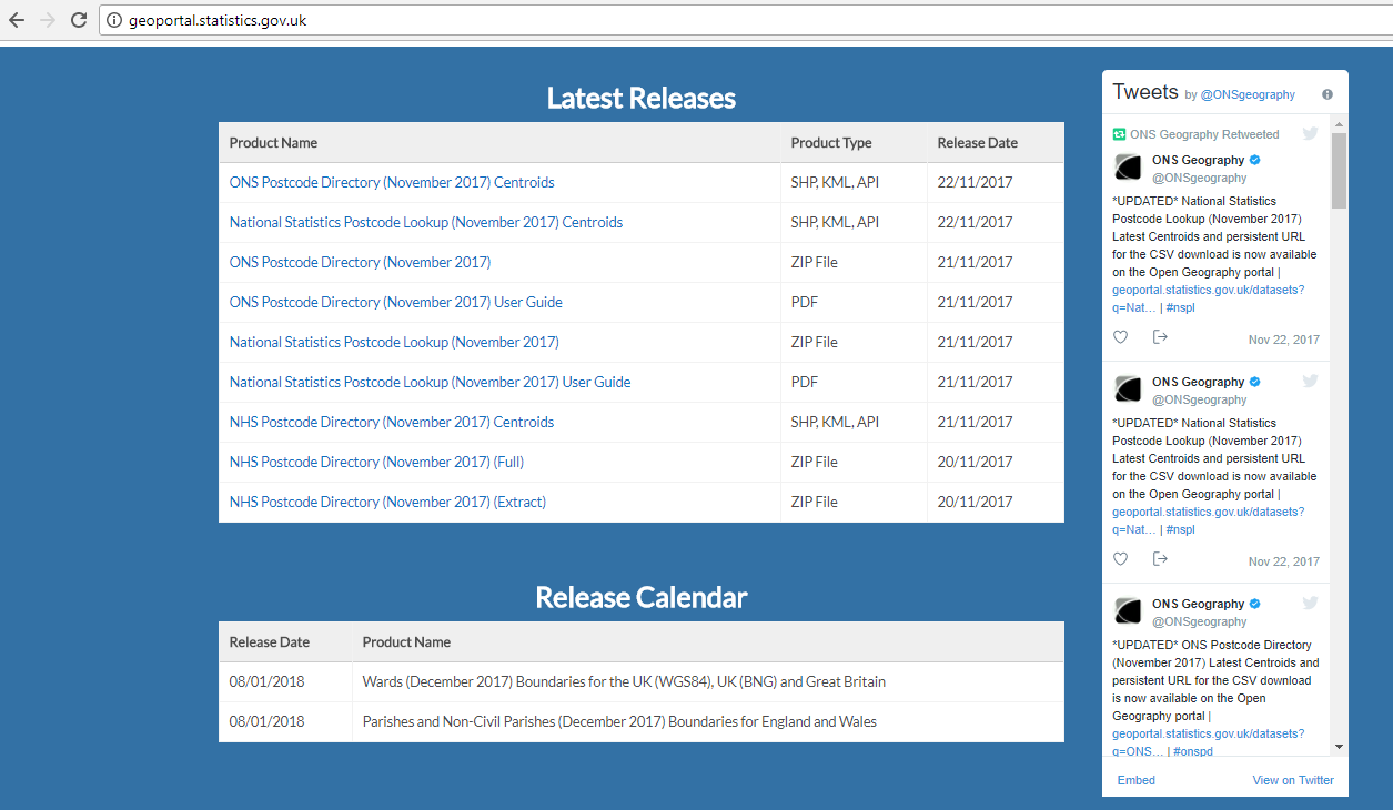
ONS Open Data site use of tables to hold important information and their Twitter feed
There are plenty of other customisations possible with your ArcGIS Open Data site. If you want to discover more information on the benefits of ArcGIS Open Data and how organisations are using it then please explore this story map here.