With New Year Resolutions firmly locked in and 2018 very much in our sights, what better time to take a look back at some of fantastic content you might have missed. There have been lots of great contributions to The Living Atlas catalogue, so I want to highlight a few of the best datasets that may have slipped through your net. Here they are and in no particular order… *queue top of the pops music*
NUTS Level 1-3 (January 2018) Boundaries // ONS
This data contains the very latest digital vector boundaries for Nomenclature of Territorial Units within the UK. A great addition to the Living Atlas for UK boundaries, that has now been formally adopted in statistical use (from January 2018). Available in a variety of scales and resolutions : click to access Level 1, Level 2 or Level 3.
Canals (113,714 views) // Canals and River Trust
The full extent of the UK Canal waterway at your finger tips, as a single layer! You can now conduct some excellent analysis for the local waterways or plan a lovely Sunday morning walk along the Canal footpaths. Click here to access
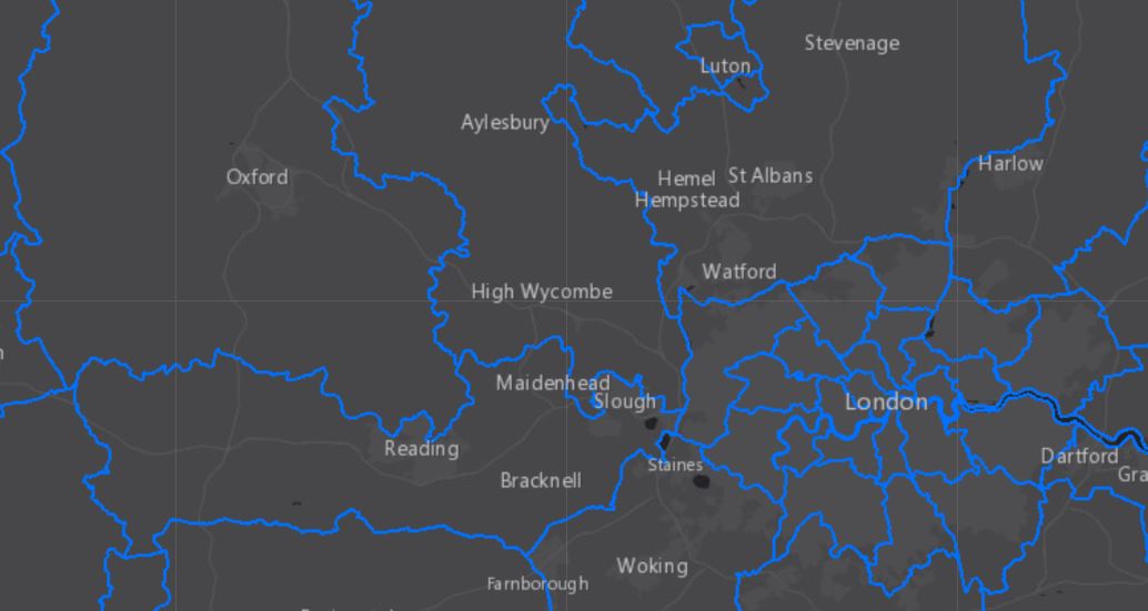
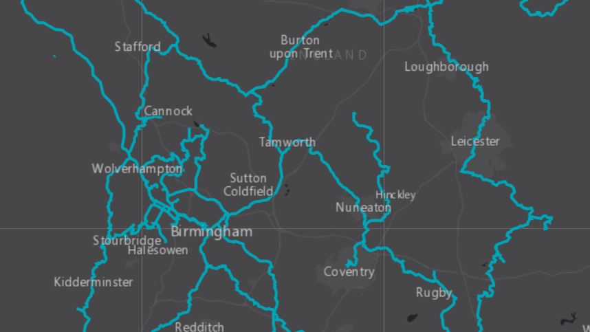
OS Open Rivers (10,440 views) // OS
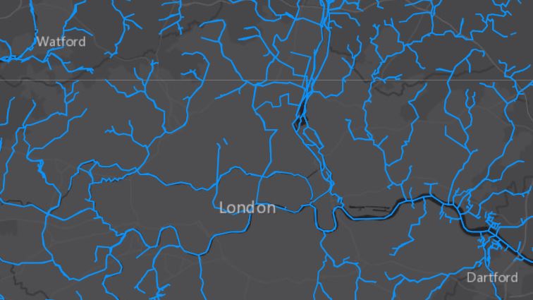
Building on the Canals dataset – if you were after a broader layer that includes all waterways in the UK, then OS have got you covered. This allows you to explore the full network of the UK’s rivers, streams and lakes, with the most up to date information (updated December 2017). Click here to access
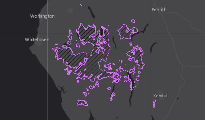
National Parks – England (4,356 views) // Natural England
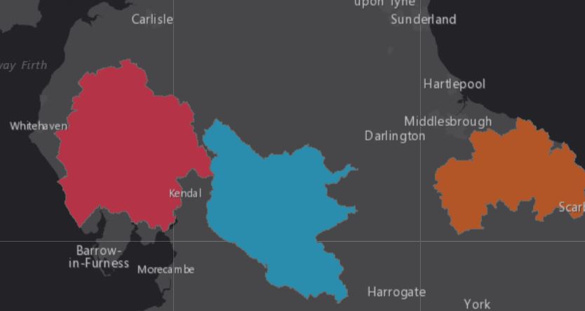
A great contribution to The Living Atlas that allows you to access National Park boundaries and dive deeper into the analysis of each area. An ideal set of data to have at your disposal. Click here to access
National Trust Open Data: Land – Always Open (17,320 views) // National Trust
A handy dataset that outlines the boundaries for every bit of National Trust Land accessible by foot. If you’re planning a dog walk or want to study the protected (but accessible) areas, this is a great resource. Click here to access
Crossrail Route and Stations // Crossrail
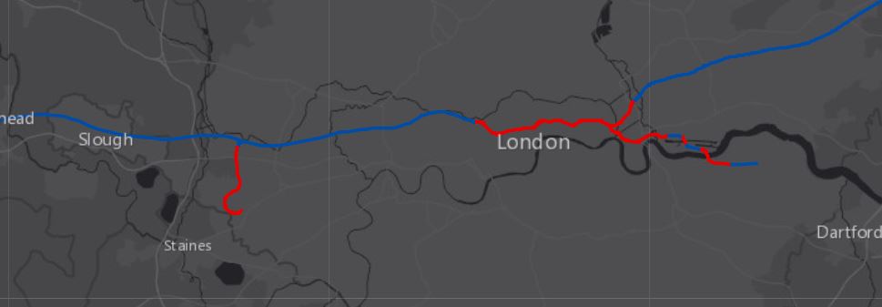
The Crossrail Project is nearing completion and the Elizabeth Line opens this year, so this data is fantastic for anybody looking to explore the project further. Included in this is both the stations and Crossrail Route, essential contributions to the Living Atlas. Click to access Route and Stations
It’s fantastic to see so many useful datasets, from individual users and larger organisations, being made accessible through The Living Atlas. If you’ve never explored the catalogue go and check it out. Maybe you could even contribute with your great data!
![]()