Many organisations use ArcGIS to share and work with Open Data. Creating an Open Data site using ArcGIS Hub is a great way to liberate your data so you can meet mandated transparency requirements and enable greater insights. ArcGIS Hub makes it easy to embrace the Open Data Community as all vector data-sets are automatically available for download as CSV, KML, and Shapefiles and accessible via GeoJSON and GeoService APIs.
Thinking about creating your own Open Data site yet? To give you inspiration to create your own, I wanted to share some recent sites created using ArcGIS Hub that have caught my eye.
United Nations: Sustainable Development Goals
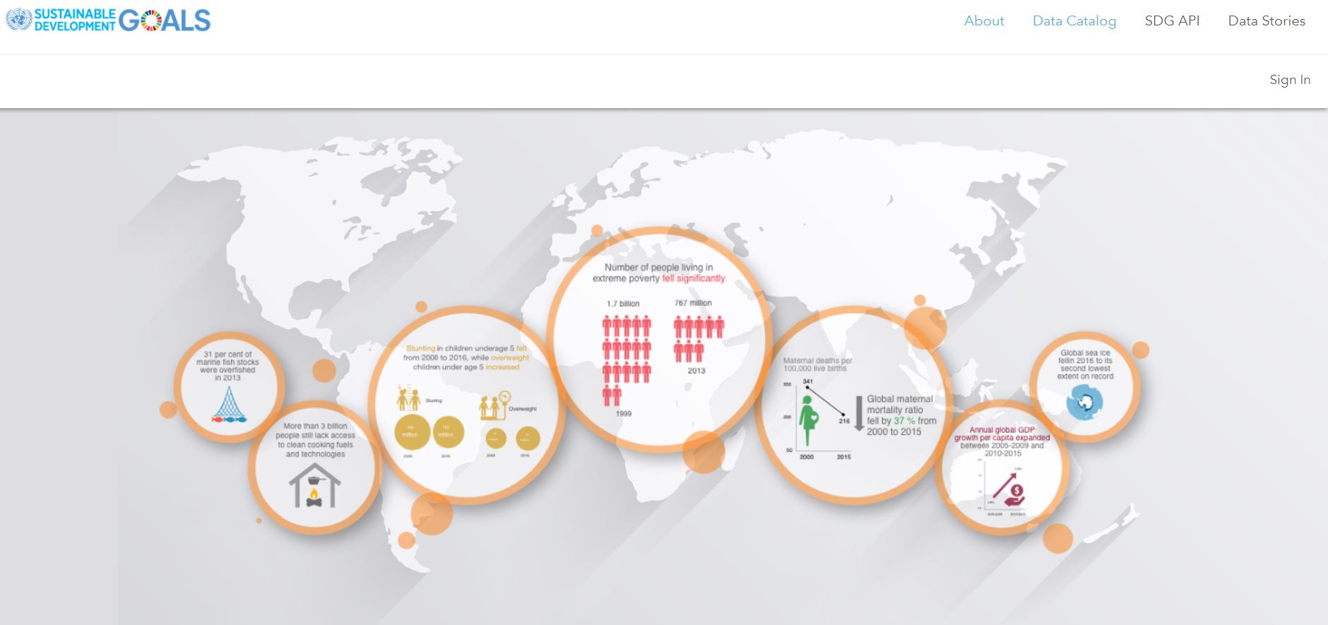
The United Nations have created an ArcGIS Hub Open Data site to fully implement and monitor process on the Sustainable Development Goals. The SDG Open Data site promotes the exploration, analysis, and use of authoritative SDG data sources for evidence-based decision-making and advocacy.
Canal & River Trust
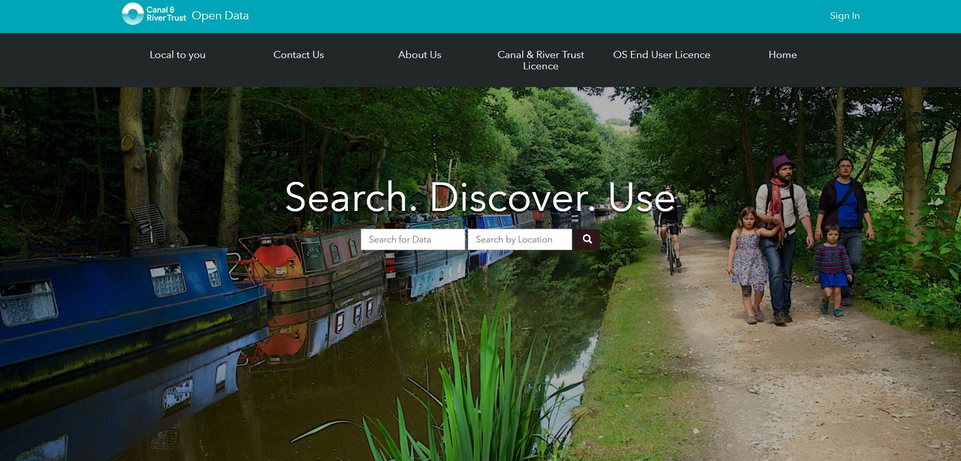
Canal & River Trust are a charity who maintain 2,000 miles of waterways in England and Wales. On top of maintaining these waterways, C&RT maintain spatial data of aqueducts, bridges, docks, reservoirs, locks and much more! Search all of these data sets by visiting their Open Data site or the ArcGIS Living Atlas.
Ministry of Housing, Communities and Local Government
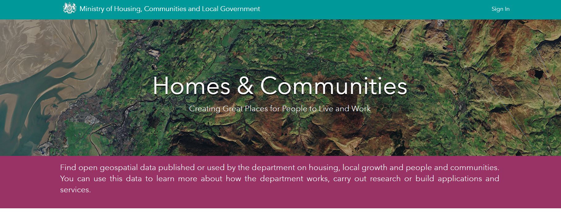
The Ministry of Housing, Communities and Local Government aim to help create great places to live and work across the country and to build communities to thrive together. They used ArcGIS Hub to create an Open Data site to share their own, and other spatial data they use to make decisions, on housing, local growth, people and communities. They have recently contributed over 20 data layers to the Living Atlas, meaning it is available to use across the ArcGIS Platform.
Oil and Gas Authority
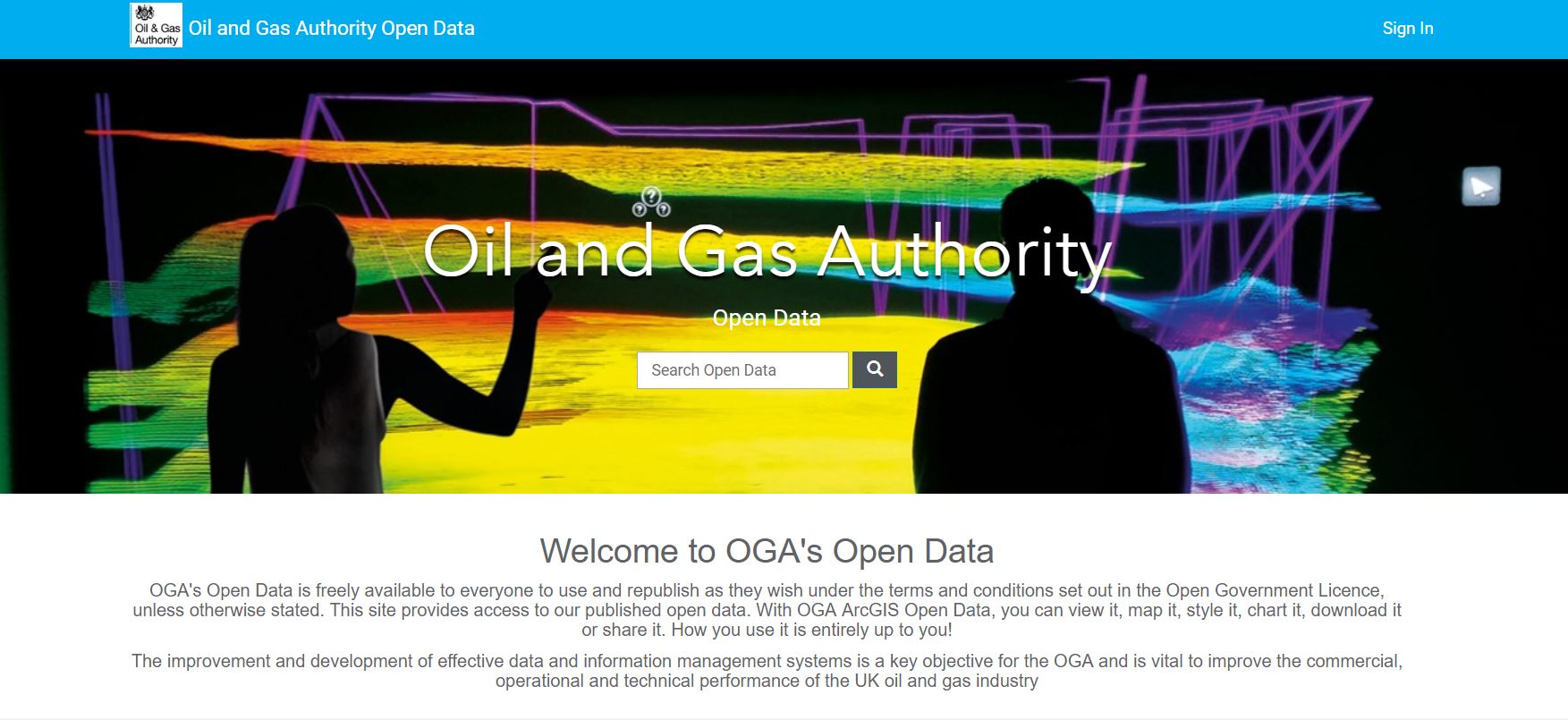
The Oil and Gas Authority work with the industry and government to maximise the economic recovery of UK oil and gas. To help the OGA improve their data management system and share data, they’ve created an ArcGIS Hub Open Data site.
Natural England
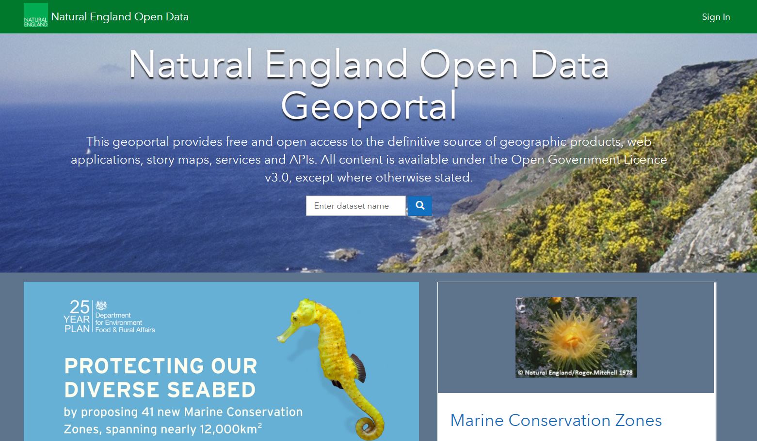
Natural England are the government’s adviser for the natural environment in England. They help to protect England’s nature and landscapes for people to enjoy. They’ve created an Open Data site, using ArcGIS Hub, to provide access to their spatial data, which is also fully accessible through the Living Atlas too.
Finally, we launched RNLI’s Open Data site at our Annual Conference this year. Check out my blog post that talks through their contribution to Open Data and The ArcGIS Living Atlas.
![]()