Open Data and the ArcGIS Living Atlas of the World were hot topics at our Esri UK conference last month. We showcased the power of using The Royal National Lifeboat Institution’s Open Data and The Living Atlas to perform real-world analysis in our opening plenary.
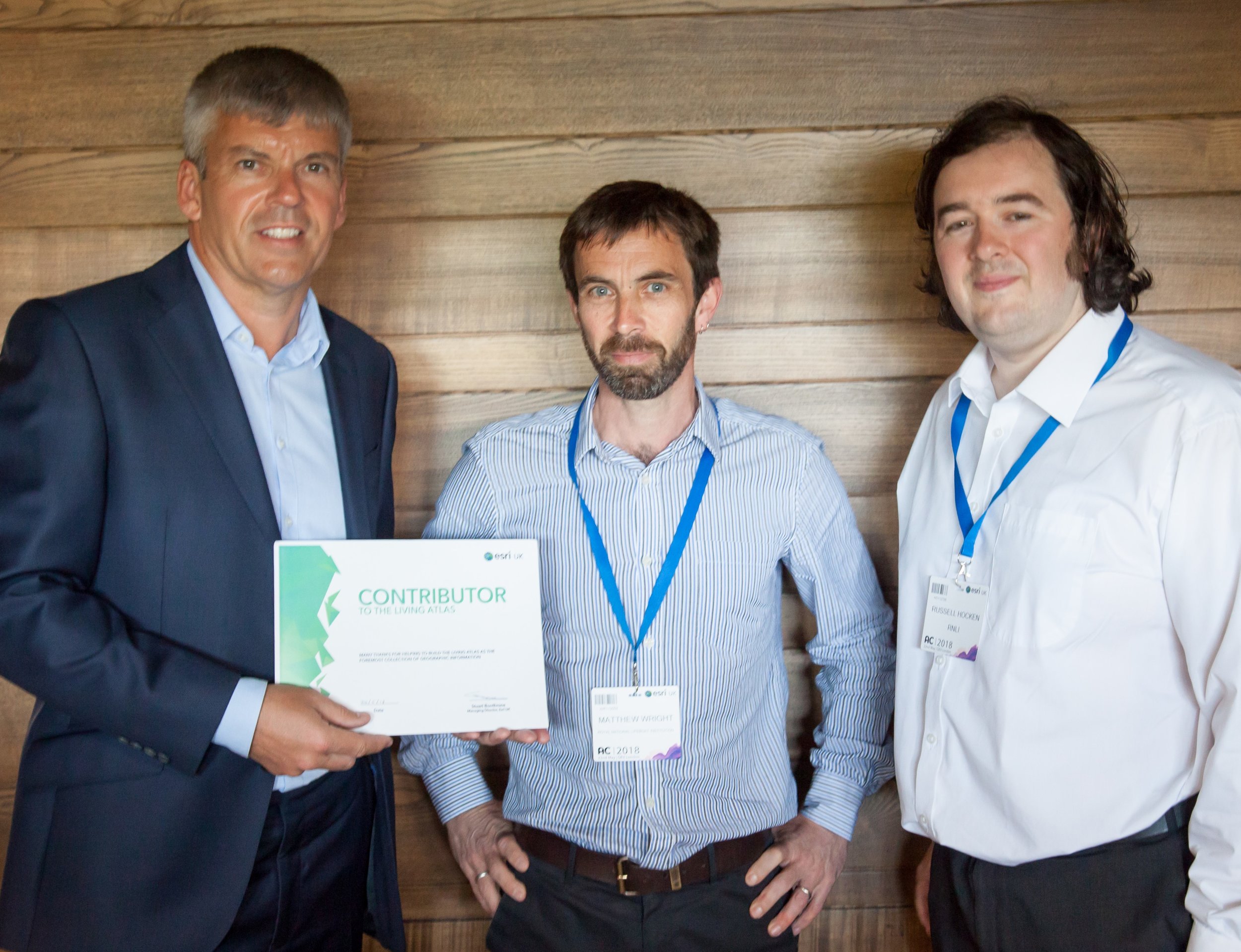 Left to right: Tim Welch, General Manager at Esri UK, thanking Matthew Wright, Russell Hocken and Lee Muttock (not pictured), from RNLI, for their help with the conference
The Royal National Lifeboat Institution (RNLI) provides a 24-hour service in the UK and Ireland and have saved over 142,200 lives since 1824.
The RNLI uses ArcGIS to analyse risk which enables them to save more lives through innovation, data analysis, and new technology. The next step to share knowledge is to make their data public, which is why the RNLI have released Open Data.
If you missed the big reveal at our conference, this blog will tell you how to access these data sets through the Living Atlas and the RNLI’s Open Data site.
Living Atlas
The RNLI contributed 6 data sets into the Living Atlas – take a look and see how you can use these data sets!
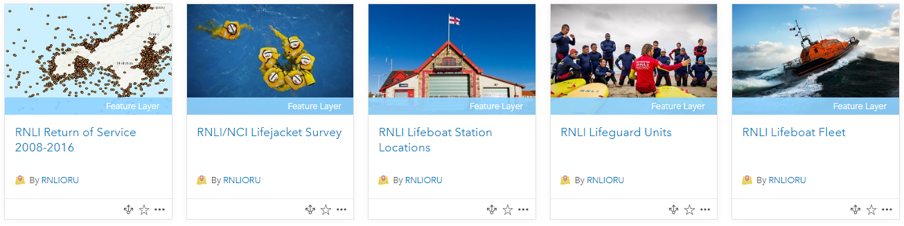
- RNLI Return of Service – point data set collected from lifeboat call outs from 2008 – 2016.
- RNLI / NCI Lifejacket Survey – results and survey locations of the annual lifejacket wear survey 2013 to 2016.
- RNLI Lifeboat Station Locations – 238 RNLI lifeboat stations across the UK.
- RNLI Lifeguard Units – 249 RNLI lifeguard unit locations across the UK.
- RNLI Lifeboat Fleet – point data of the RNLI’s lifeboat fleet across the UK and Ireland.
- RNLI Support Centres – point data locations of the RNLI’s Support Centres across the UK.
Open Data Site
We also launched the official RNLI Open Data Site at our conference! Here you can find all of the data sets that are available in the Living Atlas and RNLI built apps that harness the power of GIS to visualise their data. Check it out to see the RNLI’s current initiatives for making you safe at the coast .
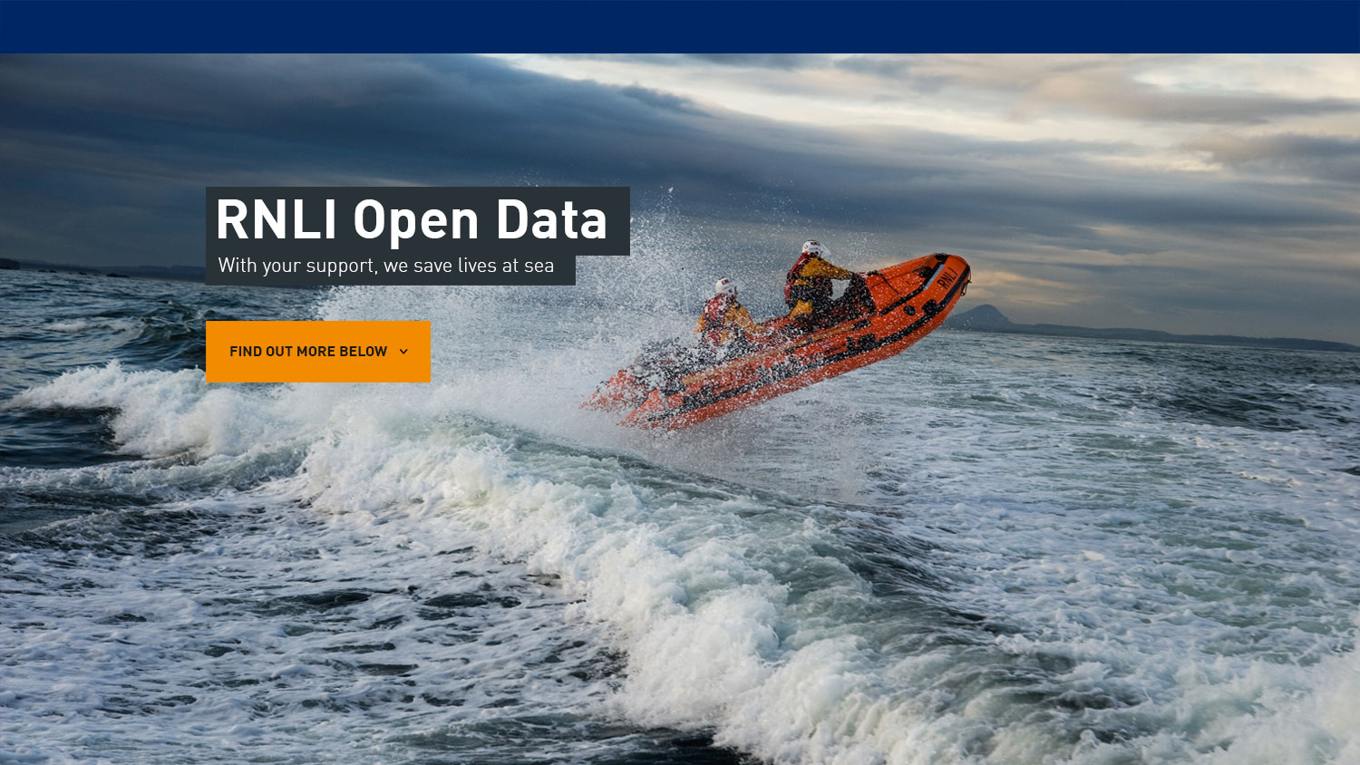 RNLI’s open data home page
![]()