Traditionally, a static map would contain a legend, north arrow, scale bar and a title. Sometimes static maps have a custom design that links to the map being shown and ArcGIS Pro layout has the broad functionality to help you create visuals that tell a story.
I was recently tasked with presenting some of England’s most complex junctions. So I started brainstorming ideas to present this data in an original, yet engaging way. I got thinking about the UK road network, which inspired me to design the poster to imitate a UK road sign. I’ll admit, it might be cheesy, but anyone would instantly recognise what this poster is imitating:
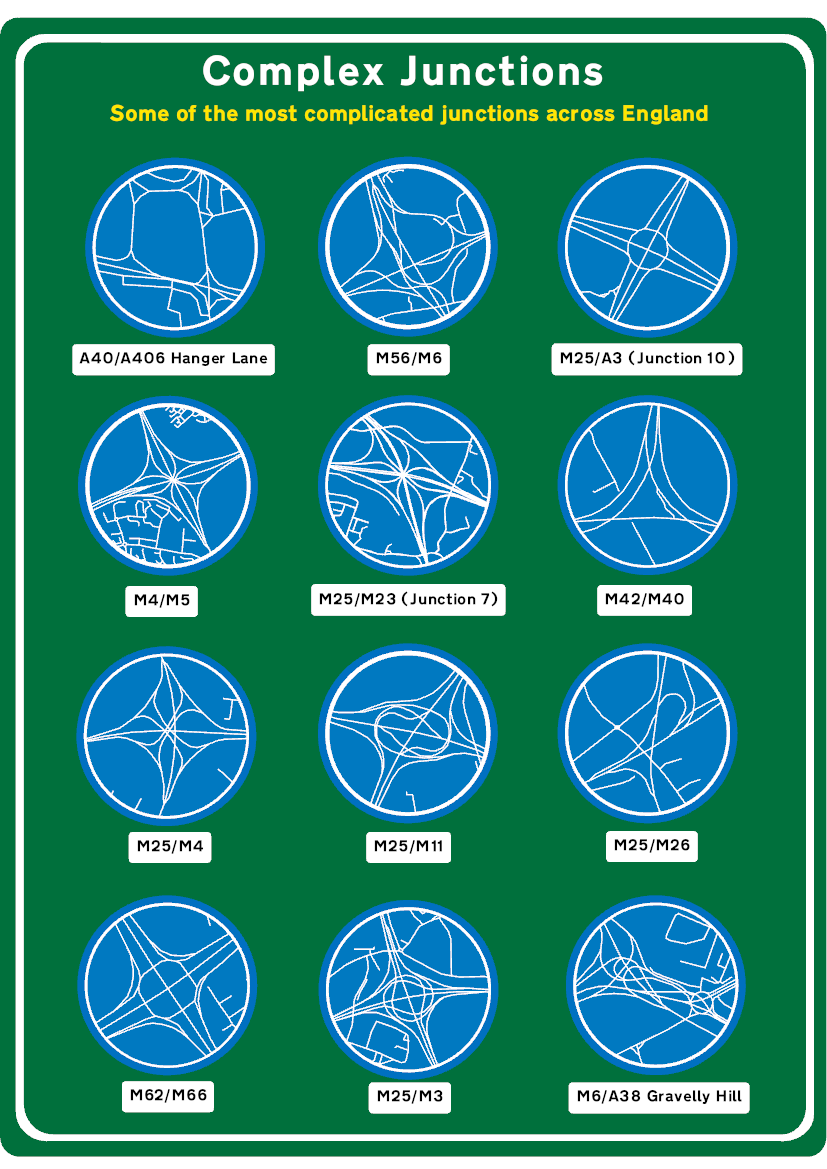
The best thing is that I did this only using ArcGIS Pro’s layout functionality.
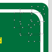
Shapes used in creating corners.
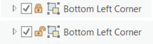
Locking icons in the Pro Layout.
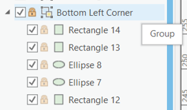
Shapes within one group in ArcGIS Pro layout.
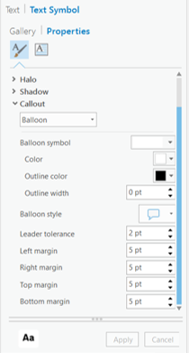
The Callout option in the Text Properties.
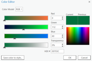
The many ways edit colours in the Color Editor!