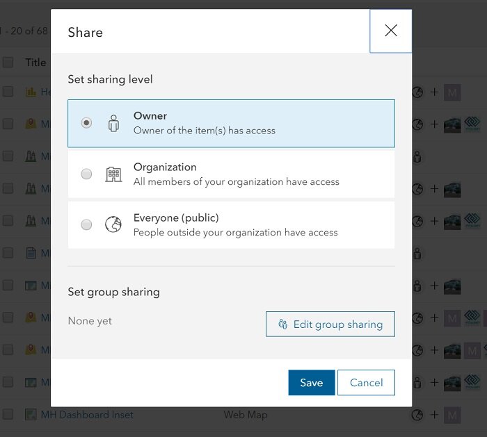
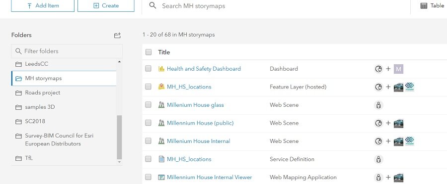
The display of sharing status in the contents page has also been enhanced. It uses the group icons to make it really easy to see what groups an item has been shared with. Another reason to set a useful icon in your groups.
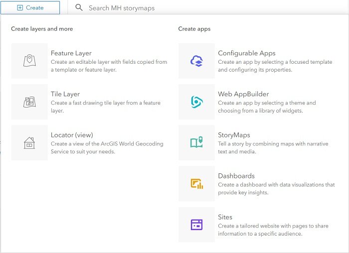
The Create Items dialog has also been improved, making it a more direct and visual experience:
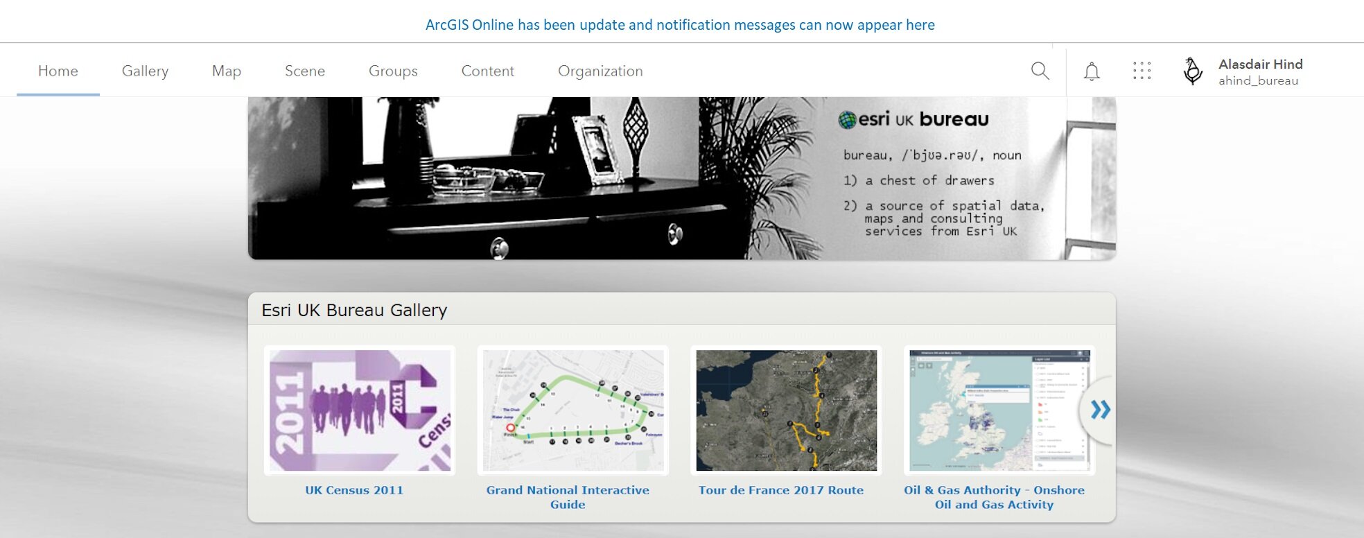
One of the administrative gaps has now been plugged with the arrival of organisation notifications. You now have a way to inform users about important new content, changes to information access or that content is being retired. Or you can just remind them to fill in the content details and access information. There are two styles of notification – an access notification that must be accepted on login, or an information banner that sits across the top of the page.
The organisation settings tab now has a search box so no more rummaging for the setting you last used two months ago. Also, your changes are now saved automatically so you won’t forget to save the change you just made.
The management of data for offline use has been improved and you can now schedule updates of your offline web map packages. You can also now package maps that that include ArcGIS Server Image Services.
Assigning credits and adding members to groups can now be done in bulk from the Members tab of the Organization page.
Do you have Locator Views set up for your organisation? There are a couple of new options allowing you to return primary street names, even when alternate names are submitted, and return either locally known city names or matched city names.
Check out the what’s new page for a full list, including improvements to several of the Web AppBuilder widgets.