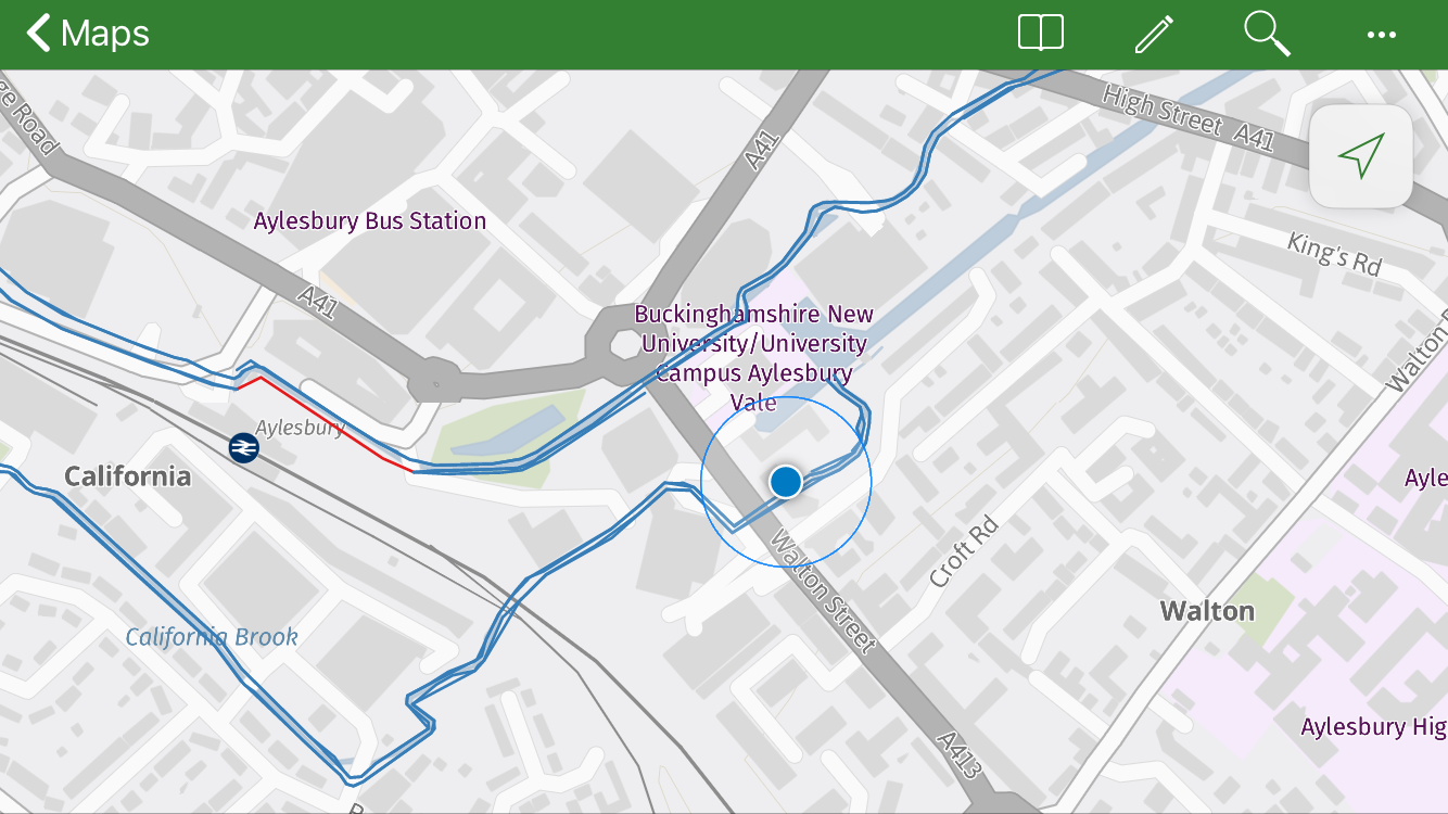
We are increasingly used to being able to access information on smartphones and tablets whenever and wherever we need it. Explorer for ArcGIS is designed to support this trend by enabling you to view your ArcGIS web maps and data on mobile devices.

The app gives you the ability to explore your organisation’s data whether you’re in the office or the field, regardless of if you have a data connection. What’s more, Explorer for ArcGIS integrates seamlessly with other apps on ArcGIS including Collector and Survey123, enabling on demand access to your collected data. Recent software updates also mean that the app is now available to download for iOS and Android - from Apple, Google and Amazon stores.
Update: Explorer for ArcGIS is now available for Windows via the Microsoft Store.
Here are some of the features that I believe make Explorer for ArcGIS an extremely valuable tool for accessing maps on the go.
Find and view features
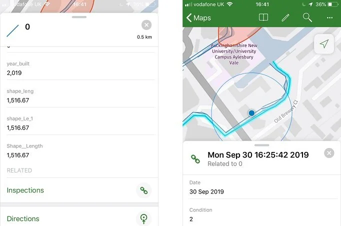
Explorer for ArcGIS supports feature search, allowing users to find the locations of specific features within a map; when setting up an Explorer map you can configure either a locator or a locate provider in ArcGIS Pro (see here for more details). In addition to displaying feature attributes, the app allows related records, such as repeat surveys conducted on assets, to be viewed; as well as attachments and photos that are associated with features. All this enables users to gain an improved understanding of their data whilst on the go.

View feature attributes, attachments and related features.
Markup tool
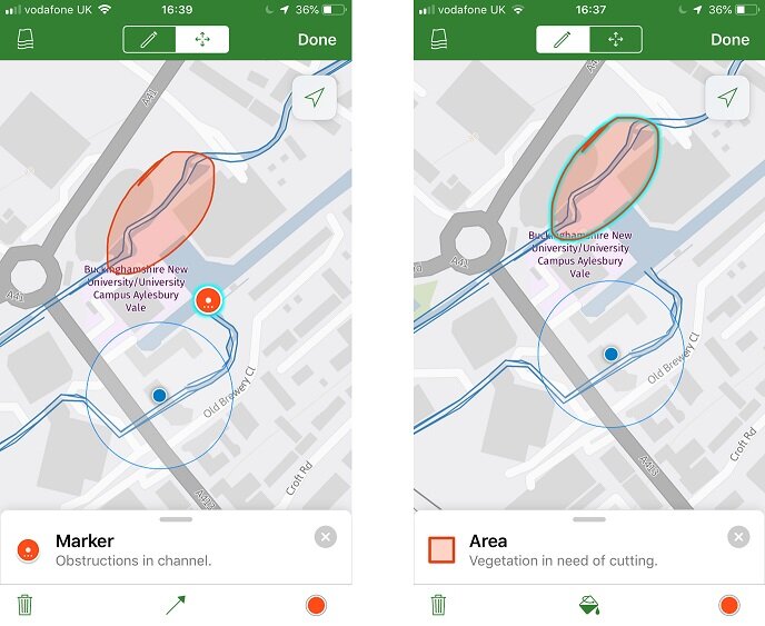
The Markup tool is designed to give users similar annotation capabilities to using a paper map and a pen. Field observations can be recorded through taking notes and creating drawings, including points and shapes (more details are available here). These annotations can then be shared, both as a layer that can be viewed by others using the Explorer app or as an image. Another option, with a Level 2 login, is to share markup as an item in your organisation’s portal - allowing you or a colleague to add the annotations to web maps or view them in ArcGIS Pro.

Add mark-up to a map and share it with colleagues.
Explore maps offline
Explorer for ArcGIS allows you to access your maps even when there’s no internet connection. This can be done by creating mobile map packages with ArcGIS Pro and then downloading these to your mobile device (see here for more details). By preparing and downloading content before heading out into the field, your maps are available whenever and wherever you need them.
Finding features in the field
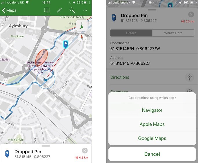
For features that are difficult to find in the field, there are a couple of ways Explorer can help. By highlighting a feature or marked point and selecting the Compass, Explorer will show you both the direction and distance you need to traverse to find it. Alternatively, you can be directed to a point using either Navigator for ArcGIS, Google Maps or Apple Maps.

The left image shows finding a location with the compass tool- the distance and direction are shown by the red dotted line and text. The right-hand image shows the directions options.
So how has Explorer for ArcGIS been put to use? If you want to see some examples, there are several case studies available on the Esri UK website. These include Thames Water, who use the app to view past inspection data when visiting establishments as part of their efforts to prevent drain blockages resulting from fat, oil and grease disposal, whilst the University of Cambridge use Explorer so that their 3D digital estate map can be accessed away from the office.
Interested? You can try Explorer for ArcGIS without logging into an ArcGIS account, so why not download it from the App Store today and check it out for yourself. Or, head here for more information and step-by-step guides to help configure the app to fit your requirements.