In April we launched the beta version of our GB Vector Basemaps…
…after some great feedback and a lot more work the live versions of these basemaps were released ready for you to use.
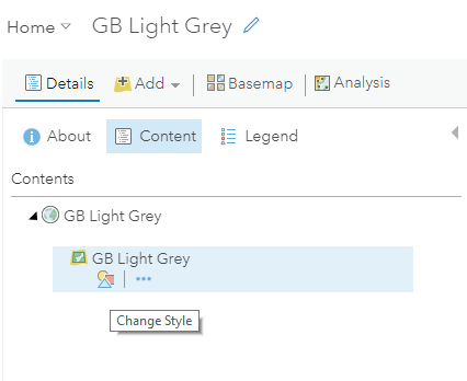
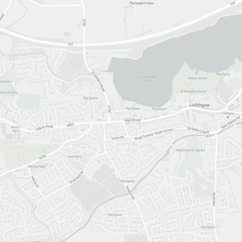
Along with a few changes to the data structure, to make it easier to use and style, we have also launched another style called GB Light Grey. This provides a light neutral background style with minimal colours, labels and features, that is designed to draw attention to your thematic content.
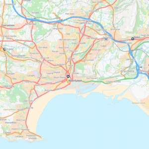
GB Background - similar to the OS Open Background Raster Tile basemap.
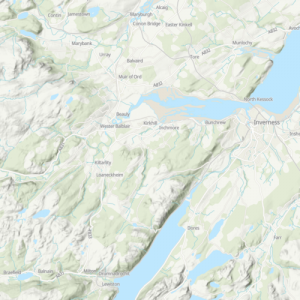
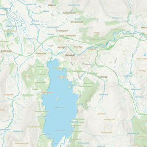
GB Topographic - the classic Esri topographic map style (including a hillshade service based on OS Terrain 50 data).
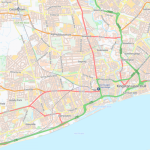
GB Cartographic - similar in style to the OS Open Carto Raster Tile basemap.
GB Base OS Outdoors Style - based on the style provided by the Ordnance Survey in their stylesheets on Github for the OS Zoomstack data.
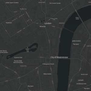
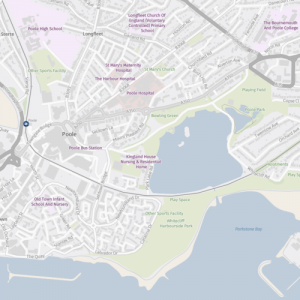
GB Dark Grey - this basemap is similar in style to the Esri Dark Grey Canvas style.
GB Cartographic Local - similar in style to the OS Open Carto Raster Tile basemap, but with the labels for places in Welsh, Scottish Gaelic or local English names.