ArcGIS Online is being used across the world by organisations in their work to tackle the COVID-19 pandemic. As part of a global programme Esri are providing access to ArcGIS Hub Foundation, built on ArcGIS Online, to support this. Meanwhile others are using ArcGIS Online to maintain their working practices as we find our way through the lock down. To support all users, Esri are continuing to develop ArcGIS Online and last night the system March update went ahead.
The update marks the arrival of ArcGIS Experience Builder into ArcGIS Online and brings the beta version of ArcGIS Notebooks. These are the beginning of a shift in what we can do with ArcGIS Online and how we can share our content with others.
Experience Builder
ArcGIS Experience Builder is a new way to create unique web experiences – using flexible layouts, content, and widgets – that interact with 2D and 3D data. It can now be launched directly from ArcGIS Online – via the waffle or the Create button. So why would you need to create an experience?
Have you ever been using Web AppBuilder and found yourself wanting to mash it up with an Ops Dashboard? Or you’ve embedded your apps in a story map to link them and provide extra information? Experience Builder gives you the flexibility to combine maps and widgets in the way you choose. If one page isn’t enough you can add extra pages or use a scrolling page. It gives us so much flexibility and still all through a config interface – no coding required.
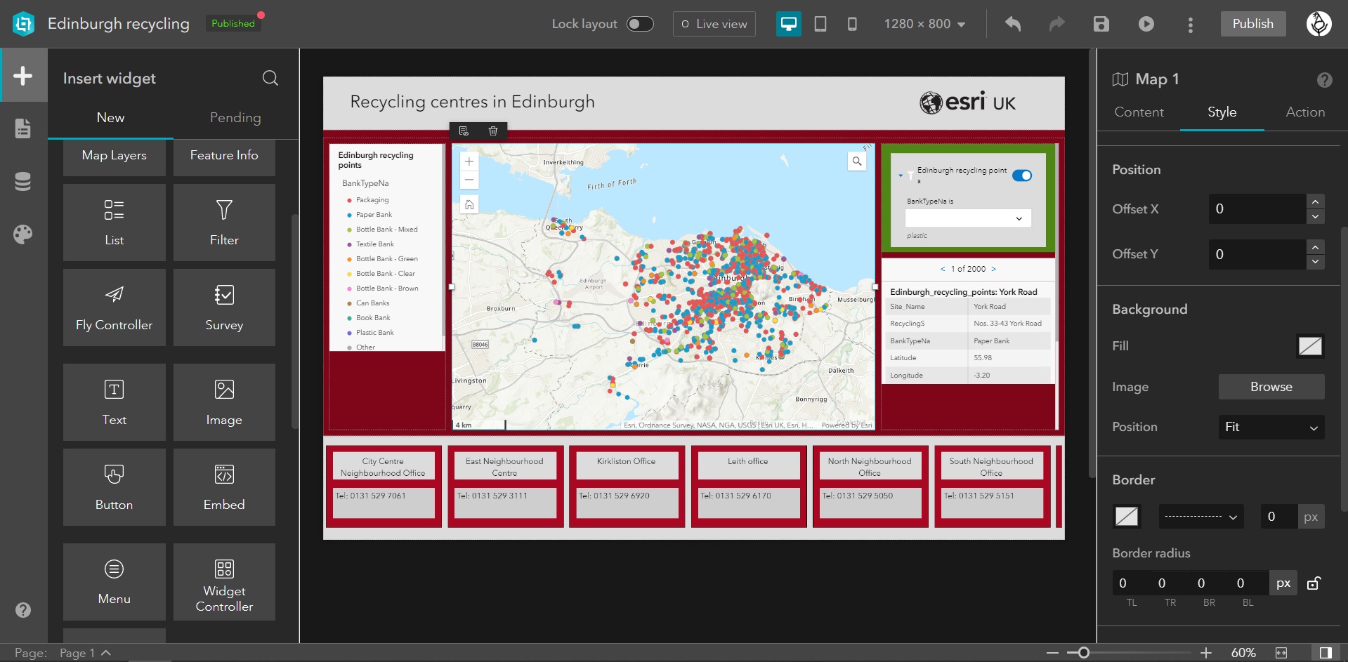
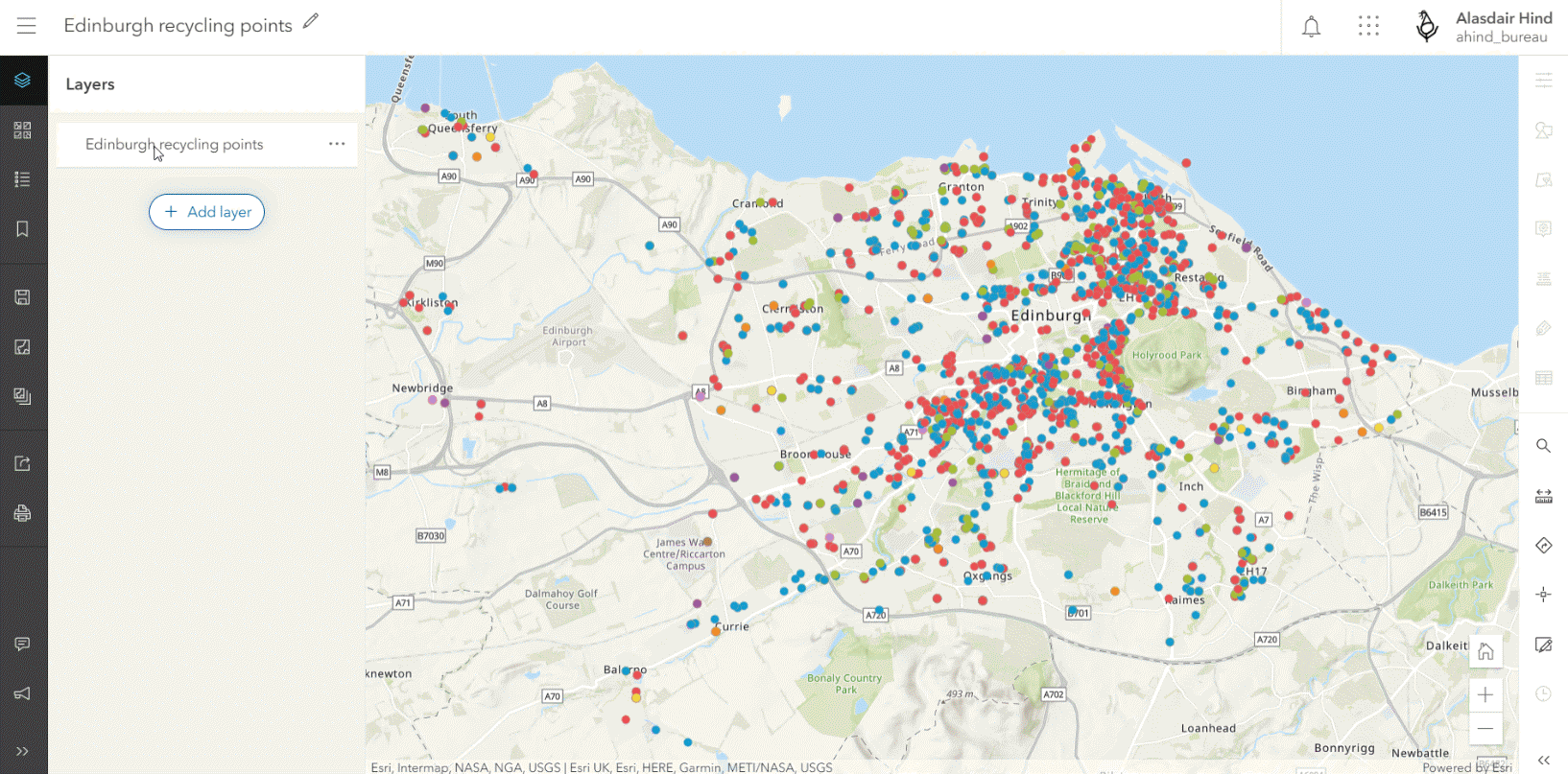
I tried Experience Builder early in its beta and I have to say it fell short of my expectations. I’d got used to putting together Web AppBuilder apps in minutes. On my second go, I came at it with a better understanding of the concept of pages and layout blocks to manage widget location. I pretty quickly pulled together an interactive, map-focused app with some cool interlinking of widgets (shown above). I even created a custom experience for smart phone users. Experience Builder does require you to invest more time and effort but rewards you with a level of control that only developers have had before.
Does it replace Web AppBuilder? That’s up to you, since they will co-exist in ArcGIS Online. Experience Builder has a lot of functions but not yet as many widgets as Web AppBuilder – there’s more planned. Built on the Javascript 4x API and using modern web technologies it is our first taste of the future.
ArcGIS Notebooks (beta)
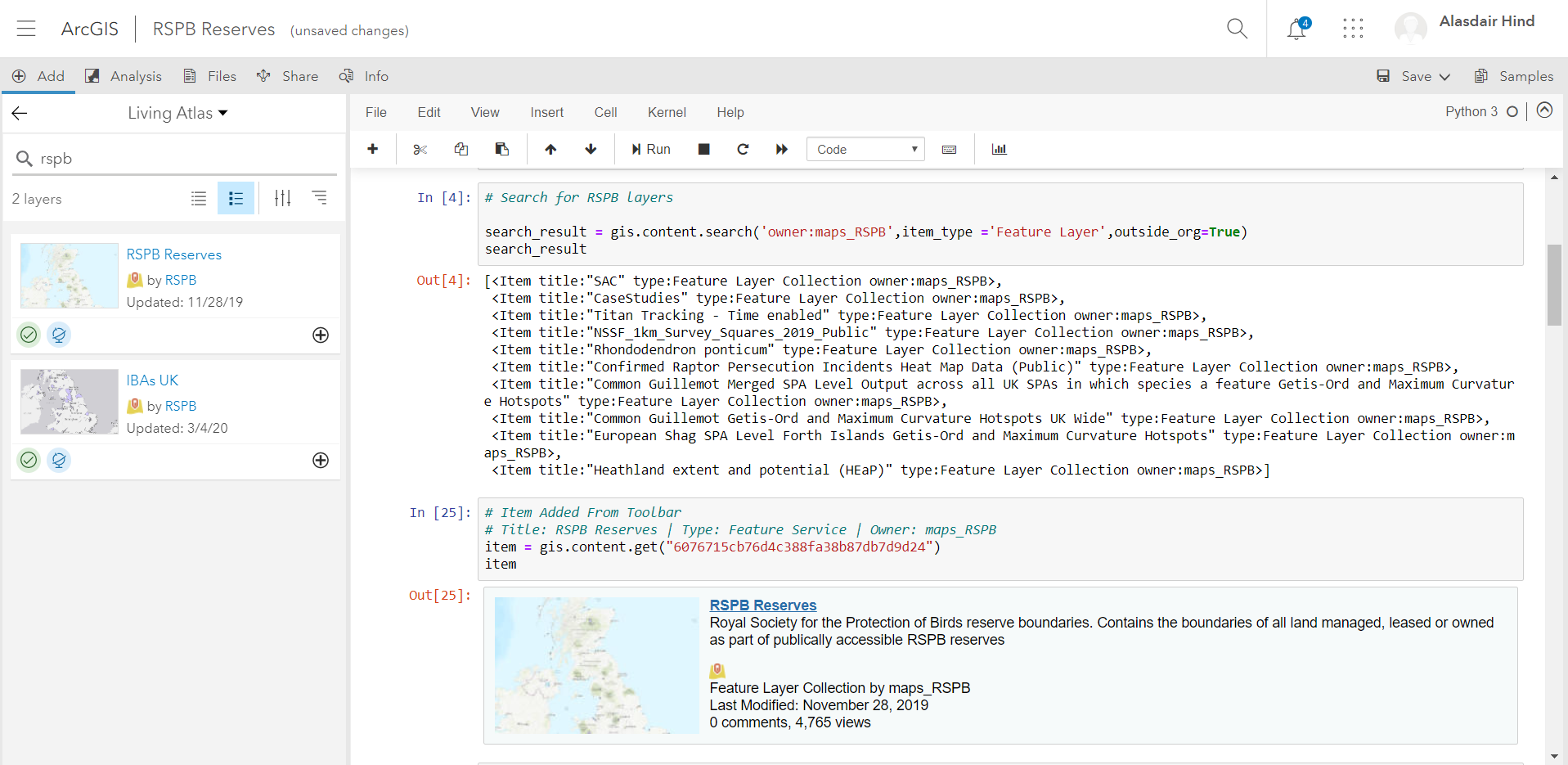
ArcGIS Notebooks allow you to combine the ArcGIS Python libraries with the larger open-source Python ecosystem for spatial data management, spatial analysis, and data science. Esri’s integrated Jupyter notebook experience has arrived, in Beta, in ArcGIS Online. Being able to use python within ArcGIS Online is set to open up some exciting options for managing content, manipulating data and analysing it.
I’m no python expert and when I tried Notebooks in Online for a recent webinar I found it made a big difference to how easy it was to build a python script.
If you’re a command line fan you might wonder what the fuss is about, but for the rest of us having the python in chunks that can be tweaked and re-run makes it a lot easier to work out what we need to do. If you haven’t already, you can see it in action in our Data Science webinar.
If you aren’t an administrator you will need to get Notebooks activated to try it. For a more in-depth look at Notebooks this blog is a good next read.
New versions of old favourites
Two familiar apps are being updated to the ArcGIS Maps SDK for JavaScript 4X and are being enhanced along the way. The Minimalist (beta) Configurable App is a great way to present maps in a simple, responsive way. The new version, out in beta, means you can include the new functionality from maps authored in Map Viewer beta.
Following on from this update, the new version of ArcGIS Dashboards will be available as a beta (note the name change). Built on Javascript 4, this includes performance and usability improvements, as well as ArcGIS Arcade support for list and indicator elements.
The new Map Viewer remains in beta but has been updated since the last ArcGIS Online update – with the addition of labelling. This includes multi-line labelling, scale-dependent labels and rotation of the labels if the map is rotated.
To learn more, see the New labels in Map Viewer Beta blog article.
Admin and data management
Streamlined Edit settings on hosted feature layers and hosted feature layer views allow you to control the types of edits others can make to your layer, including allowing or disallowing edits to feature geometries.
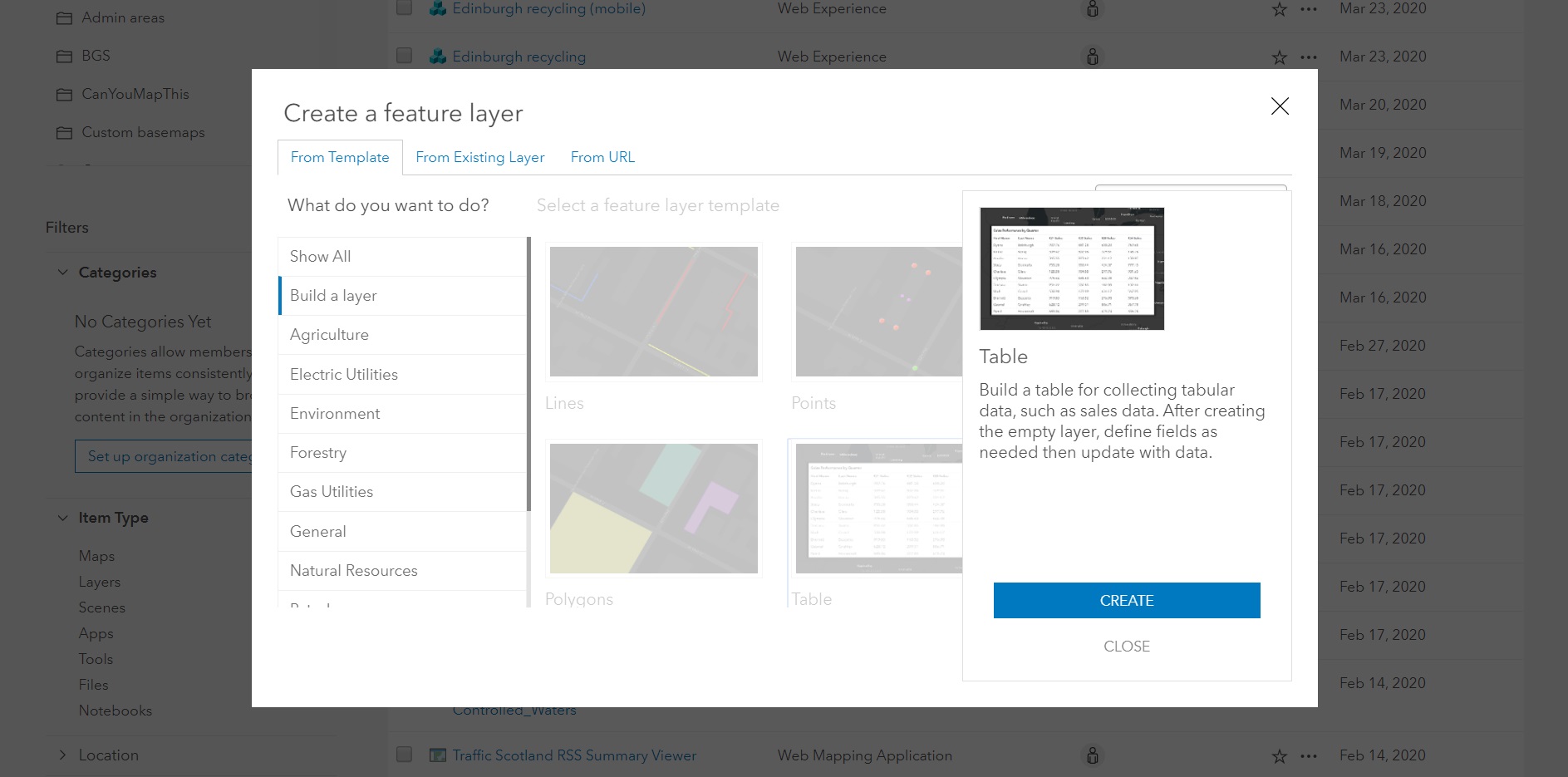
A new feature layer template is available for collecting tabular data. Added through the Create dialog, it gives you a blank table that you can then add fields to via the Data view in the item details.
Also, the size limit for files uploaded to ArcGIS Online has increased from 200 GB to 500 GB.
Enhancements for 3D
You can now label 3D object scene layers based on an attribute, such as the building name or its usage. You can also replace the contents of a scene layer you published from a scene layer package. This allows you to maintain the existing scene layer’s item ID and URL, which means the scenes and apps that contain the scene layer will have access to the updated content without you republishing the layer.
The level picker is a key part of the Building explorer tool and now when you activate this, the bottom building levels appear semi-transparent for added context. If your building attributes contain construction phase data, there’s a new filter to choose which construction phase to display.
If you are using integrated mesh scene layers you can now drape feature layers onto the layer for better 3D visualization. Set the elevation mode to On the ground for point, line, and polygon feature layers. This makes it really easy to capture a 3D representation with Drone2Map for ArcGIS and then overlay operational data onto it.
HTTP Layer Notifications
ArcGIS Online is preparing to enforce HTTPS-only communication at the end of 2020. In this update, organisations who have chosen not to use HTTPS for their web services will receive a notification informing them that adding layers and content via an HTTP URL will not work after December 2020. This blog has more information. To help you check your readiness, a new HTTP Check module has been added to the ArcGIS Online Security Advisor, which can be run from the ArcGIS Trust Center.
Regional Subscriptions
Currently all data hosting for ArcGIS Online is in the US. Following on from this release will be the launch of the first regional subscriptions. Organisations starting a new subscription will have a European Region option for their data hosting. Subscriber and subscription information, item metadata, LBS services and processing (analytics, geocoding, routing, etc.), and back-office systems (subscriber management, credit accounting) will always remain in the US. Note: regional hosting will be for new subscriptions only.
Please check the What’s New page for a full list of the new features in this update. My colleagues in the US have put together a quirky summary video that shows some of the new features in action, though I think the social isolation may be getting to them…