Under the new Public Sector Geospatial Agreement (PSGA), public sector organisations now have access to premium Ordnance Survey (OS) APIs. Read on to find out more about the new services and where you can find further resources to get you started with using them.
What’s included?
There are four premium APIs included in the PSGA and three available as Open Data. Here are the four premium ones included in the PSGA.
OS Maps API
Provides up-to-date, detailed maps of Great Britain in four cartographic styles.
OS Vector Tile API
Provides vector tile maps with customisable content and style.
OS Features API
A service offering access to OS data as features.
OS Places API
Allows ‘geosearch’ using AddressBase Premium. A geosearch allows you to locate an address and zoom to it, but the result is not stored for later use.
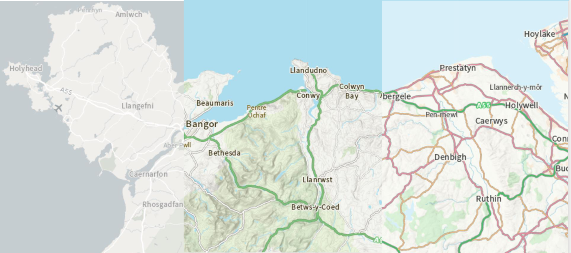
OS Maps API – three of the styles (from left: light, outdoors, road)
We have created a storymap to provide an overview of the APIs and how they can be accessed through the platform. For those that already access OS data in another way, the benefits of both the OS and Esri UK services are highlighted to allow you to make informed decisions going forward.
You can read more about the services in this press release from the OS, and can sign up to use them here.
If you need more information or help with deciding which services to use then please speak to your account manager or contact us: via sales@esriuk.com or call on 01296 745599.