Tag Archives: ArcGIS Hub Premium
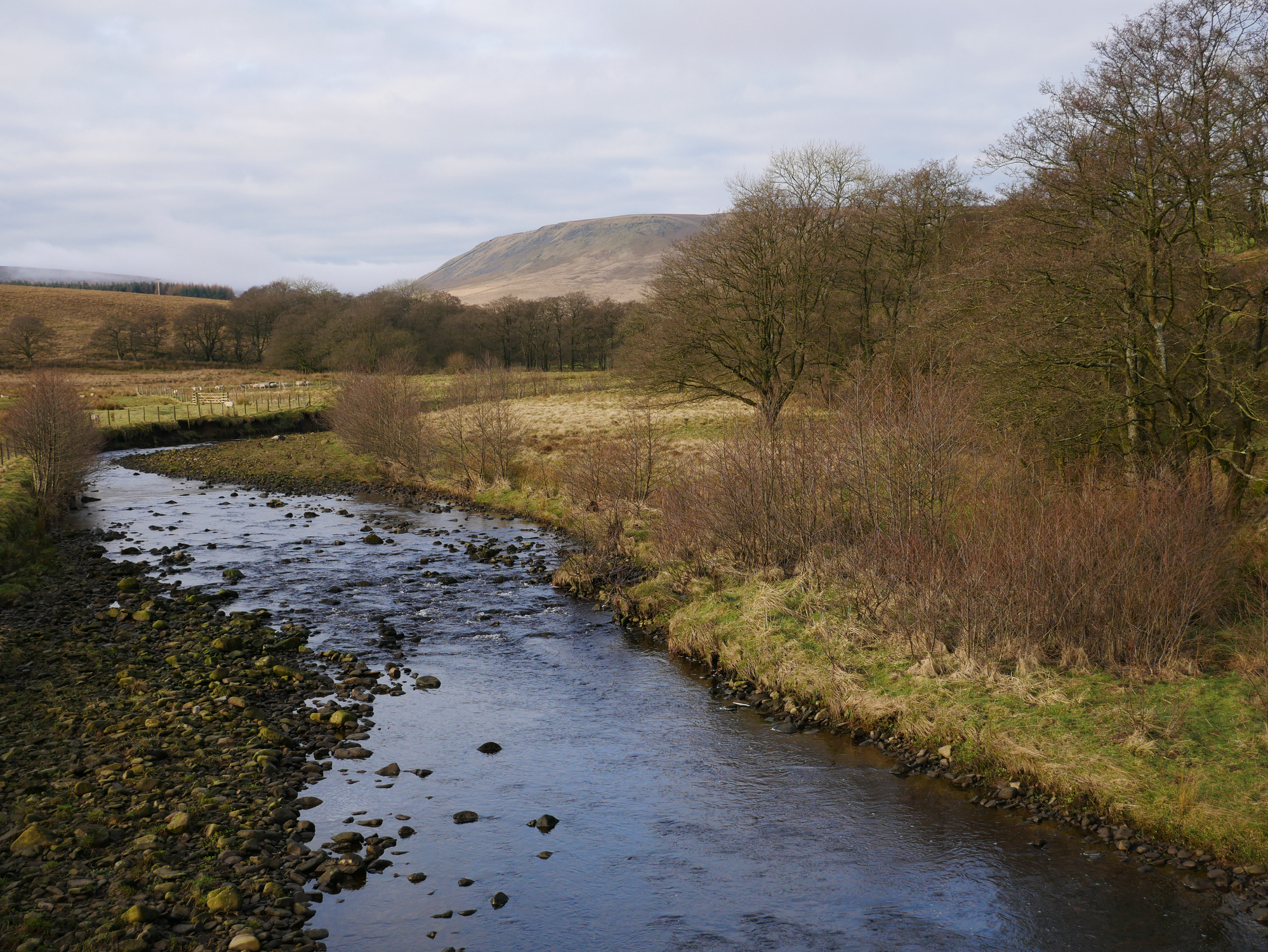
Rivers Trust
Rivers trusts, conservation organisations and community groups use an ArcGIS Hub to map nature-based flood solutions.
Continue Reading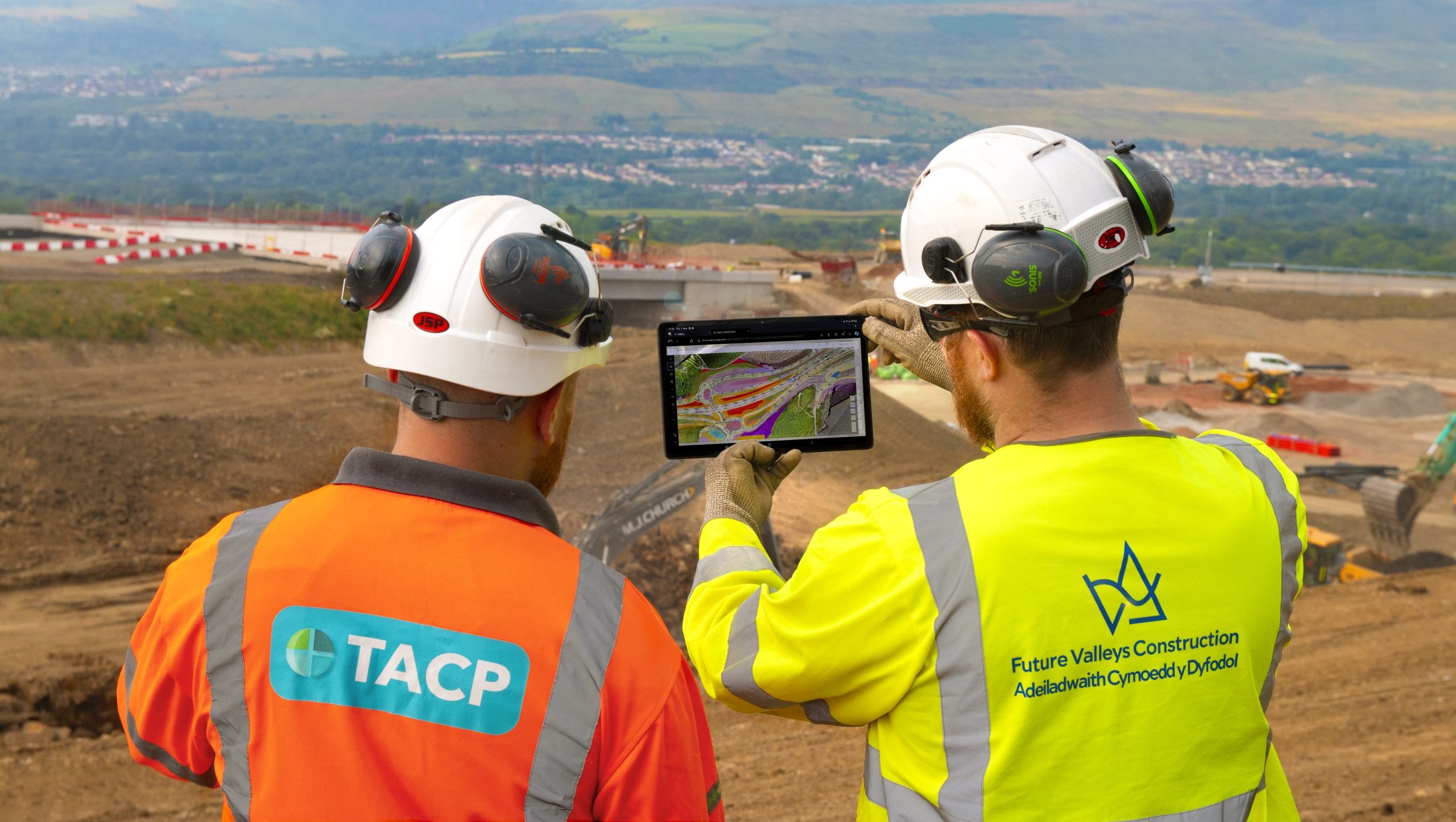
TACP
ArcGIS is embedded into everything we do and supports all aspects of our environmental projects.
Continue Reading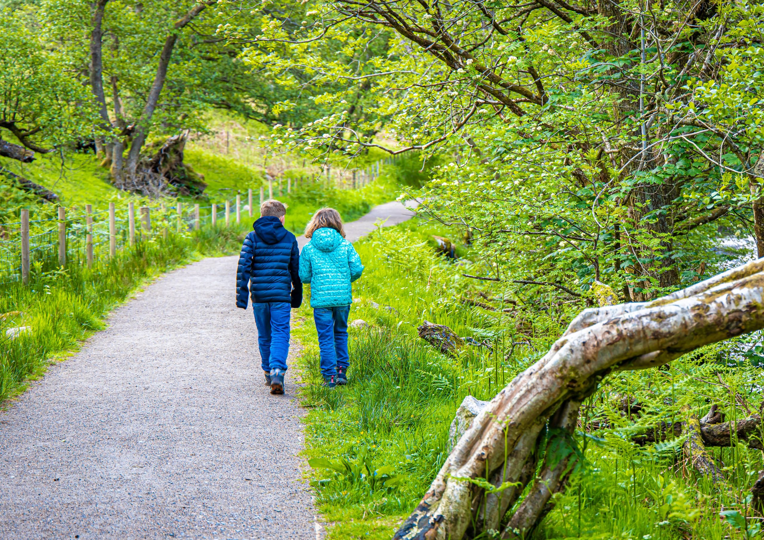
NatureScot
With funding from the Scottish Government, we have created a toolkit of digital solutions to help pupils learn about biodiversity and climate change and take positive action to improve their school grounds for nature.
Continue Reading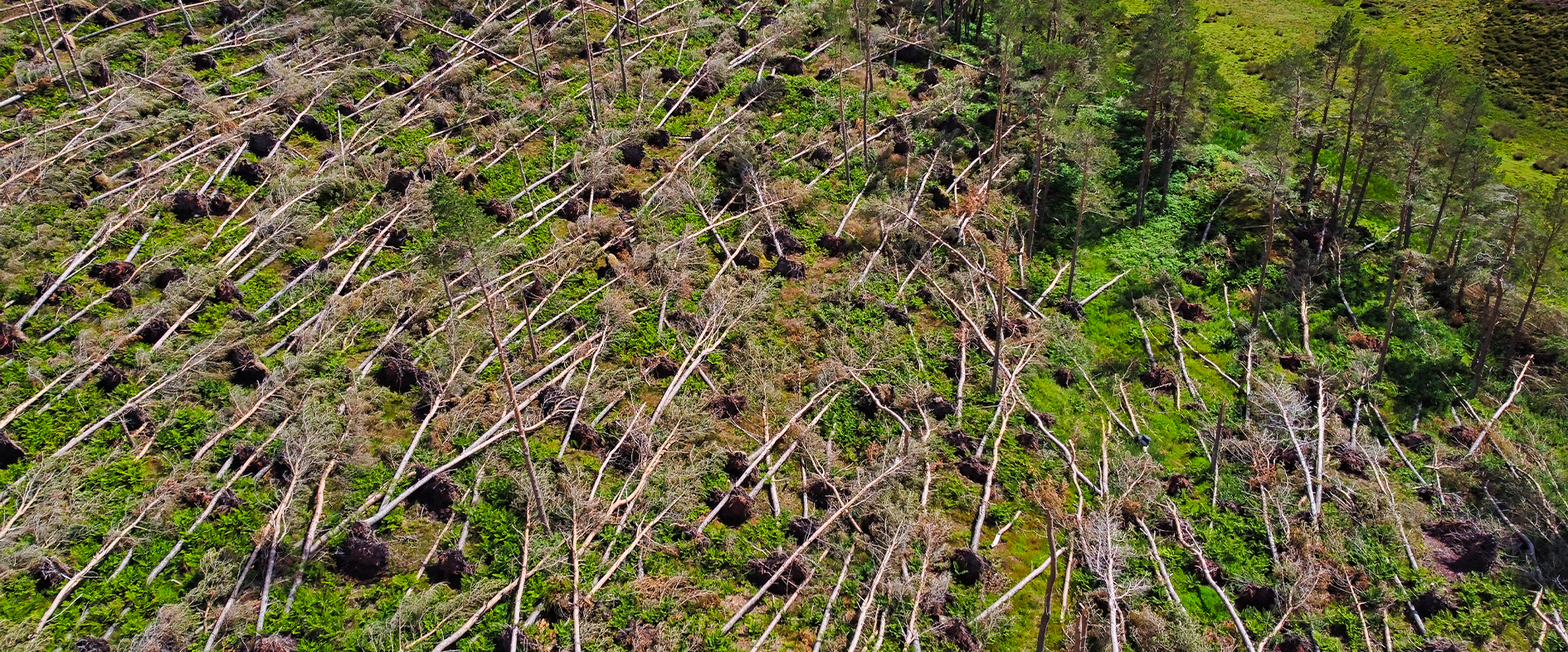
Forest Research
In the aftermath of Storm Arwen, ArcGIS enabled us to engage the help of citizen scientists and accurately assess the devastating impact of this natural disaster on the UK’s forests and woodlands.
Continue Reading