Tag Archives: ArcGIS Online

British Geological Survey
Council teams and contractors use our new ArcGIS tool to assess coal mine gas risks more quickly and precisely.
Continue Reading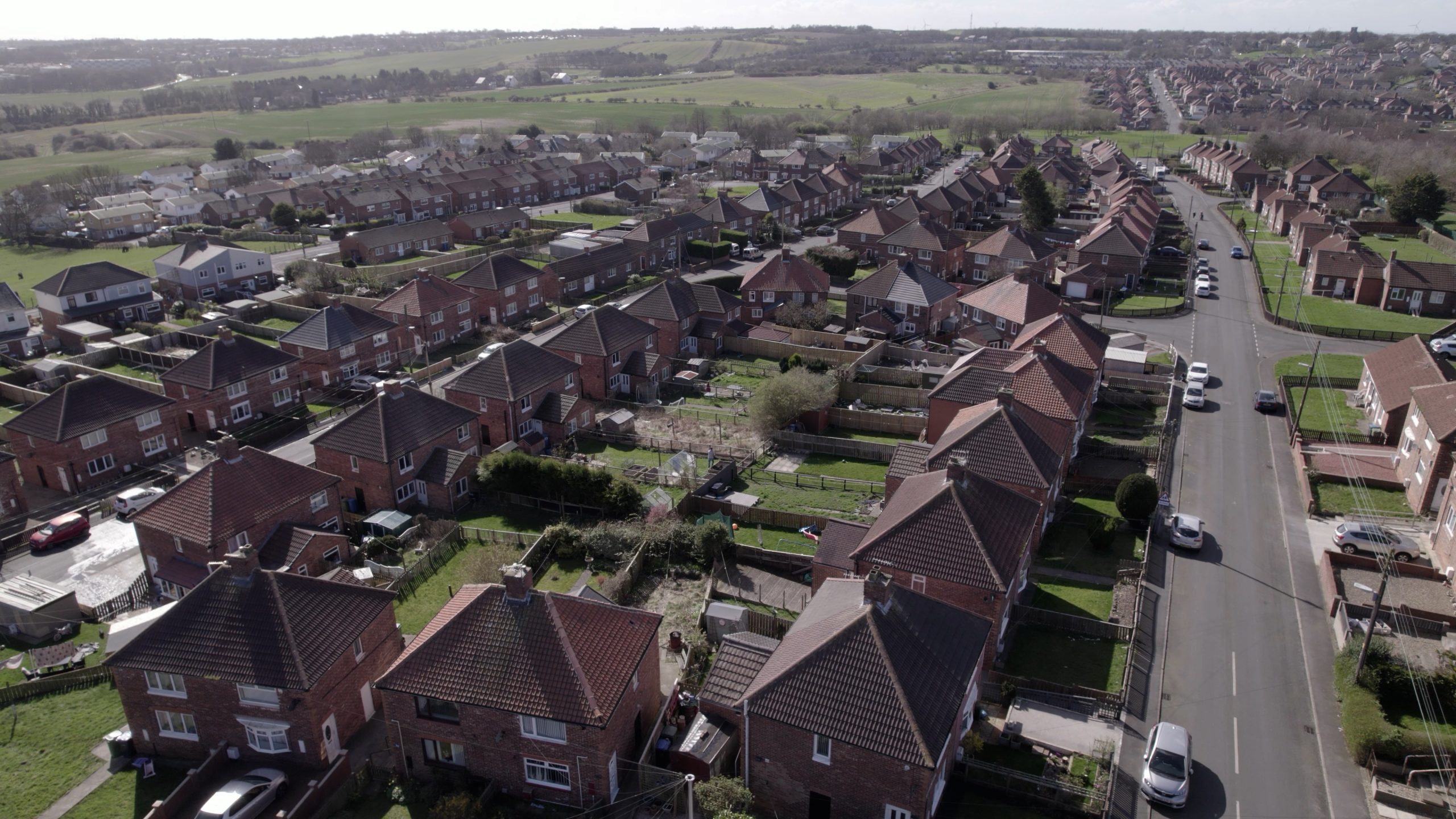
SHINE
Housing associations in North East England are using ArcGIS to share data, collaborate more effectively and deliver cost-effective services for tenants.
Continue ReadingBring temporal data to life with the ArcGIS Instant Apps Slider template
Need to animate data based on numeric values or time intervals? The Slider template in ArcGIS Instant Apps is a perfect way to do this. It’s ideal for displaying historical, live, or even future data. Users can interact with the … Continue reading
Continue Reading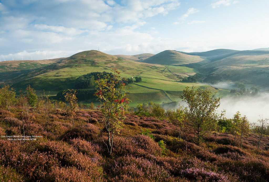
Woodland Trust
An app built with Sweet for ArcGIS is supporting the creation of new native woodlands across the UK.
Continue Reading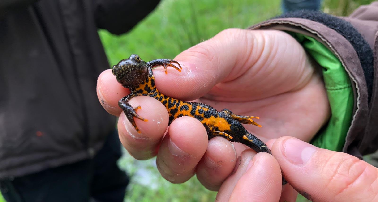
Natural England
We have successfully leveraged ArcGIS technology to digitise and modernise our DLL Scheme, increasing the integrity of our data, supporting better decision-making and enhancing collaboration with our stakeholders.
Continue ReadingAnalysing what ArcGIS Business Analyst has to offer
How can I find the optimal location for my business? What kind of population is near here? Are there any demographic trends I need to plan for? These are just some of the many variables you may need to consider … Continue reading
Continue Reading
University of Glasgow
ArcGIS provided the research method in a project to better understand the variety of parks available across Great Britain.
Continue ReadingGoing places with the June update to ArcGIS Online
Travelling back from a work meeting on the train can be a great chance to get some focus time and immerse yourself. So I’m catching up with the latest update to ArcGIS Online and wanted to share my highlights (spoiler … Continue reading
Continue Reading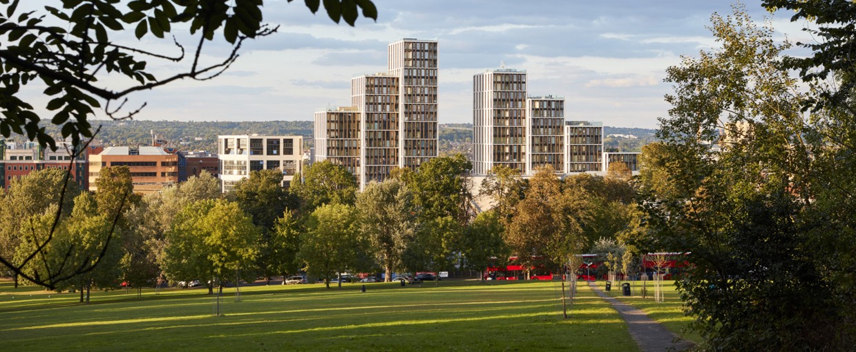
London Borough of Harrow
In our first steps towards creating a digital twin of the borough we are already delivering cost savings for the council and benefits for local citizens.
Continue Reading
Bloxham School
Through the Bloxham Sustainability Challenge we are inspiring students to gain GIS skills and learn about sustainability.
Continue Reading