Tag Archives: ArcGIS Pro
Understand Arcade syntax to help write effective scripts
Arcade is a fantastic expression language that gives you more customisation options in your ArcGIS System. But if you have wondered how to get started with writing your own expressions, or how you can format them better, you’re definitely not … Continue reading
Continue ReadingUnderstanding ArcGIS Pro license levels
The user type model, introduced in 2018, combined capabilities and apps together to align with the needs of different GIS users. ArcGIS Pro comes with the Creator, Professional and Professional Plus user types. Each user type comes with a different … Continue reading
Continue Reading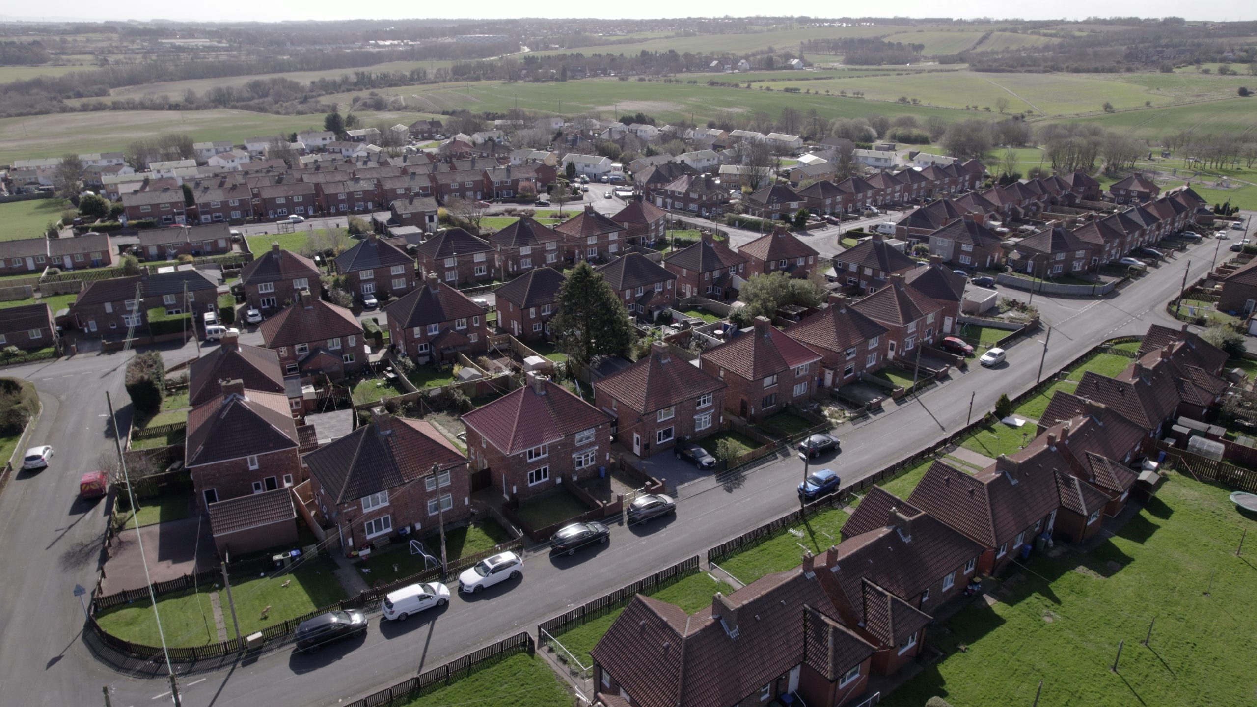
believe housing
By taking an organisation-wide approach to the delivery of GIS we are encouraging cross-directorate collaboration and driving better outcomes for staff and customers.
Continue Reading
Ocean Conservation Trust
We are using a suite of ArcGIS solutions to help us protect, regenerate and restore the UK’s seagrass meadows.
Continue Reading
Keep Wales Tidy
Our new ArcGIS-driven litter survey methodology is giving us richer data to help influence and monitor policy and keep Wales tidy.
Continue Reading
British Geological Survey
Council teams and contractors use our new ArcGIS tool to assess coal mine gas risks more quickly and precisely.
Continue Reading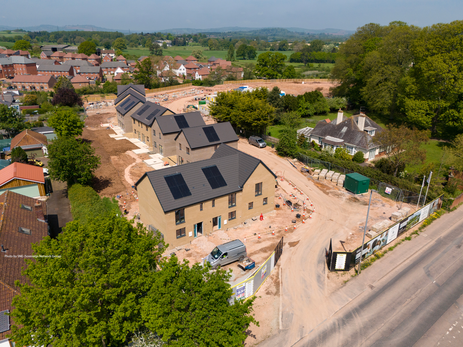
Sovereign Network Group
We have leveraged the existing capabilities of Power BI and ArcGIS to realise powerful new analytical insights, with our Community Indicator Model, to support more informed community investment decisions.
Continue ReadingArcGIS field calculations as a novel project progress tracker
The Challenge The London Underground is one of the most extensive metro systems in the world, and the complex nature of the network led to the creation of one of the most well-known topological maps in the world. But… what … Continue reading
Continue Reading
University of Glasgow
ArcGIS provided the research method in a project to better understand the variety of parks available across Great Britain.
Continue Reading
West Midlands Police
We can direct police patrols to the right locations to protect citizens, using new intelligence from ArcGIS about harmful crime.
Continue Reading