Tag Archives: ArcGIS QuickCapture
Post navigation
Sustrans
By supplementing our in-house data with additional third party data in ArcGIS Online, we gained the insight needed to inform the future development of the National Cycle Network.
Continue ReadingEnergy Systems Catapult
We have built an innovative range of data products with ArcGIS that are helping to accelerate net zero strategies.
Continue ReadingNorth Sea Transition Authority
The world’s first carbon storage licensing round was supported end-to-end by an ArcGIS-driven process.
Continue ReadingRivers Trust
Rivers trusts, conservation organisations and community groups use an ArcGIS Hub to map nature-based flood solutions.
Continue ReadingMott MacDonald
ArcGIS played a central role in enabling us to survey biodiversity at 14 separate sites and deliver a fast, high-quality service for our clients
Continue ReadingRSK Group
With an Enterprise Licence Agreement, we are expanding access to advanced GIS capabilities across more than 200 businesses and optimising our use of ArcGIS.
Continue ReadingTACP
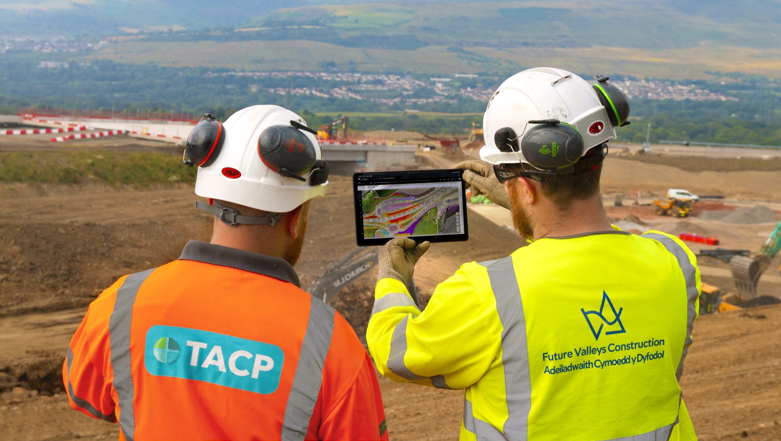
ArcGIS is embedded into everything we do and supports all aspects of our environmental projects.
Continue ReadingRoyal Commission on the Ancient and Historical Monuments of Wales
We are providing insight into 400 years of landscape change by bringing ancient maps back to life in ArcGIS
Continue ReadingScottish Fire & Rescue
With an ArcGIS-based risk model, we can be better prepared for emergencies right across Scotland.
Continue ReadingCrimestoppers
Crimestoppers provides police forces with exclusive information and ArcGIS Dashboards plays a vital role in sharing this accurate and insightful data, driving more impactful local crime prevention campaigns.
Continue Reading