Tag Archives: Defence

42 Engineer Regiment
At a time of national emergency, 42 Engineer Regiment used GIS to help the Government make critical decisions
Continue Reading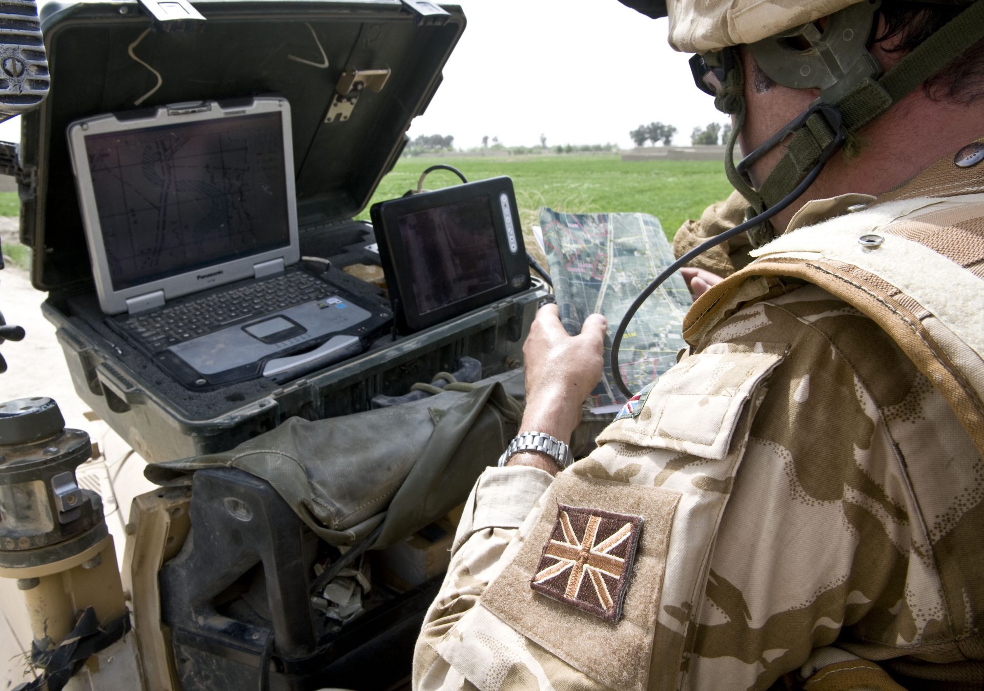
Royal Engineers
Esri’s ArcGIS software has been embedded into an engineering planning and control system, used by the Royal Engineers to help it build bridges, manage minefields and arrange demolitions in combat zones. GIS helps teams to complete tasks more quickly and make better decisions.
Continue Reading