Tag Archives: From ArcGIS Desktop to ArcGIS Portal

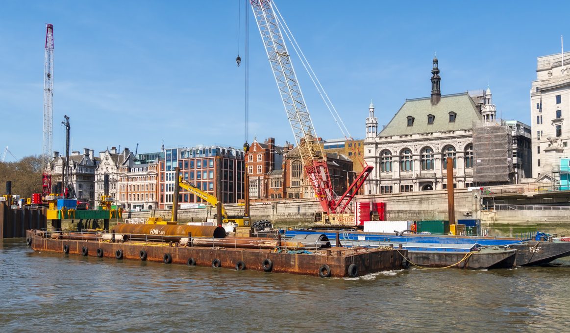
Thames Tideway Tunnel
Our geospatial strategy and using GIS throughout the life of the Tideway project, has given us consistent means of engagement with every single stakeholder, from construction partners to community groups and local authorities.
Continue Reading