Tag Archives: Portal for ArcGIS
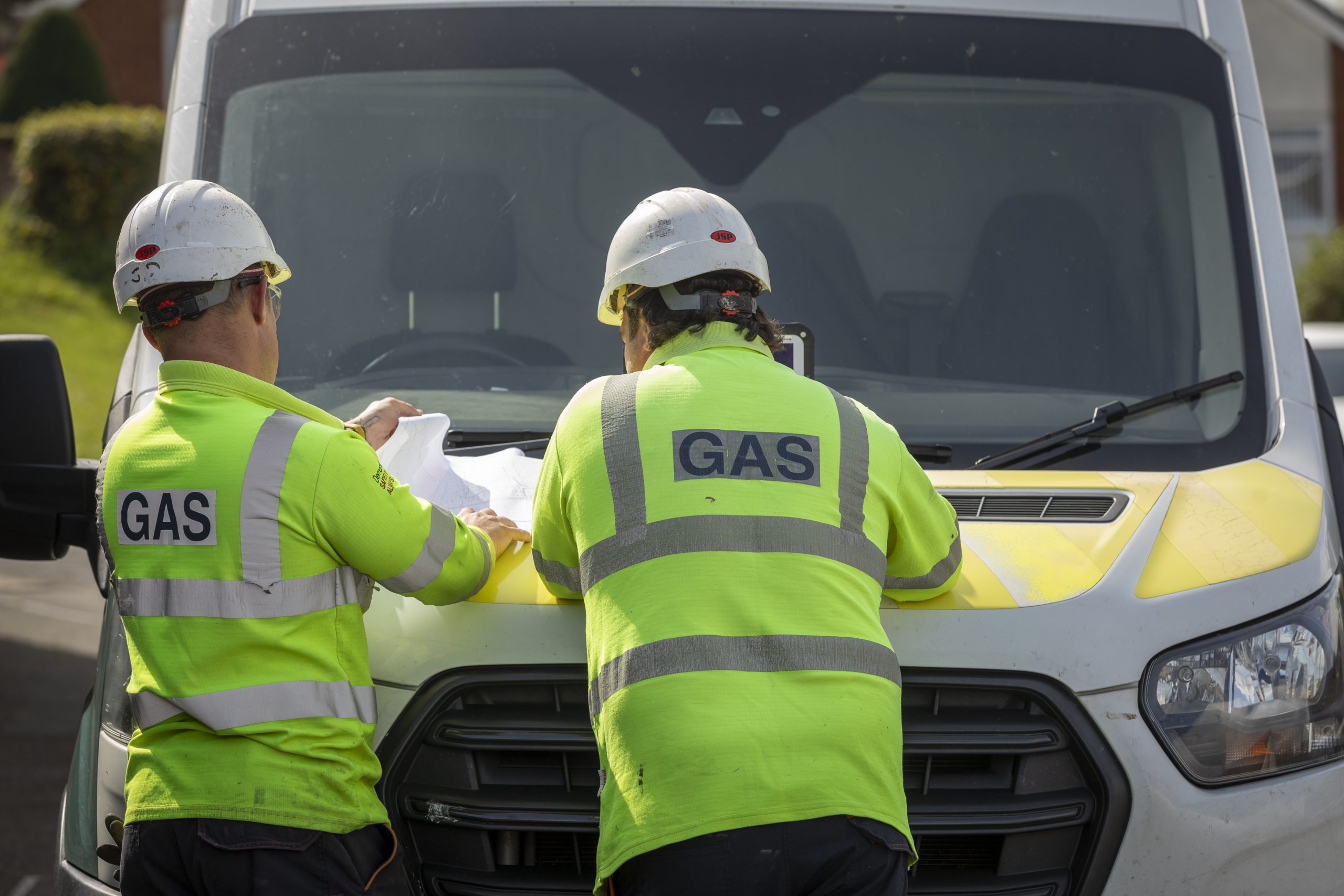
Wales and West Utilities
By updating our corporate GIS platform, we have improved our operational efficiency and gained the ability to build new apps quickly to meet future business needs.
Continue Reading
AtkinsRéalis
We are using ArcGIS Portal, ArcGIS Pro and ArcGIS Field Maps to drive the AtkinsRéalis SpatialCDE, used by multiple stakeholders to make construction projects more efficient while driving Biodiversity Net Gain.
Continue Reading