The very nature of a pandemic makes geographic data a key part of tracking and responding to it, at international, national and local levels. In response to the unfolding crisis, Esri launched a global initiative to provide mapping software and assistance to organisations working to manage the impact of the pandemic. Signing up for the COVID-19 support gives your organisation access to ArcGIS Hub Foundation. This system is built on ArcGIS Online – our hosted GIS.
This blog is intended to provide some technical background to what Hub is and how it can be used. Some of you reading this will be part of the GIS community but some of you may still be wondering what GIS means. I’ll try and cover acronyms and concepts along the way so please bear with me…. GIS stands for Geographic Information System and is used to describe software for creating, managing, analysing and presenting data (that has a location element) in its geographic context.
Hub Foundation
Your new Hub is an ArcGIS Online subscription plus some extra options for sharing maps and data. If you are new to ArcGIS Online please read this companion blog to find out how to get started and create maps with it. So now you all know a bit about setting up data layers, creating maps and configuring apps. Where does Hub come in?
Hub Foundation is all of the power of ArcGIS Online plus a really useful way to present your GIS content to others – the ability to create Hub Sites.
A Site is a website hosted as part of ArcGIS Online that makes it easier for people to find and access your data, maps and apps – either the public or people in your organisation.
Information is critical in an emergency like this and since you are here you understand the power of maps to present and understand spatial data. But any map, chart or infographic can only tell so much. You need to ensure your audience understands what you are showing them and what you are not showing them. A Hub Site lets you present your maps and apps via a set of pages where you can present the context information alongside them. As with the apps – no coding required!
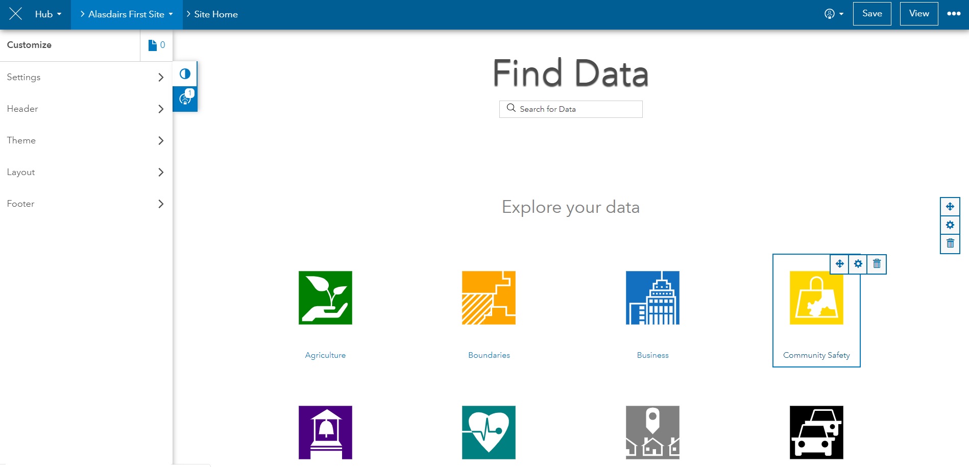
A Hub Foundation Site is aimed at running an open data site and if you choose the Create Site option you will get a layout that is oriented to that use case:
Esri have created two brand new templates and made them available in Hub Foundation to help with the Coronavirus response. To use one of these choose to Browse Templates. Then click Activate Initiative. Coronovirus Response template creates a site that looks like this (find out more about the templates here):
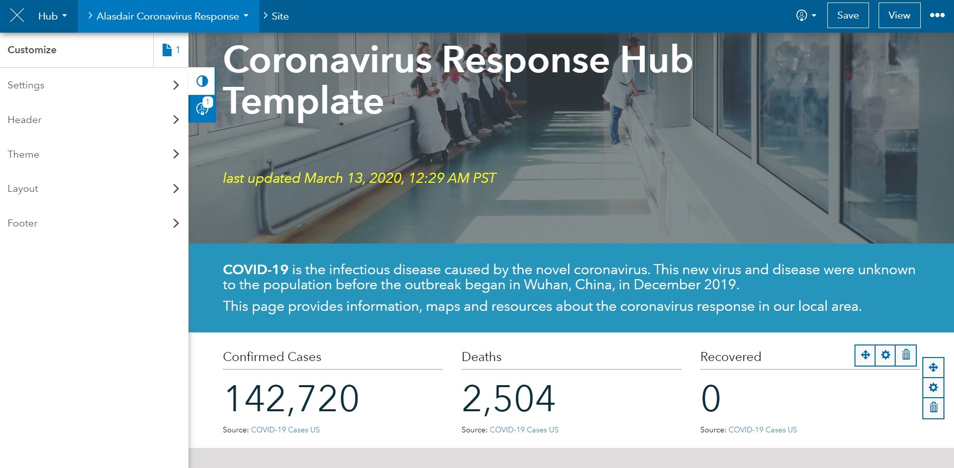
Whichever way you create a Site you can edit or remove the page elements by hovering over them so the edit controls appear (see the bottom right of the image above).
New page elements and content blocks can be added using the menu on the left. There’s a lot of scope for building a site that has the structure and content you need. You can also create more than one site so you can tailor them to different audiences if you need to. The Esri UK COVID-19 response hub is an example of one that was created from a template and then edited.
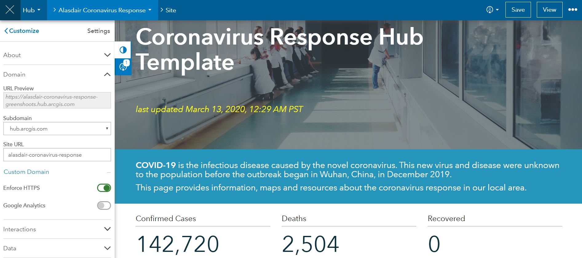
There also some Settings options you can use including the site’s URL, which defaults to the name of the site:
Note: Hub has two levels – Foundation and Premium. When you are looking at the help pages you may find some of the capabilities it describes aren’t available to you in Hub Foundation. You might also see Hub Basic – which refers to Hub Foundation
Why did it say it was activating an Initiative?
If you use a template it talks about activating an Initiative. This is a mechanism for linking; content, a site and a group (called Team in the Hub UI and help pages). Behind the scenes it will have created a new Group (owned by you) for the Initiative and shared the new site to the group.
Sharing
Once you’ve built your site it’s time to share it. Sites start as shared with a group and you can leave it like that, make it available to your whole Organization or make it Public. A Hub Site is really easy to use way for people to understand and access the resources they need – either as open data and maps or securely within your organisation. If you need to share securely with another organisation that is using ArcGIS Online you can do this via a group.
If you are thinking all this sounds to tricky or time-consuming I’ve borrowed this gif - the Coronavirus template deployed in 45 seconds:
This isn’t intended to be a comprehensive guide but hopefully it’s given you some background and introduced some of the concepts to help you get started. There’s another good overview of general the process in this blog or a more comprehensive guide to the Coronavirus Response template (including customisation) here.
One of the areas I haven’t discussed is the use of the mobile apps that work alongside ArcGIS Online / Hub. You’ll find previous blog posts in the blog on these, including an introduction to Explorer, a 123 on Survey 123 and an intro to QuickCapture. For more complex data capture tasks, have a look at Collector. We’re continuing to pull together resources to support you in your work to respond to COVID-19 so keep an eye out on our website, the Esri UK COVID-19 response hub, in this blog and on social media.