Environmental scientist Claire Wood is living her dream. As a fifteen-year-old schoolgirl she visited the UK Centre for Ecology & Hydrology (UKCEH) and was inspired by the fieldwork that she saw. Now, over twenty years later, she is not only pioneering new ways to capture, visualise and analyse field data at UKCEH; she is also bringing archived records from decades-old field studies back to life.
From work experience to dream job
Just one week of work experience was all it took to convince Wood that conservation was where her future lay. During this brief time at UKCEH—then called the Institute of Terrestrial Ecology—she had the opportunity to watch technicians using early geographic information system (GIS) software, and this piqued her interest in digital mapping. “There were people wandering around in white lab coats and all this cool technology on desks. It felt very James Bond!” she recalls.
She went on to study geography at university, at a time when GIS was still quite a new and niche technology. GIS was introduced as a third year module when she was in her fourth year, so she signed up to attend this course as an extra-curricular activity. She also put her emergent GIS skills into practice by mapping nature reserves as part of her final year dissertation.
After a year spent working in the field, surveying the biodiversity impacts of genetically-modified crop trials, Wood went back to university where she gained an MSc in Earth Observation and GIS. Then in 2003, she was offered the job she had always wanted and joined the team at UKCEH full-time, working initially as a ‘soil zoologist’ and counting micro-organisms in soil. She has held many varied roles since then and is now a Senior Geospatial Information Scientist with the organisation.
From paper-based to digital field work
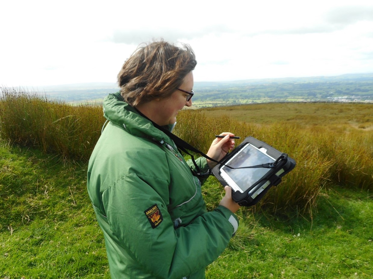
While working in the Soil Ecology Team in 2006, Wood became involved in what was, at the time, a revolutionary project to replace paper-based data capture forms using Esri’s ArcGIS technology. She played a pivotal role in migrating data to the organisation’s new ArcGIS Enterprise system and helped transform age-old, traditional soil sampling and field-survey practices with mobile, digital solutions. The new electronic data capture methods were used for the first time in the Countryside Survey 2007, a national countryside monitoring programme for Great Britain first undertaken in 1978.
In 2018, having accrued a great deal of GIS experience over the intervening years, Wood led a second wave of digitisation at UKCEH. Under her direction, the organisation’s ArcGIS-based field apps were upgraded to make them even more efficient and to further streamline key workflows in UKCEH’s long-term ecological monitoring projects. As a result, data collected in the field using ArcGIS tools is now transferred digitally from mobile devices directly into ArcGIS Online without manual intervention, speeding up the delivery of reports, improving data quality and reducing field survey costs.
Since then, Wood has continued to innovate with ArcGIS. She has, for example, recently implemented a new field survey approach for hedgerow surveys using SWEET for ArcGIS and is considering the use of 3D mapping techniques in ArcGIS to improve the visualisation of Britain’s precious hedgerow habitats. “Environmental organisations like UKCEH need to be able to conduct field surveys more efficiently and present information clearly so that it can be used to inform nature improvement programmes,” she says, adding, “After all, you can’t manage what you can’t measure.”
From dusty archives to invaluable insight
In around 2021, Wood completed a project of which she is particularly proud. She discovered, almost by chance, a pile of dusty boxes containing the original paper survey forms filled in by scientists during field studies back in the 1950s, 1960s and 1970s. Fascinated, she poured over them and quickly realised that these forgotten boxes of paperwork could reveal incredible insight into countryside changes over the course of more than half a century – if only they were in a useable format.
Rising to the challenge, Wood used ArcGIS Online and desktop tools to digitise and geo-reference the information on the paper forms, creating incredibly valuable, historical, environmental datasets. She was lucky to have a mentor, Bob Bunce, a retired professor and Fellow of UKCEH who initiated most of the surveys from the 1960s and was happy to support Wood – over a pint of beer! “He was delighted that someone was taking an interest in his past work,” Wood says.
Each box contained original field data sheets, field handbooks, a few photographs and, most intriguingly, letters between surveyors organising the logistics including hotel stays and travel itineraries. Some of the survey data had, in the late 1990s, been entered into Excel spreadsheets, but much of the detail about the survey process and geospatial context had been overlooked, so the Excel spreadsheets alone were almost meaningless. By capturing information on the survey process (such as how trees were measured) and precise locations for where the data was collected, Wood created rich new datasets that can now be easily analysed and compared with modern survey results.
From the past to a more sustainable future
Wood has now made the datasets from the 1950s, 1960s and 1970s available as open data through the Environmental Information Data Centre, a hub for nationally-important environmental datasets of long-term value, that is hosted by UKCEH on behalf of the Natural Environment Research Council. She has also written a series of published, openly available papers, explaining what the datasets show, how they support current initiatives and how they can be used to gain insight into ecological changes.
As far as Wood is concerned, the past is very relevant to today. “The essence of surveying hasn’t changed; scientists are still looking at plants and soil and asking similar questions to the ones they asked 70 years ago, as well as new ones,” she explains. “Back in the 1950s and 1960s, scientists had real foresight in collecting data. By looking back at their findings then, we can identify and monitor changes over a long time span. The trends are there to see.”
She hopes that UKCEH and many more organisations will draw on the historical datasets to help them understand critical issues including climate change and biodiversity loss over time. Summing up, she says, “I like looking back and making old things more relevant and usable for now. The more you know about the past, the better you can understand the present and plan for a more sustainable future.”
 Claire Wood - UK Centre of Ecology & Hydrology