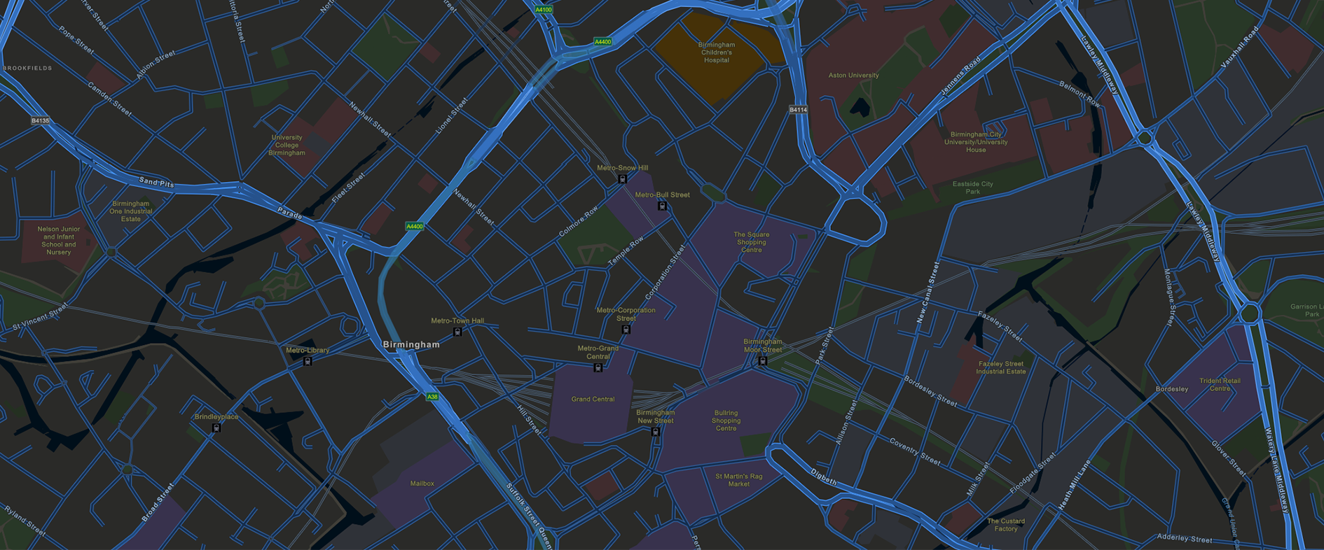
Tag Archives: ArcGIS Maps SDK for JavaScript
Carter Jonas
We now have a highly efficient, standardised digital process for conducting property inspections nationwide that is saving us time and improving our service for clients.
Continue Reading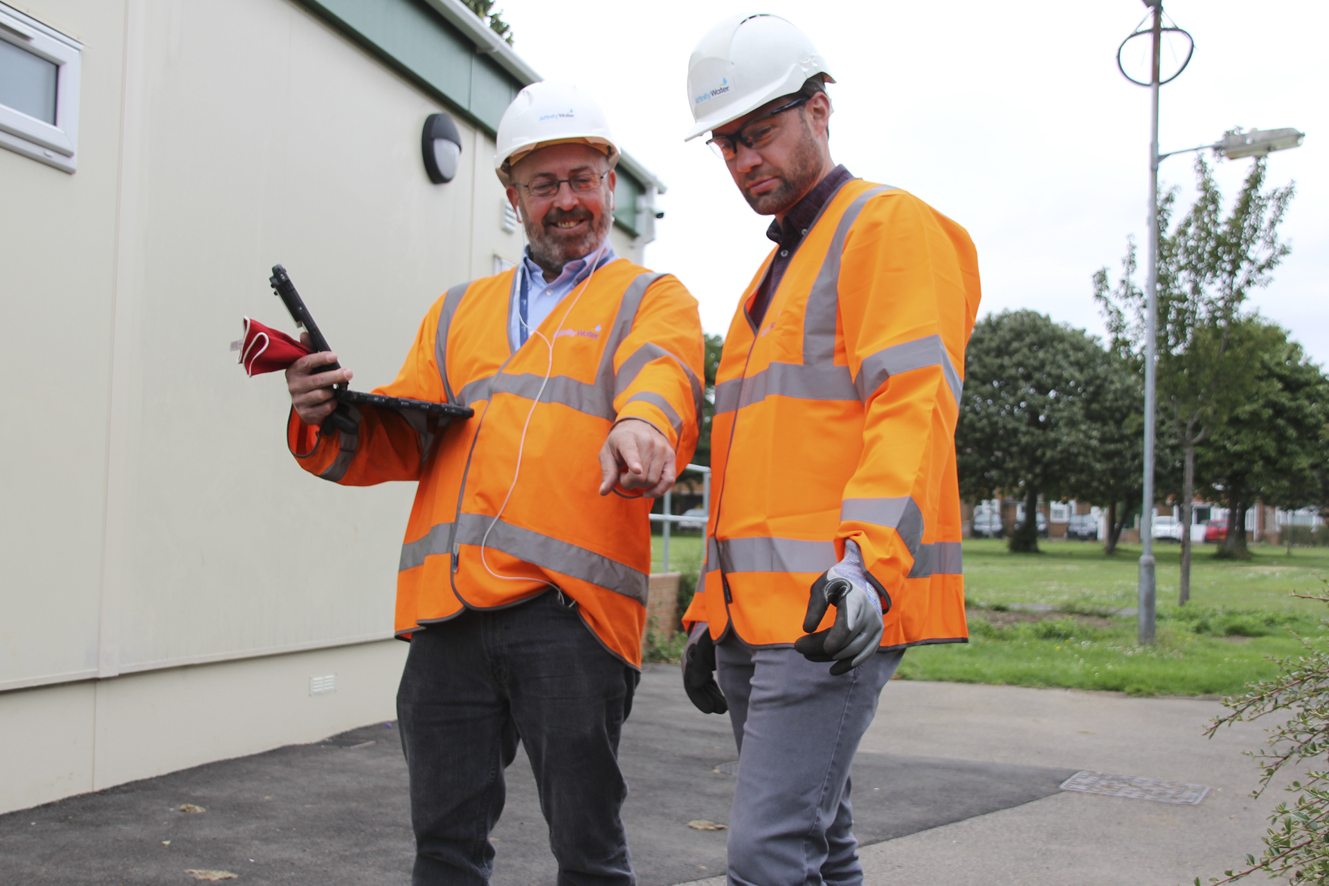
Affinity Water
ArcGIS is a key technology that is helping us to respond more quickly and effectively to water supply interruptions and leakages and deliver excellent services for customers
Continue ReadingIf I can write JavaScript, so can you
I’m not a developer. Until recently, I’d never so much as looked at a line of code, let alone attempted to write some myself. I assumed that without a computer science degree, there was no point even trying. When struggling … Continue reading
Continue ReadingVisualising Lightning: an exercise in aggregating data
I received some interesting data from the Met Office - lightning strike locations for the UK and Ireland. Given a new set of data there is a common process that I work through to arrive at the final map.
Continue Reading3D Geology using version 4.x of the ArcGIS Maps SDK for JavaScript
This week I'm delighted to introduce a guest post from the British Geological Survey. They used the new version of the ArcGIS API for Javascript to create their 3D Geology of Britain map viewer. Hear how they got on.
Continue Reading