Tag Archives: ArcGIS StoryMaps
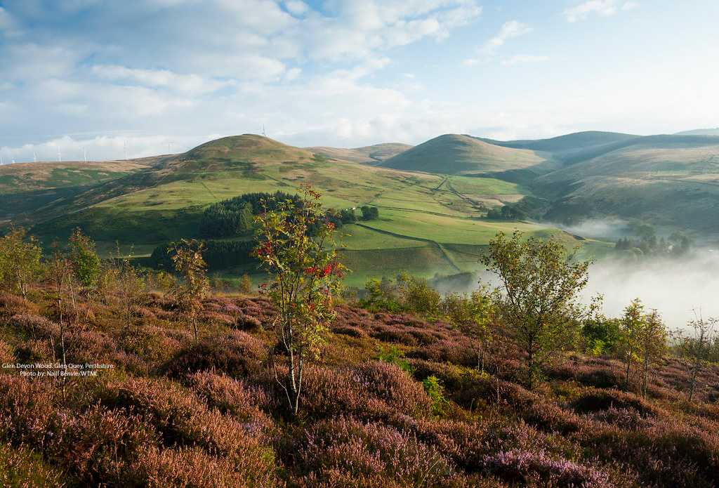
Woodland Trust
An app built with Sweet for ArcGIS is supporting the creation of new native woodlands across the UK.
Continue Reading
The Crown Estate
Automated geospatial analysis conducted with ArcGIS provides the evidence we need to inform the future of marine environments up to 2050.
Continue ReadingArcGIS update – spring 2025
February saw releases and updates across several parts of the ArcGIS system, so we wanted to provide a summary of all the updated products and share key links so you can find out more. I know it wasn’t quite spring, … Continue reading
Continue Reading
Lancaster City Council
We have used ArcGIS StoryMaps and Experience Builder to display research and outputs from the Lancaster High Streets Heritage Action Zone.
Continue Reading
Virtual Bradford
Working collaboratively with ArcGIS, we achieved our shared vision of a Virtual Bradford
Continue Reading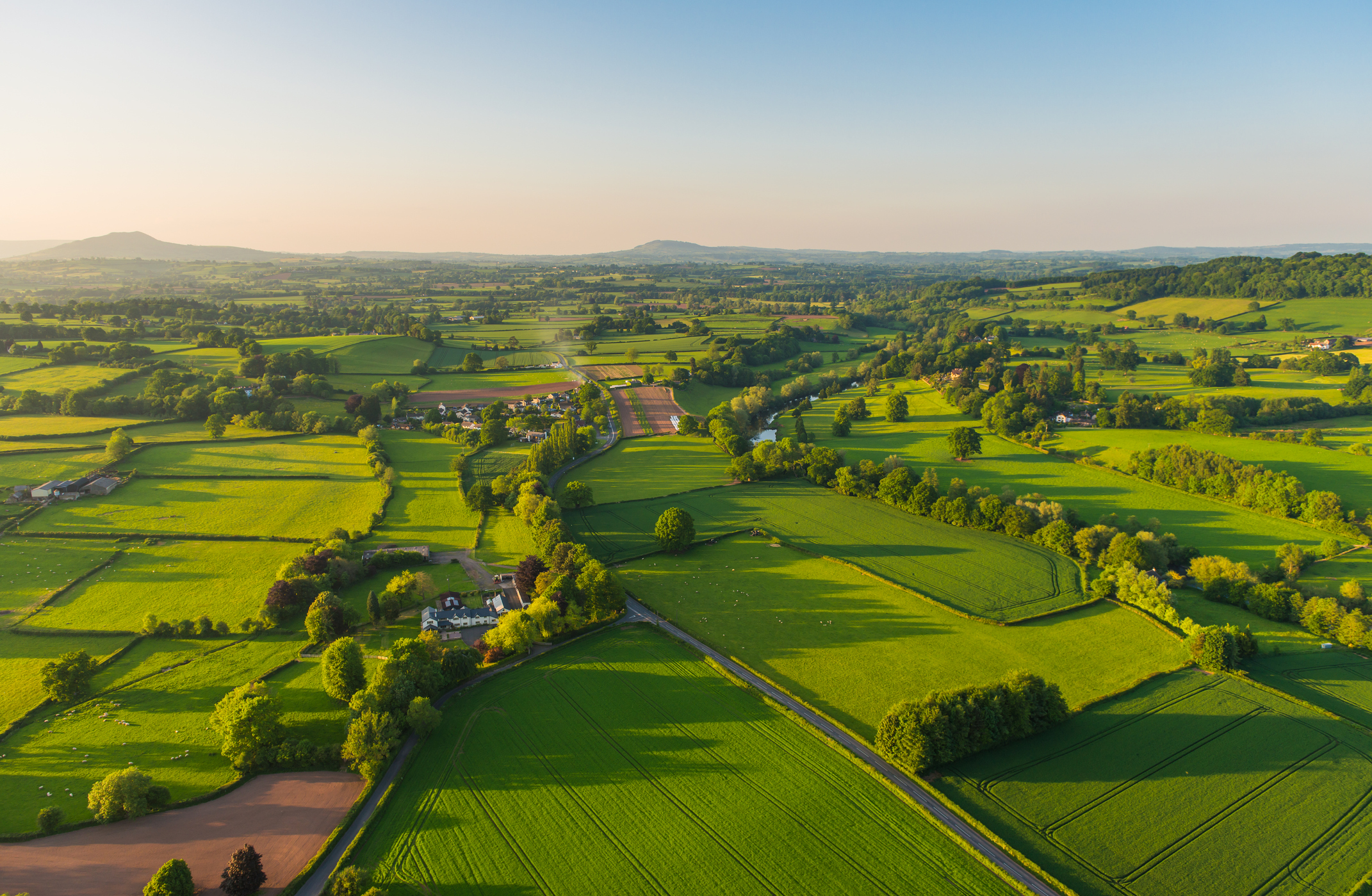
RSK Group
With an Enterprise Licence Agreement, we are expanding access to advanced GIS capabilities across more than 200 businesses and optimising our use of ArcGIS.
Continue Reading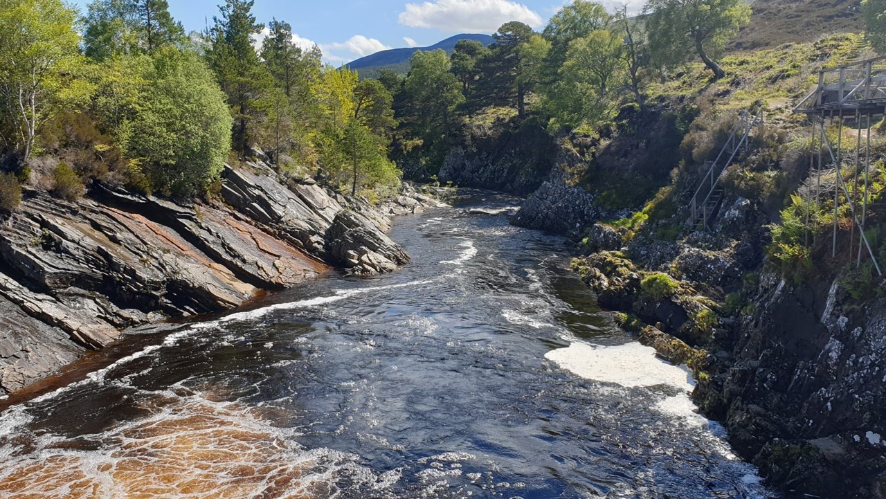
Scottish Fisheries
We are creating data and insights that didn’t exist before to help fisheries organisations work together to improve wild salmon habitats
Continue Reading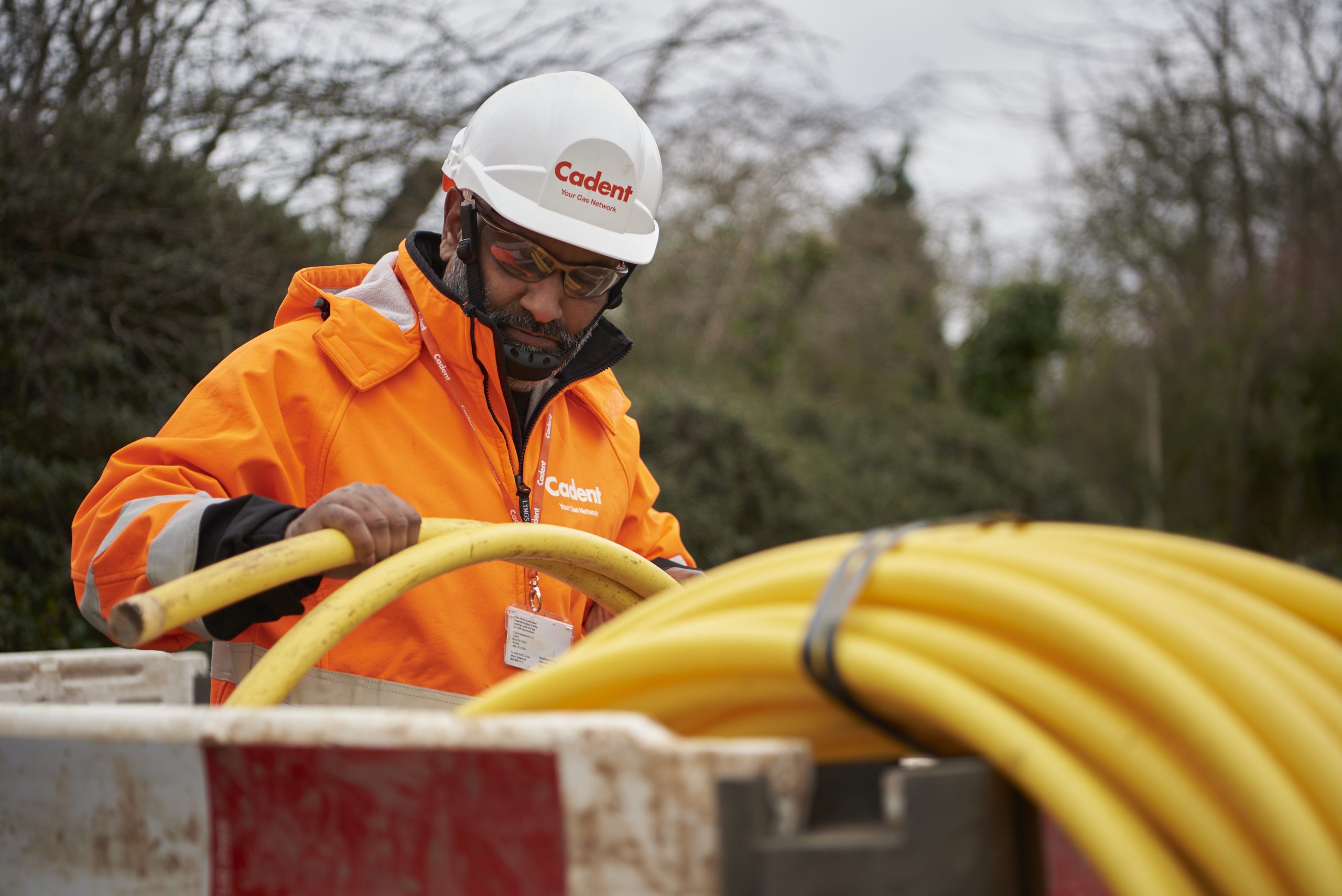
Cadent
We are successfully detecting, locating and reducing methane emissions with a solution built with ArcGIS Online.
Continue Reading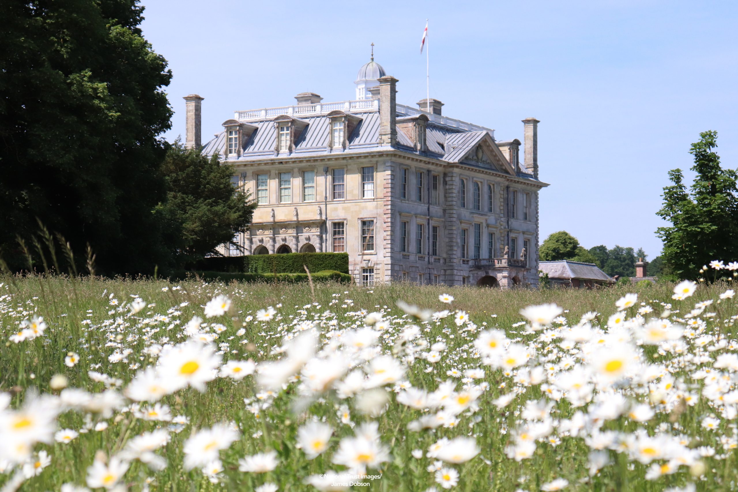
National Trust
After a decade of ArcGIS use, we can confidently say that GIS is enabling us to achieve our strategic goals, take action for climate change and make special places accessible to everyone, for ever.
Continue Reading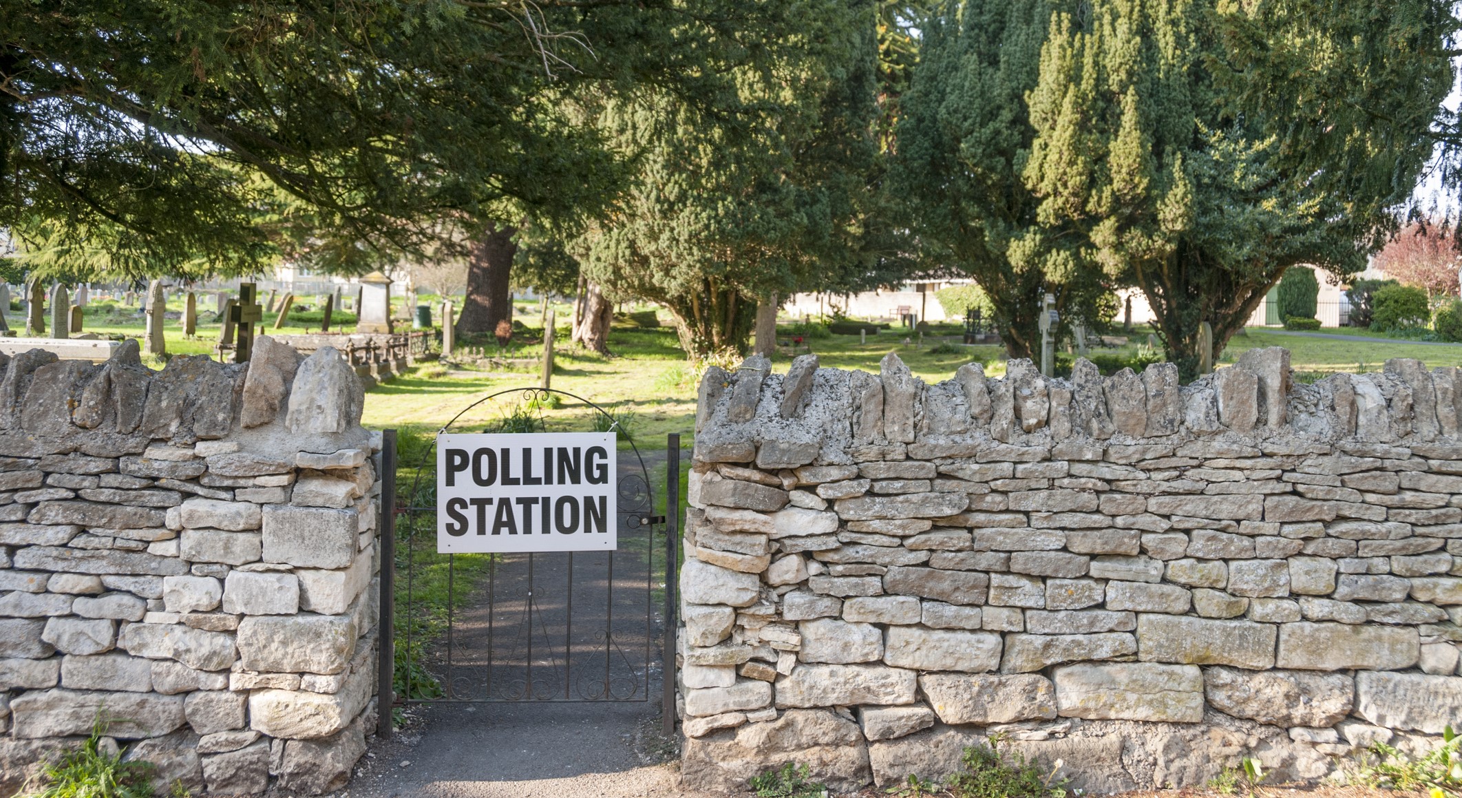
Local Government Boundary Commission for England
Sweet for ArcGIS is making a fundamental difference to how the Local Government Boundary Commission for England works, driving improved accuracy and substantial effiencies.
Continue Reading