Tag Archives: Habitat
RSPB
Using Esri’s Drone2Map we can now fully optimise our drone imagery and use it more effectively to help us restore vital habitats and protect vulnerable species of birds and other wildlife.
Continue Reading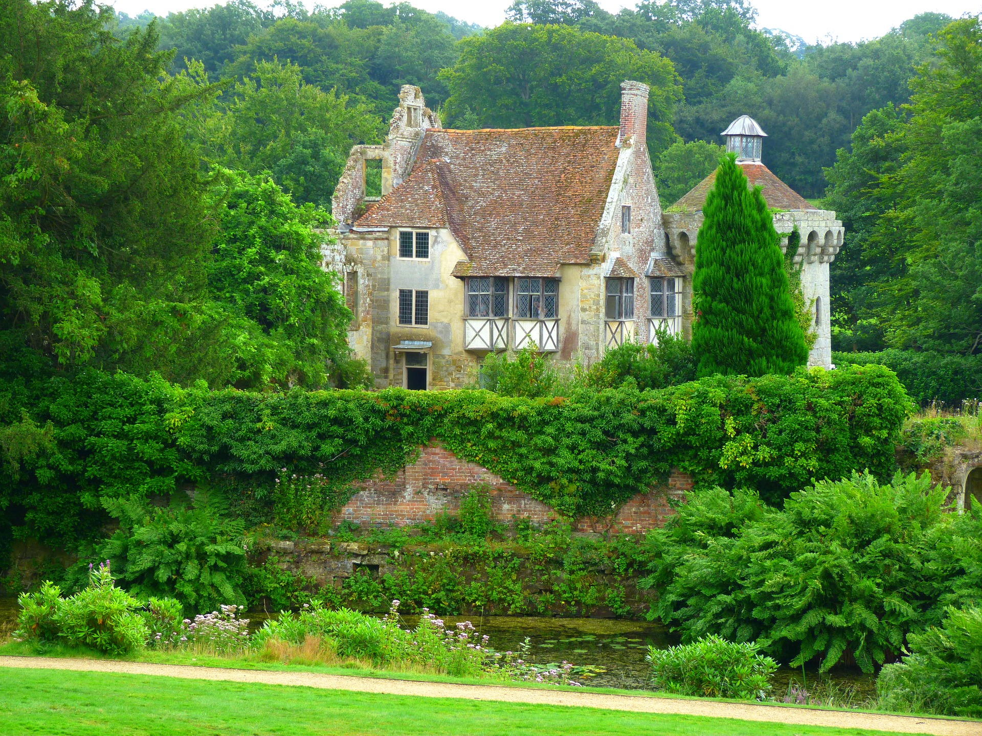
National Trust
By giving us both evidence and insight, ArcGIS is helping us to enrich the biodiversity of England, Wales and Northern Ireland
Continue Reading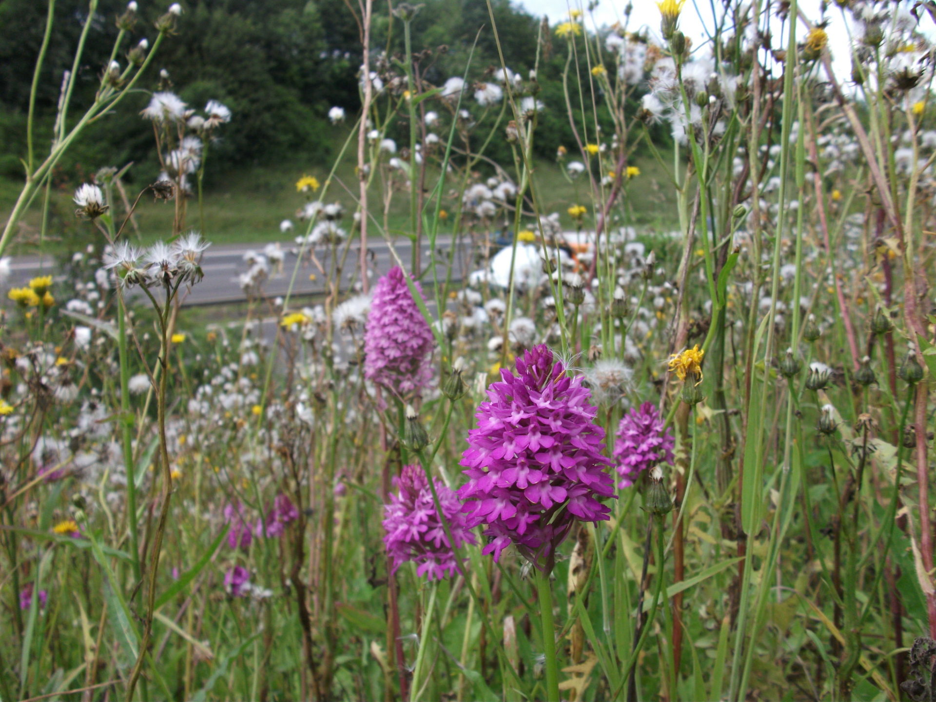
Connect Plus Services
We use ArcGIS to conserve some of Britain’s protected species within the grass verges of the M25 and by using collector app we now operate more cost effectively.
Continue Reading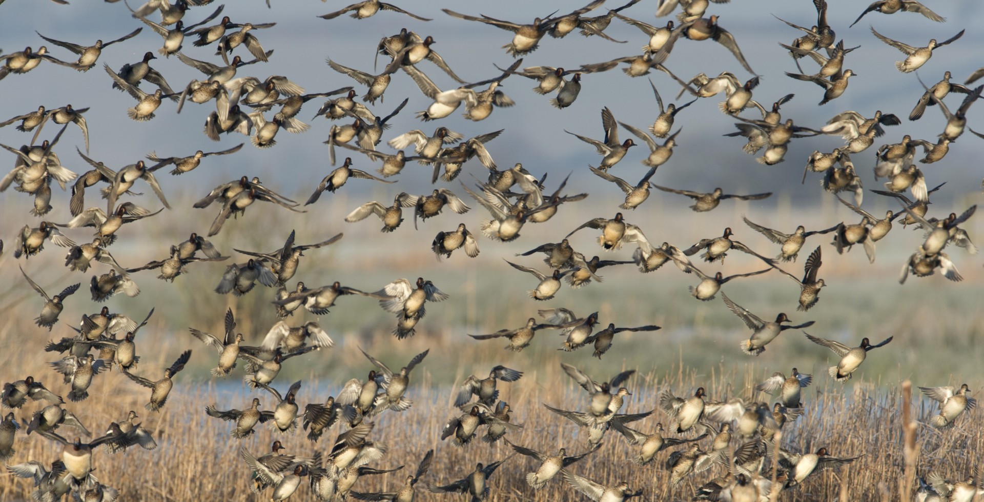
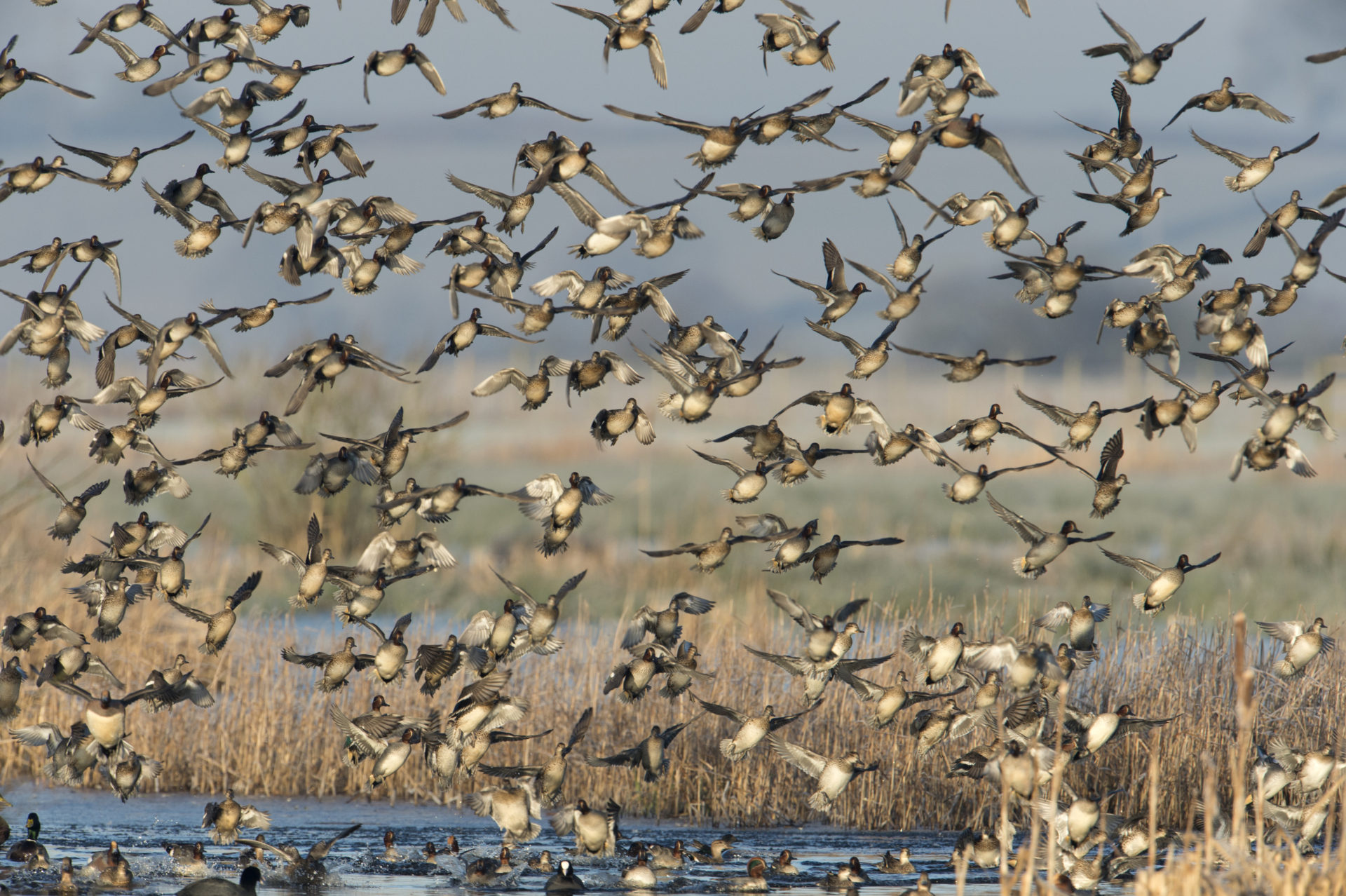
The RSPB
Having an embedded product specialist from Esri UK work alongside our team has helped us to make far greater use of ArcGIS for our conservation and fundraising activities
Continue Reading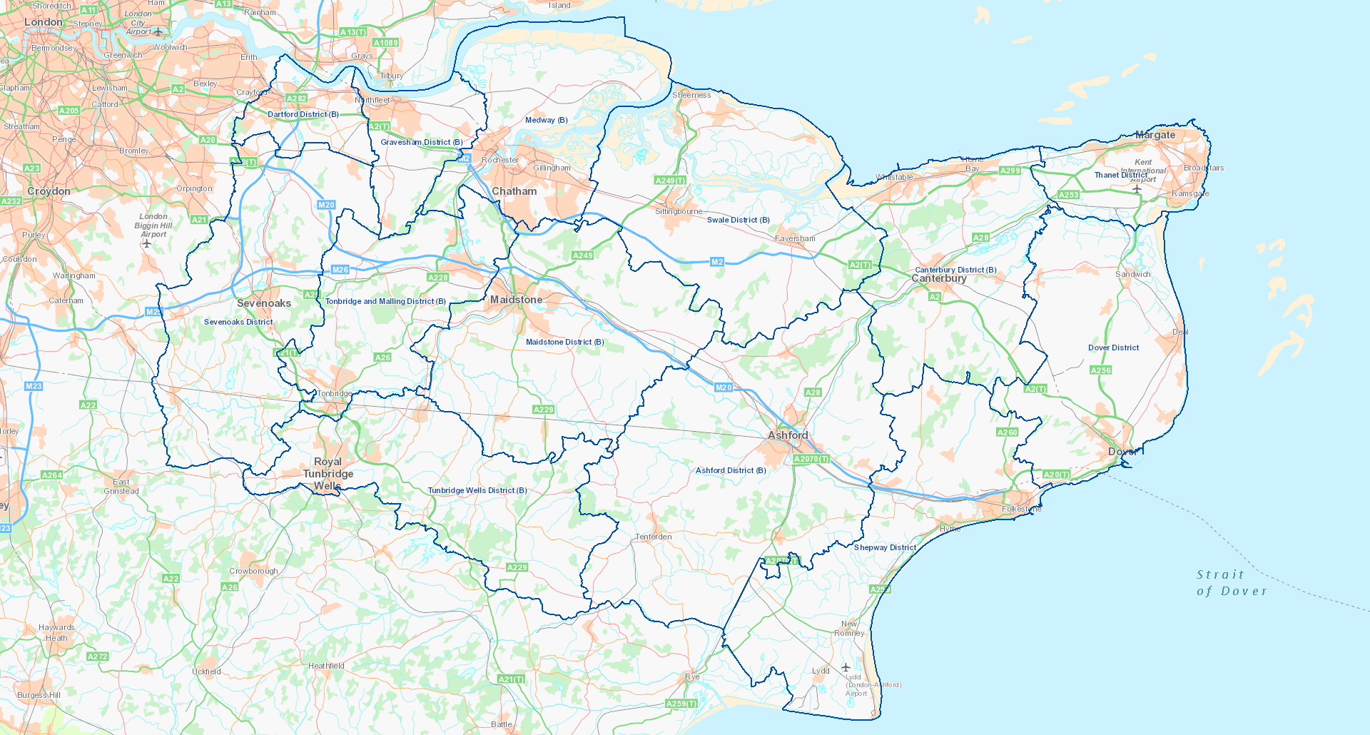
Kent County Council
ArcGIS is used to facilitate the collection of biodiversity data, analyse survey findings and then publish information online.
Continue Reading