Tag Archives: Police

Police Scotland
We transformed a paper-based process into an efficient and robust digital workflow to enable us to keep visitors and the citizens of Glasgow safe during COP26.
Continue Reading
City of London Police
With improved insight into where the majority of crimes occur and the locations of the most harmful crimes, City of London Police can optimise its allocation of resources and prevent more crimes.
Continue Reading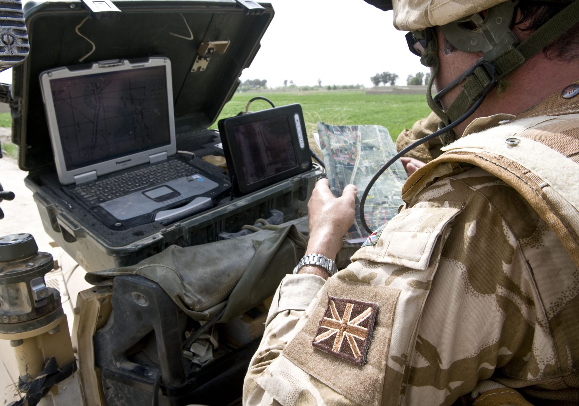
Royal Engineers
Esri’s ArcGIS software has been embedded into an engineering planning and control system, used by the Royal Engineers to help it build bridges, manage minefields and arrange demolitions in combat zones. GIS helps teams to complete tasks more quickly and make better decisions.
Continue ReadingCrime Analysis in ArcGIS Pro
Back in June came the exciting news that Crime Analysis is available for ArcGIS Pro 2.2. But what exactly does this extension do and why is it useful to anyone - crime analyst or not?
Continue Reading
Avon & Somerset Constabulary
When we put our police and community liaison officers on the beat, we can be confident that our beats have been designed effectively to best meet the needs of the people we serve.
Continue Reading
Worcestershire Community Safety Partnerships
ArcGIS makes it easy for us to collaborate with our partners to share data and create web maps. Understanding where to focus our resources is helping to reduce crime.
Continue Reading
Scottish Violence Reduction Unit
GIS is incorporated into military training exercise, teaching students how to plan strategically and make fast decisions in critical situations
Continue Reading
Cheshire, Warrington and Halton Info Consortium
Our partners upload their data into ArcGIS once and make it available for everyone to analyse and share crime prevention strategies.
Continue Reading