Tag Archives: Surveys
Exciting New Capabilities of Survey123
With the release of Survey123 version 3.6, many new capabilities and enhancements were added to help you build smart forms. This blog will show you some of these exciting capabilities. If you aren’t familiar with Survey123, this introductory blog will … Continue reading <
Continue ReadingOur 1-2-3 guide to Survey123
Survey123 for ArcGIS uses simple and intuitive forms that allow you to collect field data easily. It basically lets you create, share, and analyse your surveys. Survey123 is already popular with users in public health, education, public works, resource management, … Continue reading
Continue Reading
1st (United Kingdom) Division
ArcGIS has allowed us to work more efficiently, in an austere environment, to facilitate enhanced data collection.
Continue ReadingMines Advisory Group
ArcGIS is helping us to save lives and build better futures for communities living with the threat of danger from landmines and other unexploded ordnance
Continue Reading
Loch Lomond
Using ArcGIS apps on tablets and smartphones, our rangers and specialists can collect more accurate data in the park to inform our vital conservation and maintenance programmes
Continue Reading
Fera Science
We can deliver cutting edge services to our clients by enabling them to analyse drone imagery in a new web app that helps them to make decisions about agricultural yield and land management.
Continue Reading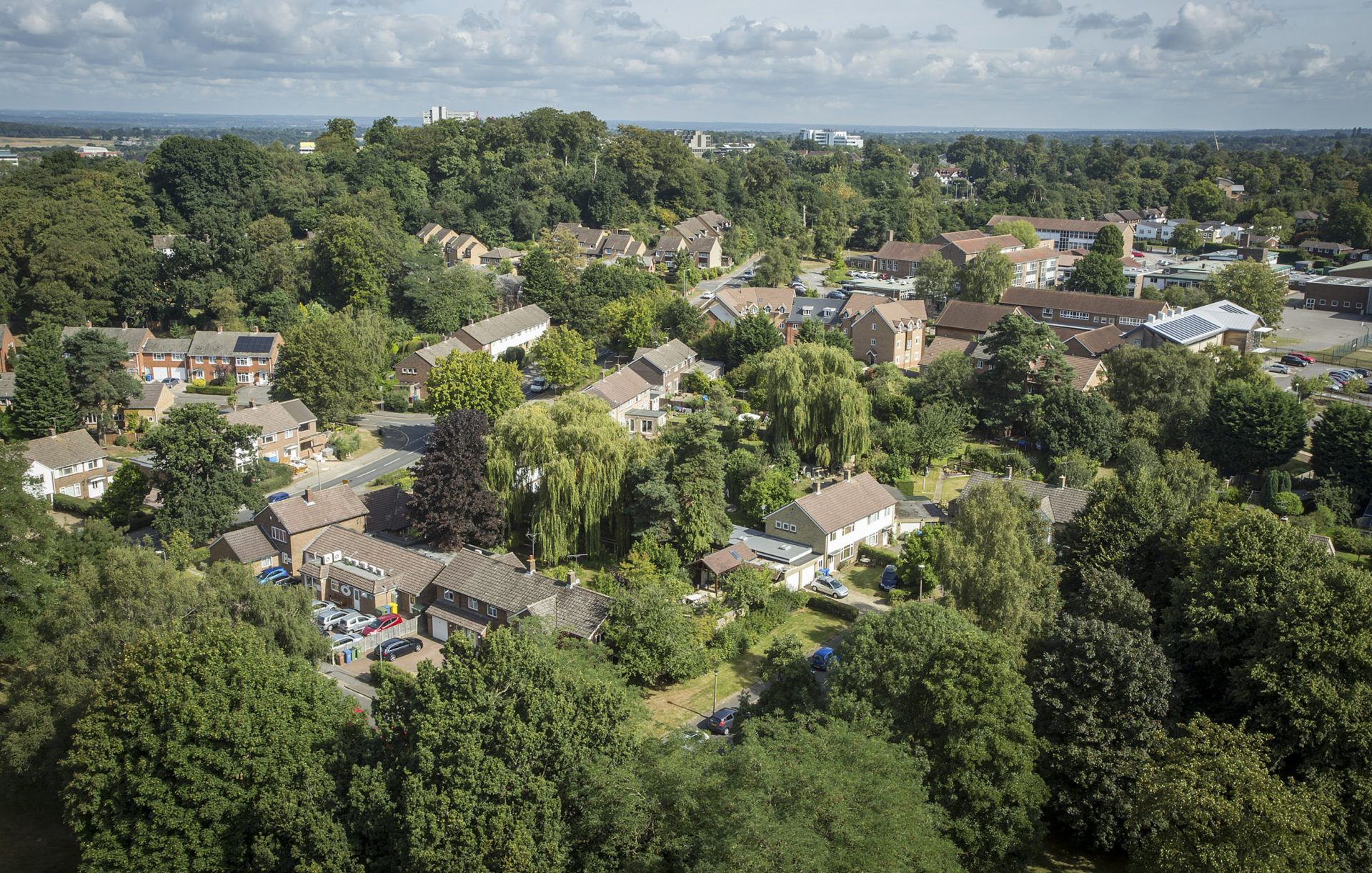
Silva Homes
We have enhanced core business processes such as tree surveys, anti-social behaviour and under occupancy using ArcGIS to support our company vision and transform lives, homes and communities
Continue Reading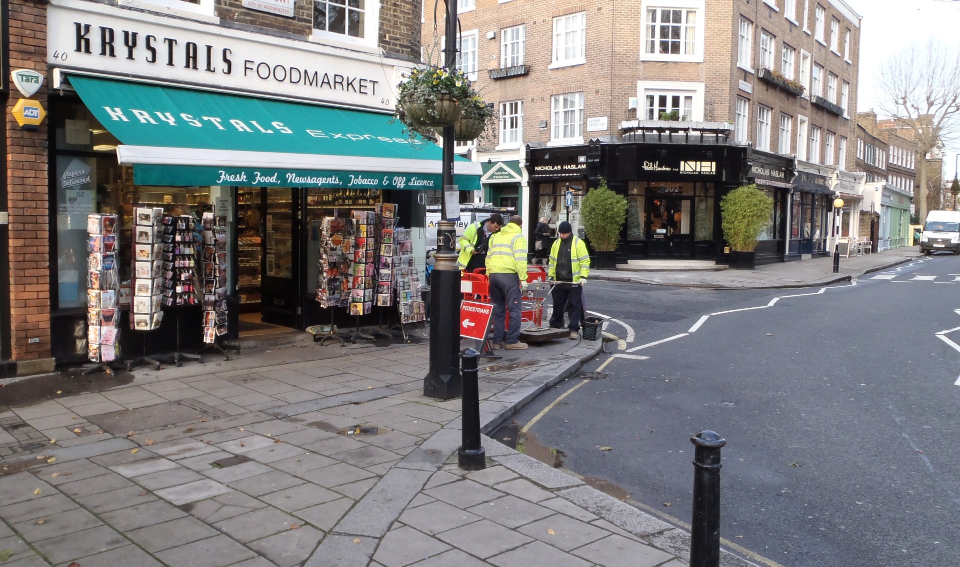
Black & Veatch
The use of mobile GIS to locate and photograph electrical pits has enabled us to deliver a project in weeks that might otherwise have taken years.
Continue Reading
Westminster City Council
ArcGIS Collector App has contributed to cost efficiency savings. We surveyed 17% more sites, with a 20% smaller team, in nearly half the time.
Continue Reading
Maritime and Coastguard Agency
The ArcGIS platform is used to analyse multiple datasets to create accurate estimates for survey work and manage contracts more tightly
Continue Reading