Tag Archives: ArcGIS Experience Builder
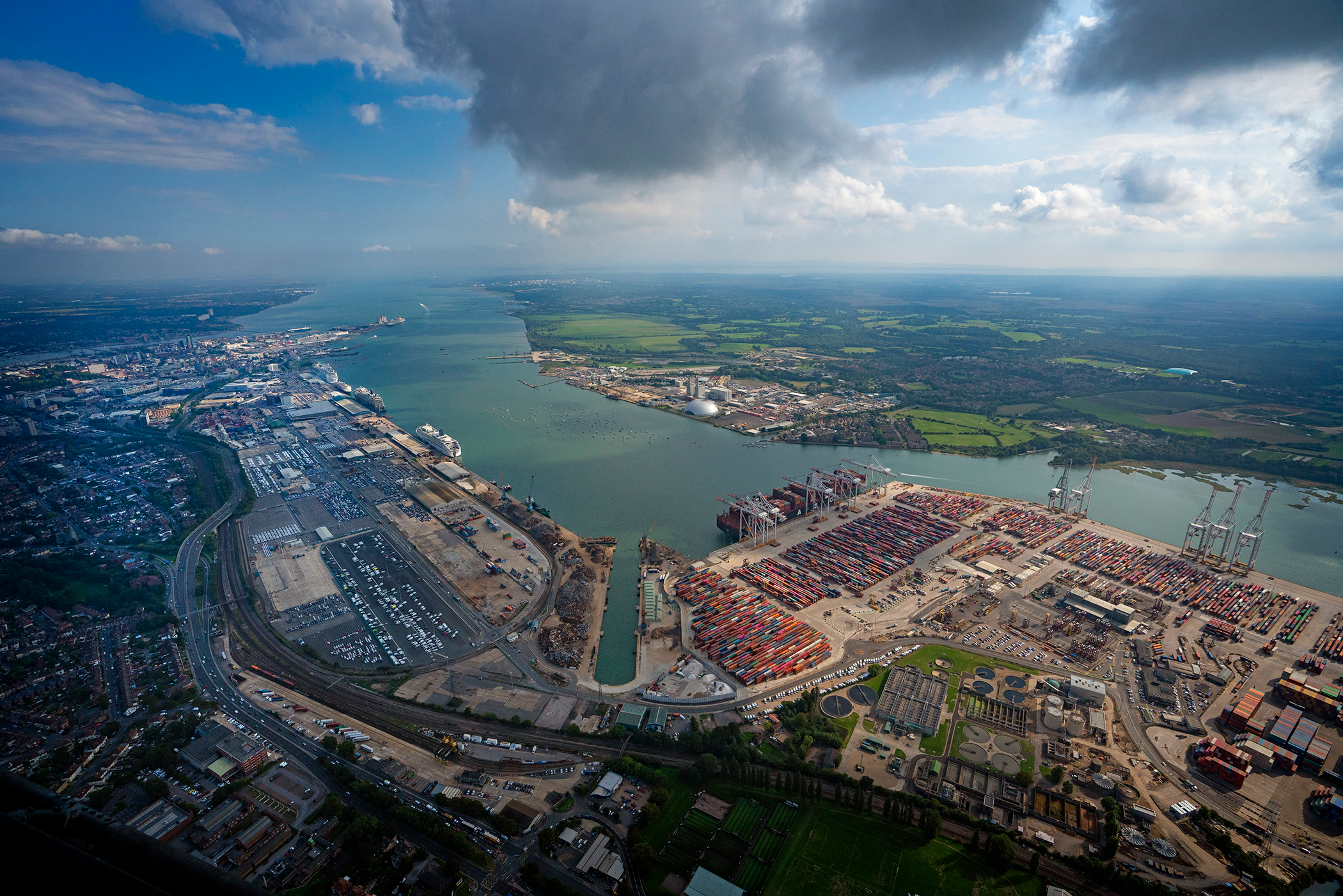
Associated British Ports
With GIS at its heart we have launched a location-aware, end-to-end digitised solution to onboard our electricity customers using ArcGIS Survey123 and ArcGIS Online.
Continue Reading
British Geological Survey
Council teams and contractors use our new ArcGIS tool to assess coal mine gas risks more quickly and precisely.
Continue Reading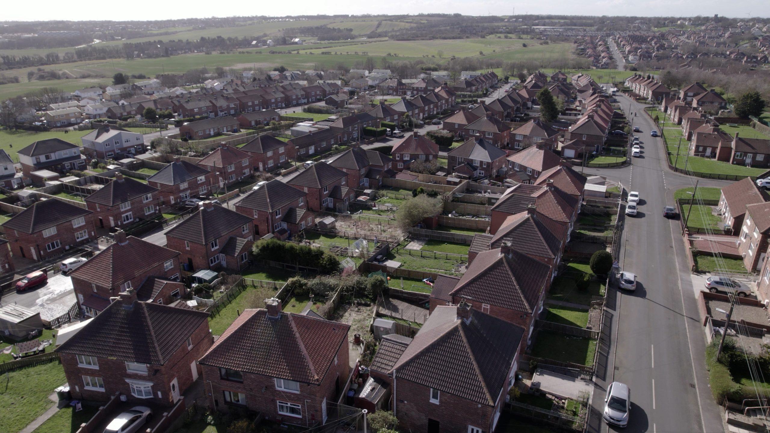
SHINE
Housing associations in North East England are using ArcGIS to share data, collaborate more effectively and deliver cost-effective services for tenants.
Continue Reading
Natural England
Having identified the need for a digital spatially led approach we have developed a solution using ArcGIS Field Maps, ArcGIS Survey123, ArcGIS Experience Builder and ArcGIS Dashboards that is helping our advisors perform their jobs more efficiently.
Continue Reading
Jersey Electricity
We have transformed decades-old, hand-drawn network diagrams into a live digital map of all our network assets.
Continue Reading
South Woodford Society
An ArcGIS web map provides an effective way for residents, local businesses, developers and planning officials to collaborate on plans to improve South Woodford.
Continue Reading
Sport England
The redevelopment of a pivotal data visualisation and analysis solution in ArcGIS is delivering benefits across the sport sector.
Continue Reading
RSPB
Precious peatland habitats in Wales are being restored to health using a suite of ArcGIS products.
Continue Reading
The Crown Estate
Automated geospatial analysis conducted with ArcGIS provides the evidence we need to inform the future of marine environments up to 2050.
Continue Reading
CBRE
ArcGIS has always been a vital tool for our business. We utilised the capabilities of ArcGIS Enterprise 11.1 to redevelop DataViz, our centralised platform to visualise and analyse geospatial data, helping to provide an even swifter service for our clients.
Continue Reading