Tag Archives: ArcGIS Survey123
Post navigation
ArcGIS update – spring 2025
February saw releases and updates across several parts of the ArcGIS system, so we wanted to provide a summary of all the updated products and share key links so you can find out more. I know it wasn’t quite spring, … Continue reading
Continue Reading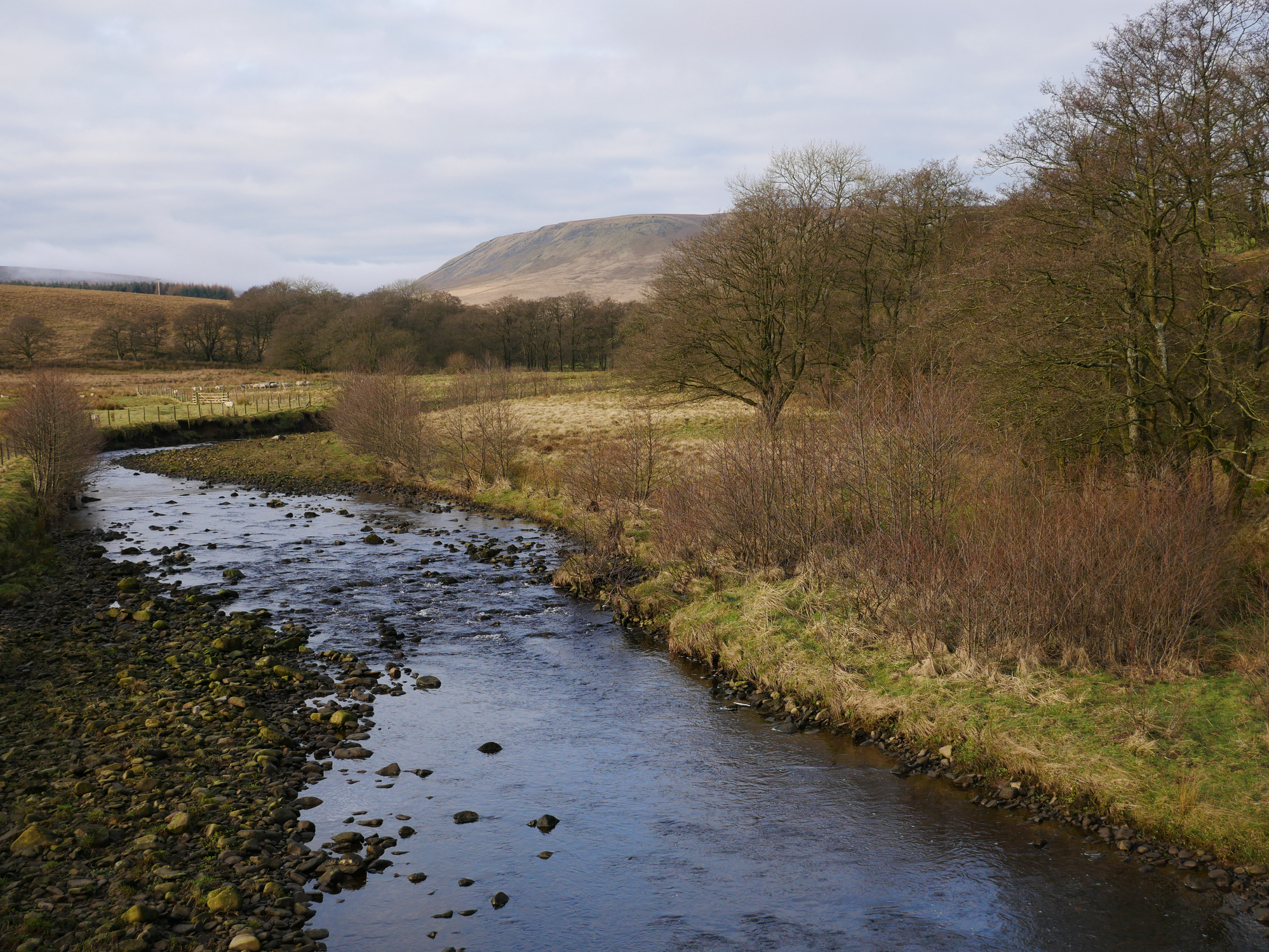
Rivers Trust
Rivers trusts, conservation organisations and community groups use an ArcGIS Hub to map nature-based flood solutions.
Continue Reading
TACP
ArcGIS is embedded into everything we do and supports all aspects of our environmental projects.
Continue Reading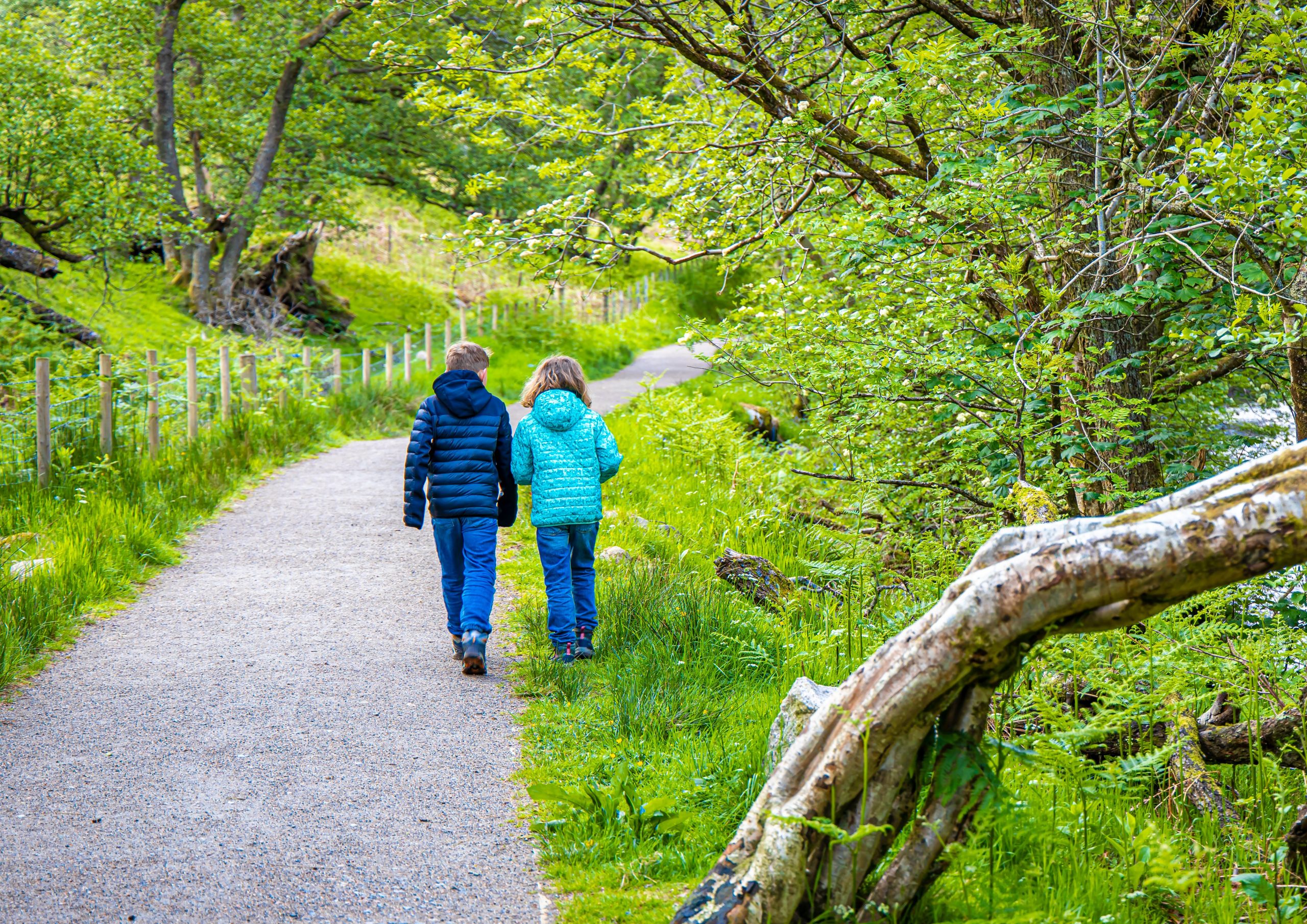
NatureScot
With funding from the Scottish Government, we have created a toolkit of digital solutions to help pupils learn about biodiversity and climate change and take positive action to improve their school grounds for nature.
Continue Reading
Amphibian & Reptile Conservation
Our volunteers are vital to our mission. We need data collected from surveys all over the country, and it must be secure. ArcGIS Hub Premium has delivered this and so much more, helping us generate the insights required to support the conservation of endangered species.
Continue Reading
The University of Warwick
Visualising, understanding and managing a 200-hectare campus is now so much easier with a Digital Campus, built with ArcGIS.
Continue Reading
Fauna & Flora
Creating a single GIS platform for the whole organisation with ArcGIS has led to a 580% increase in GIS usage and transformed the way that we analyse, visualise and communicate conservation priorities.
Continue Reading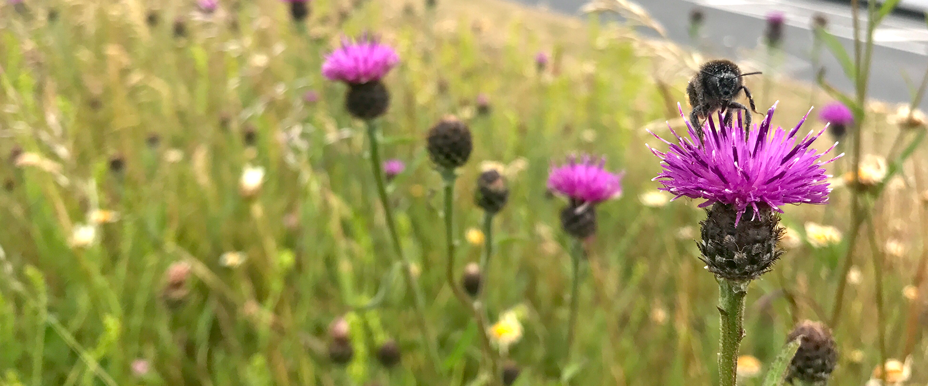
Denbighshire County Council
We are improving biodiversity in North Wales, using mobile apps to help us find, propagate and plant native flowers and trees.
Continue Reading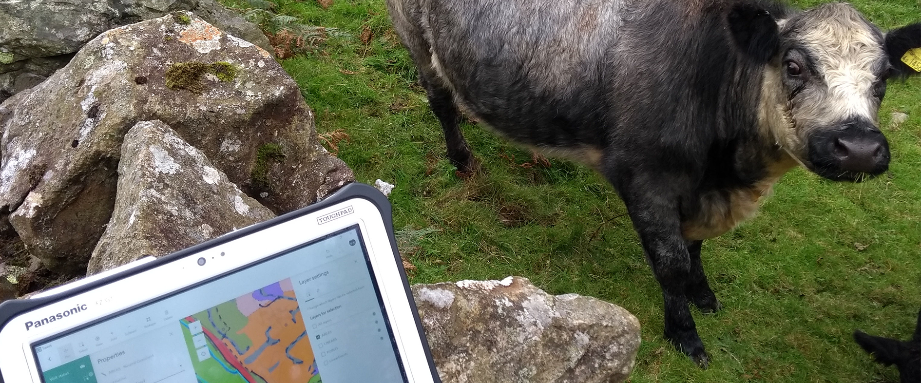
UK Centre for Ecology & Hydrology
From collecting data in the field to managing large-scale, nationwide survey projects, ArcGIS provides us with a highly efficient and accurate digital process for monitoring environmental change.
Continue Reading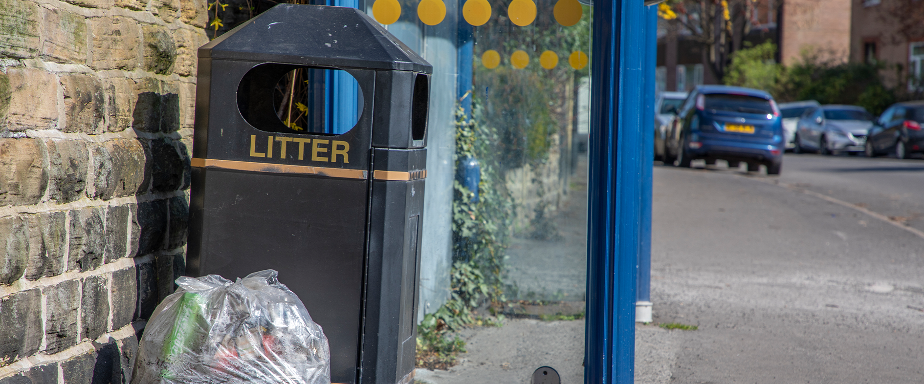
City of Doncaster Council
With real-time, accurate data on litter collections and the condition of bins, we are improving the efficiency, quality and sustainability of our litter services.
Continue Reading