Tag Archives: ArcGIS Survey123
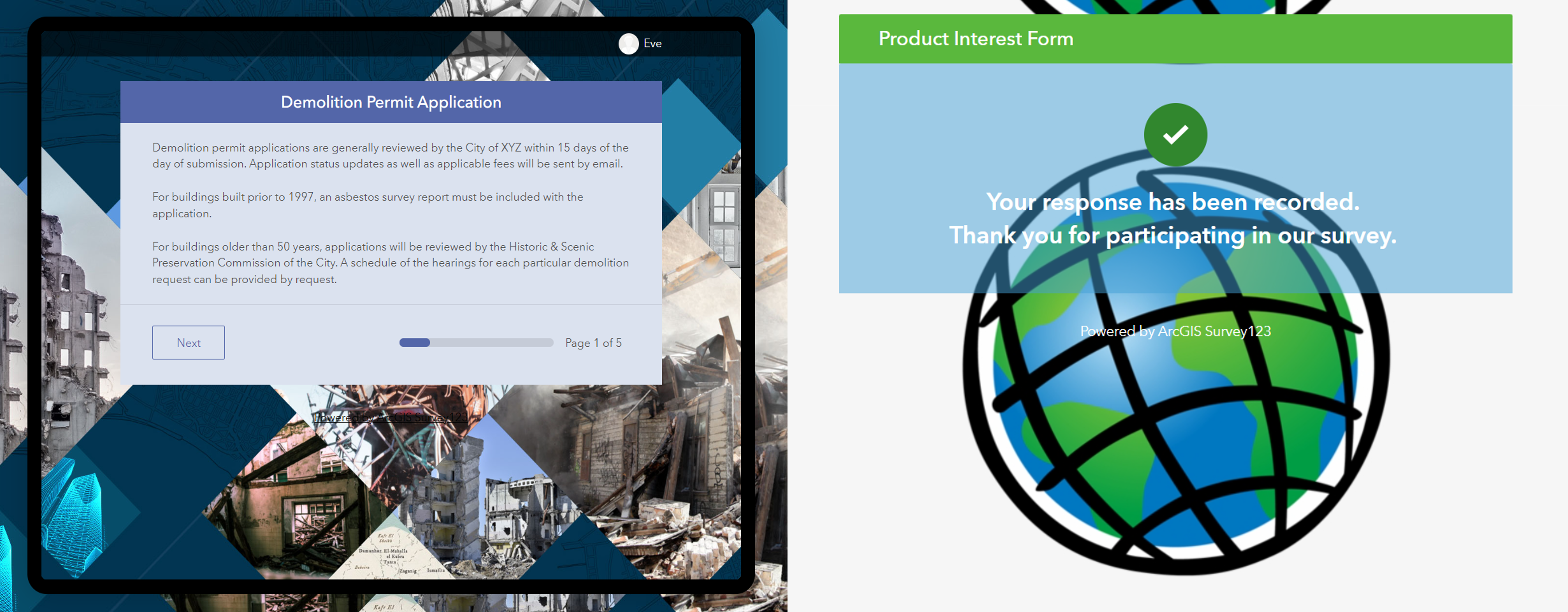
Designing surveys in Survey123: Ditch the default
Building surveys already requires planning to create something that’s easy to fill out for the end user. When you add in the need to brand the form to your organisation’s requirements or factor in efforts to structure it intuitively, it … Continue reading
Continue Reading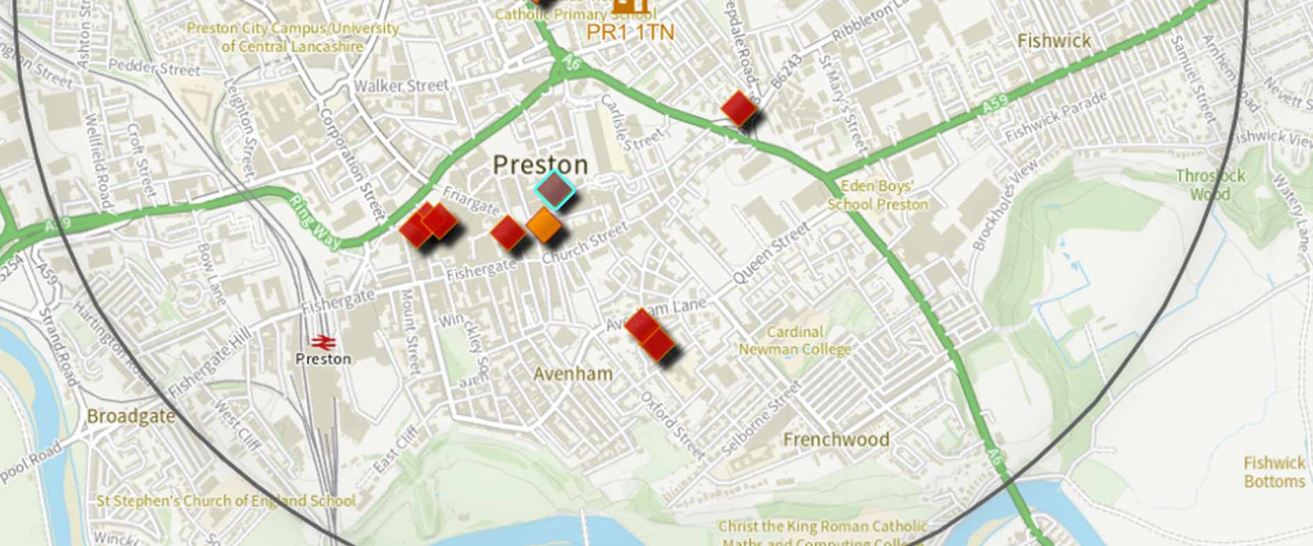
Lancashire County Council
Making the most of all the tools and capabilities of ArcGIS Online, we are delivering innovative digital solutions for Lancashire.
Continue Reading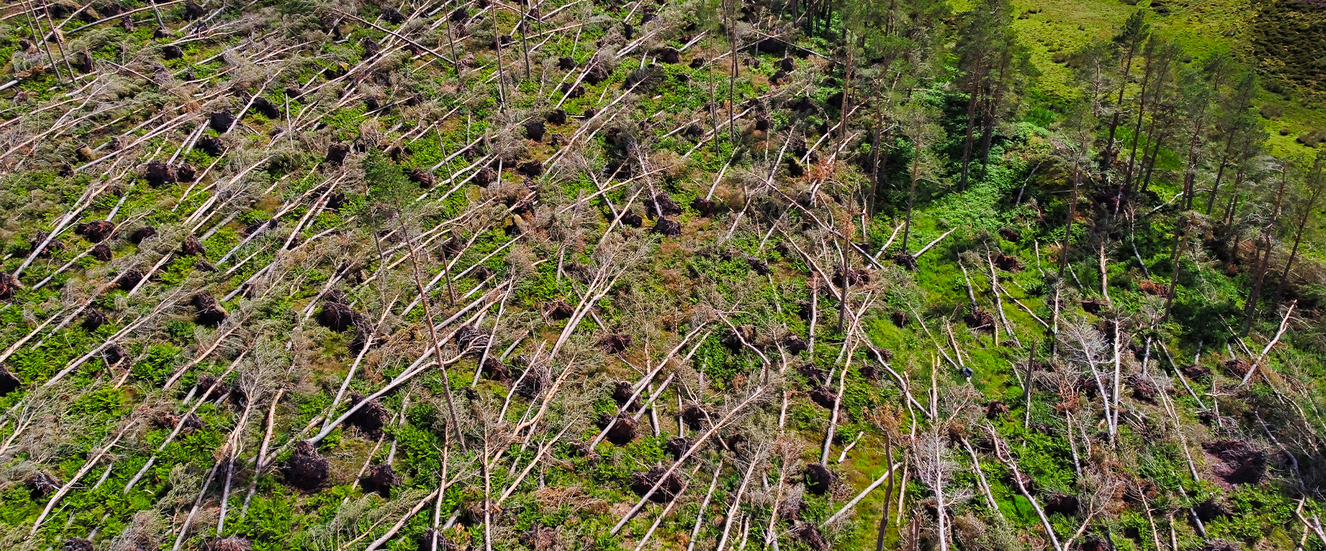
Forest Research
In the aftermath of Storm Arwen, ArcGIS enabled us to engage the help of citizen scientists and accurately assess the devastating impact of this natural disaster on the UK’s forests and woodlands.
Continue Reading
East Lothian Council
Through a highly successful collaboration with EDINA at the University of Edinburgh we are now using ArcGIS and real-time data to support responsible tourism.
Continue Reading