Tag Archives: Environment
Post navigation

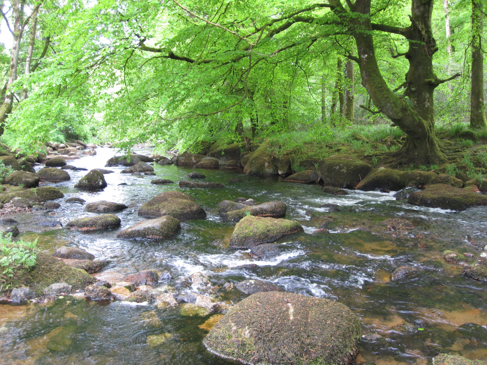
Westcountry Rivers Trust
Working with large groups of diverse stakeholders, we can be more effective in introducing river conservation schemes
Continue Reading
Fera Science
We can deliver cutting edge services to our clients by enabling them to analyse drone imagery in a new web app that helps them to make decisions about agricultural yield and land management.
Continue Reading
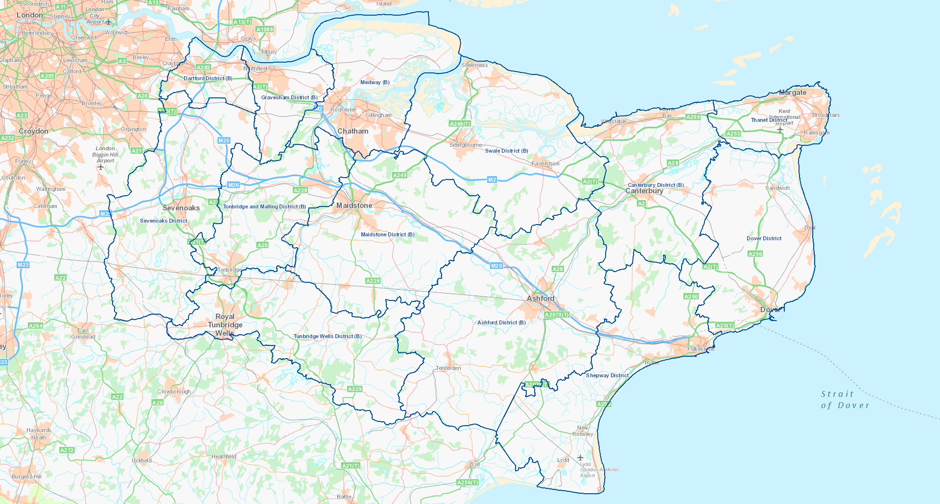
Kent County Council
ArcGIS is used to facilitate the collection of biodiversity data, analyse survey findings and then publish information online.
Continue Reading