Tag Archives: Environment

Environment Agency
ArcGIS allows us to collect, analyse and share real-time information about major incidents and take rapid action to protect people and the environment.
Continue Reading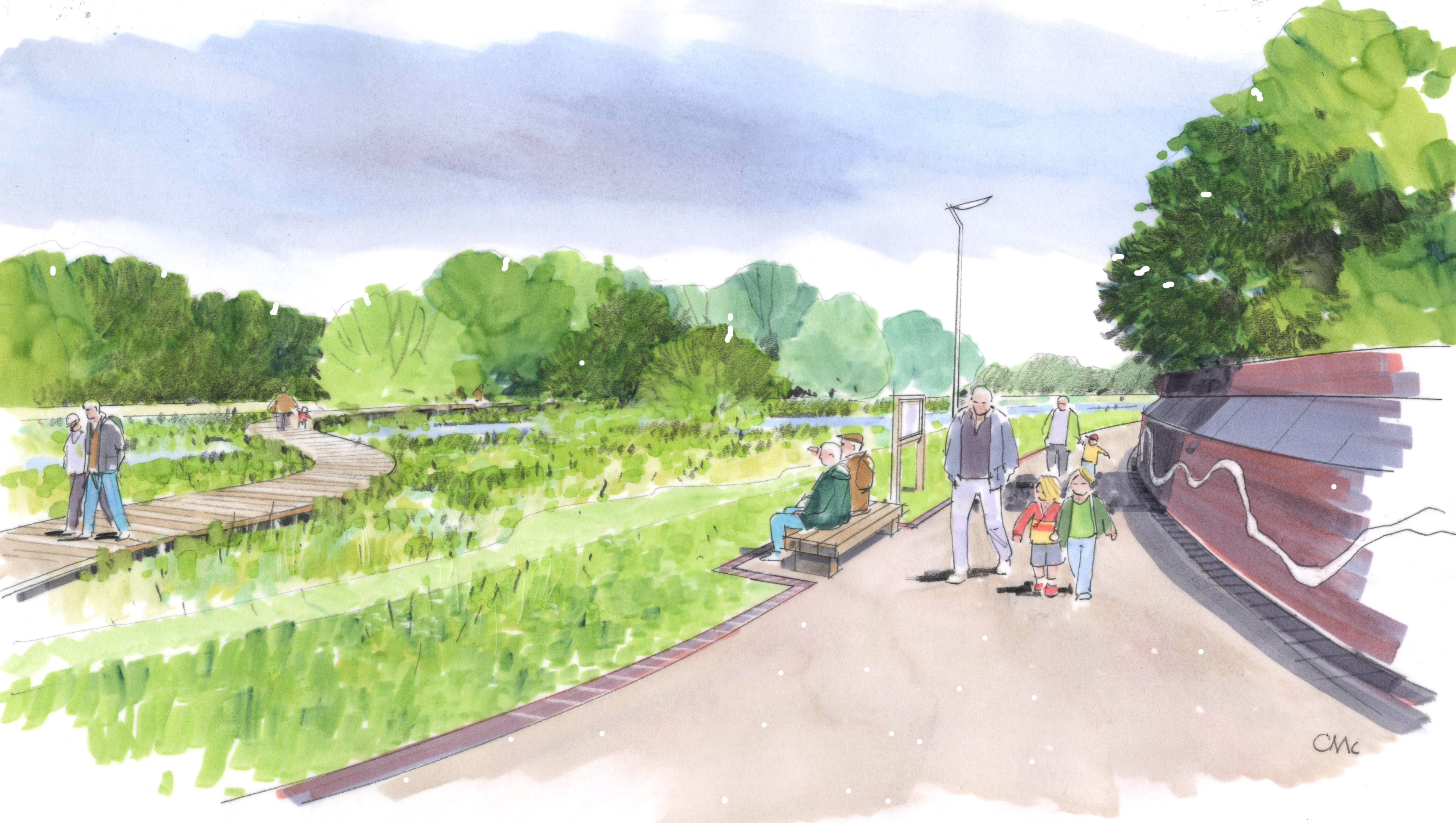
Black & Veatch
We have worked successfully with the Environment Agency and other stakeholders, using ArcGIS to design and share a new vision for the future of the Burton and Trent Washlands.
Continue Reading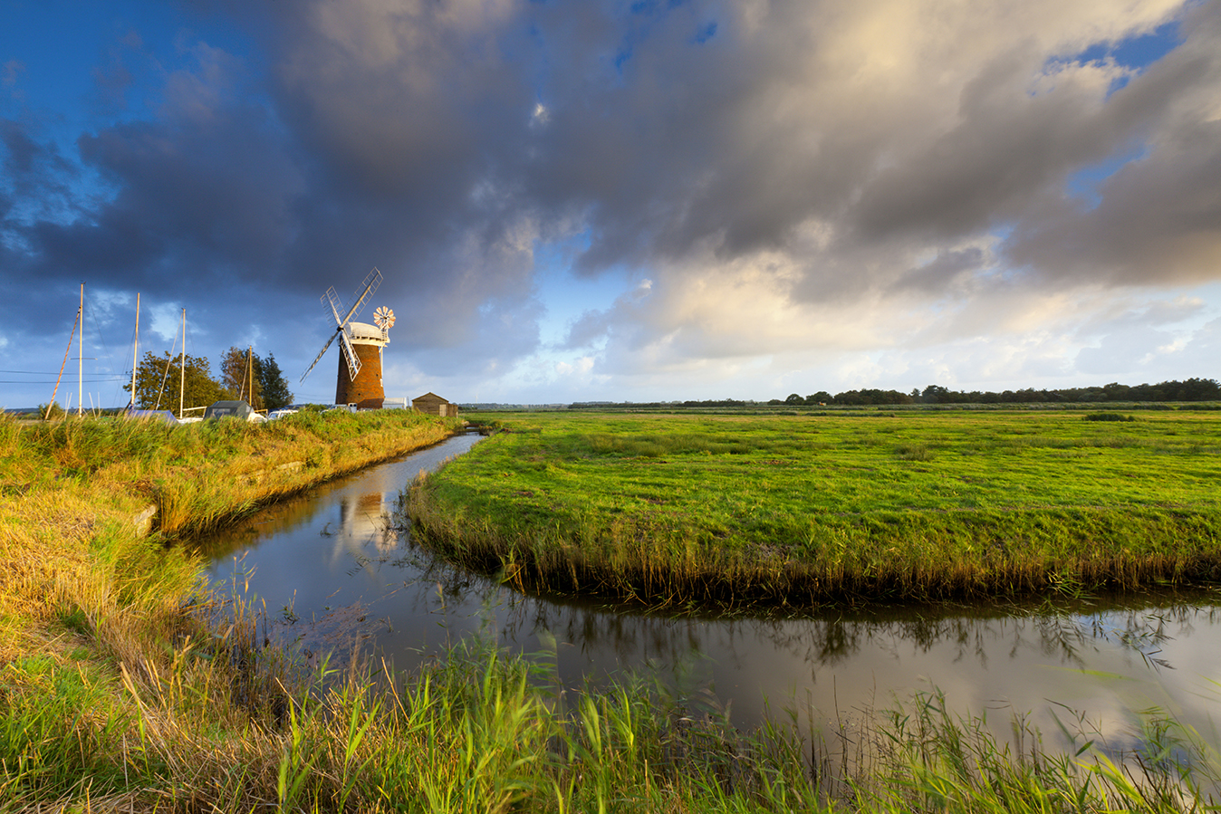
Broads Authority
ArcGIS has enabled us to develop a more efficient, end-to-end process for identifying maintenance requirements, escalating issues and planning repair programmes.
Continue Reading
Northumberland National Park Authority
Members of the public became more engaged in our conservation work and more enthusiastic about exploring the park, after viewing and analysing our geospatial data using ArcGIS.
Continue Reading
Highways England
We are saving money, creating operational efficiencies and delivering better customer experiences by using ArcGIS to share information between teams.
Continue Reading
Dublin Airport
Our expanding use of ArcGIS throughout Dublin Airport is helping us to operate efficiently, improve the management of airfield risks, comply with aviation industry regulations and make better informed decisions to give passengers a safe and positive experience.
Continue Reading
RSPB
Using Esri’s Drone2Map we can now fully optimise our drone imagery and use it more effectively to help us restore vital habitats and protect vulnerable species of birds and other wildlife.
Continue Reading
Scotland’s Coastal Change Assessment
ArcGIS shows Scotland's Coastal Change Assessment not only where coastal change has occurred in Scotland over the last century, and how quickly, but where future changes will occur and which of our infrastructure assets will be at risk.
Continue Reading
Environment Agency
Using ArcGIS, the Environment Agency can now pinpoint high risk locations more quickly, collect evidence via smartphones and operate more efficiently to help improve river water quality.
Continue Reading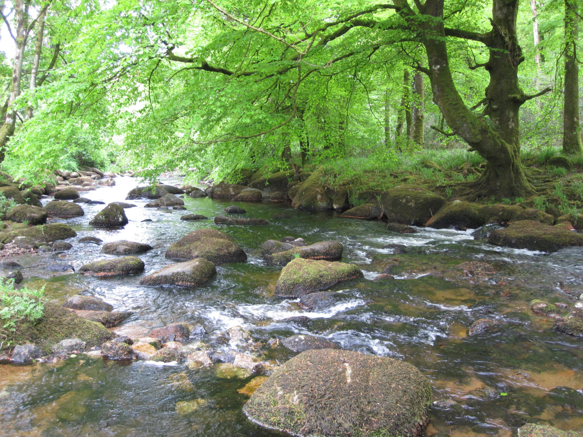
Westcountry Rivers Trust
Working with large groups of diverse stakeholders, we can be more effective in introducing river conservation schemes
Continue Reading