Tag Archives: Environment
Start mapping Biodiversity Net Gain with Sweet for ArcGIS
Many of us at Esri UK love to spend time in and around nature; however, it’s no secret that the biodiversity of the UK has had it rough for many years, facing an especially steep decline since the industrial revolution. … Continue reading
Continue ReadingYour winter update on ArcGIS Living Atlas of the World
What better way to start off the New Year than by catching up with the latest updates in ArcGIS Living Atlas of the World? In the last blog, I shared with you some of the new and noteworthy contributions from … Continue reading
Continue ReadingAre you missing the Living Atlas global datasets that cover the UK?
There are a wealth of datasets within the UK in the Living Atlas, prime for use by the GIS community. However, always filtering by the UK we may miss out on curated global datasets. Familiar global datasets include things like … Continue reading

HS2
We are making information about HS2 Phase 2b easier to find, explore and understand by publishing an online story map.
Continue Reading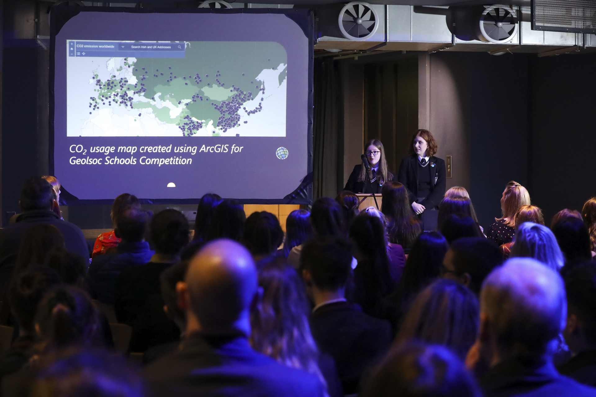
Methodist College Belfast
Students use ArcGIS to evaluate the environmental, economic and social impacts of renewable and non-renewable energy sources
Continue Reading
St Conleth’s Community College
Students of all abilities at Saint Conleth's Community College are developing important life skills through the use of ArcGIS.
Continue Reading
St Kevin’s College
Students use ArcGIS to analyse data and make informed decisions and deliver effective presentations using ArcGIS Story Maps
Continue Reading
Presentation College Headford
Using ArcGIS and creating Story Maps helps our students to develop research skills and gives them experience of using different types of maps at different scales. It also encourages them to think about how information is communicated and improve their presentation skills.
Continue Reading
Crowther Lab
Interactive maps enable us to communicate the Lab’s findings with a broad community, so they can learn something new and make the right decisions.
Continue Reading
Flagship Group
When tenants, members of the public or employees report issues with trees on our land, we can respond quickly and effectively to ensure public safety.
Continue Reading