Tag Archives: Apps
Never miss bin day again with ArcGIS Instant Apps
ArcGIS Instant Apps is a fantastic way of providing members of the public with the latest information. Are you a utility company that needs to provide service updates to customers, or a local council needing to inform their constituents of … Continue reading
Continue Reading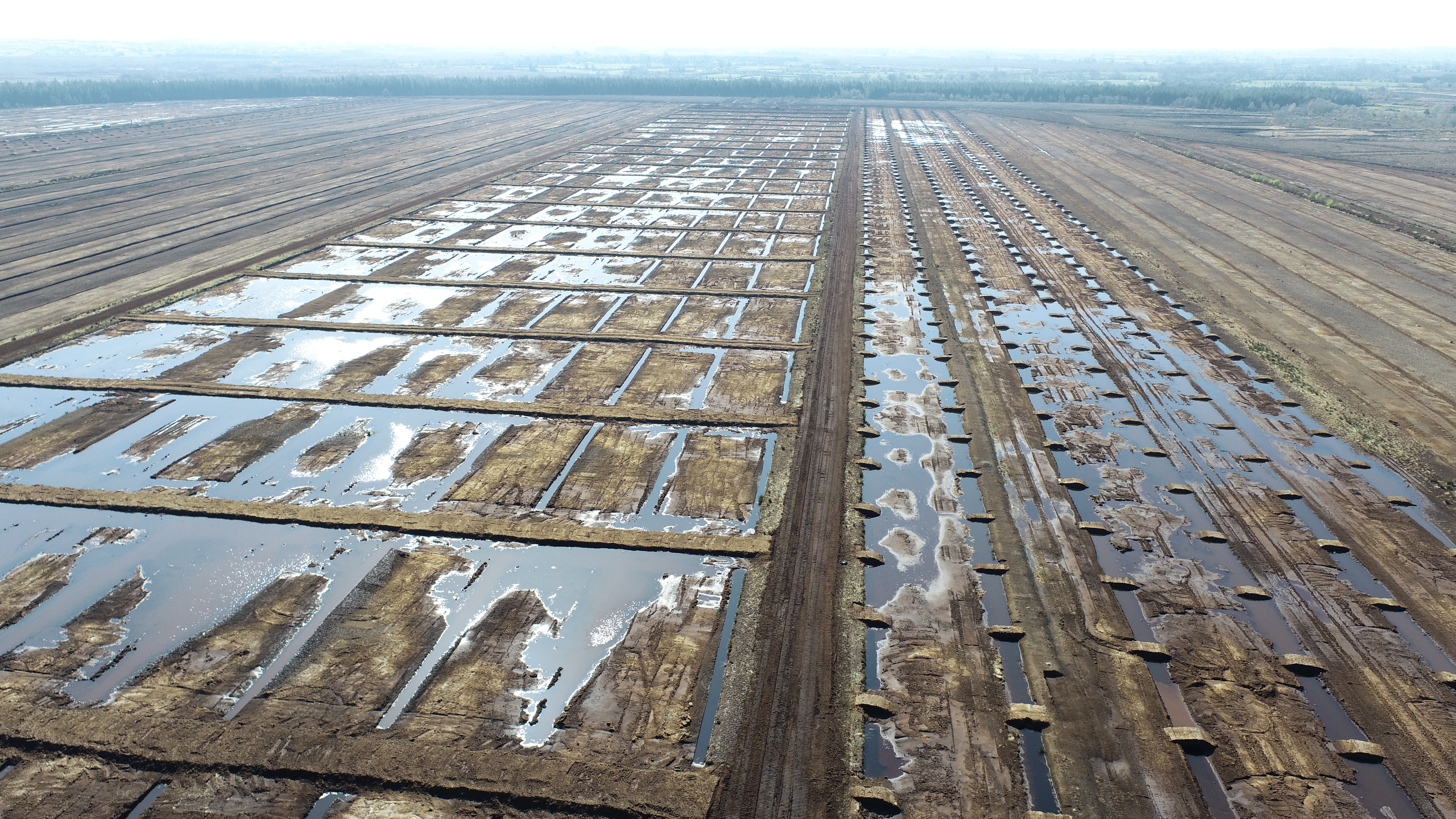
Bord na Móna
We have invested in ArcGIS within the field and on our desktops to inspect contractors' work, track quality control trends and contribute to the success of government energy-saving programmes.
Continue ReadingGetting started with ArcGIS Experience Builder
ArcGIS Experience Builder has been floating around as a product for a while now, with its long list of amazing features and the endless possibilities they create. It’s a wonderful product when you wrap your head around it, but perhaps … Continue reading
Continue Reading
KSN Energy
We have invested in ArcGIS within the field and on our desktops to inspect contractors' work, track quality control trends and contribute to the success of government energy-saving programmes.
Continue Reading
Department of Agriculture, Environment and Rural Affairs
The veterinary process for investigating and managing TB in Northern Ireland is now significantly more efficient, enabling DAERA to provide a high quality service for farmers.
Continue ReadingWhat’s new in ArcGIS Field Maps?
Can you believe it? ArcGIS Field Maps have been publicly available for almost nine months now! During that time, there have been three major releases with lots of brand-new features packed in. This blog aims to showcase the best of … Continue reading
Continue Reading
Business2Schools
As a charity, we rely on ArcGIS to help us allocate and deliver donated laptops, technology and office furniture to schools all around the country.
Continue Reading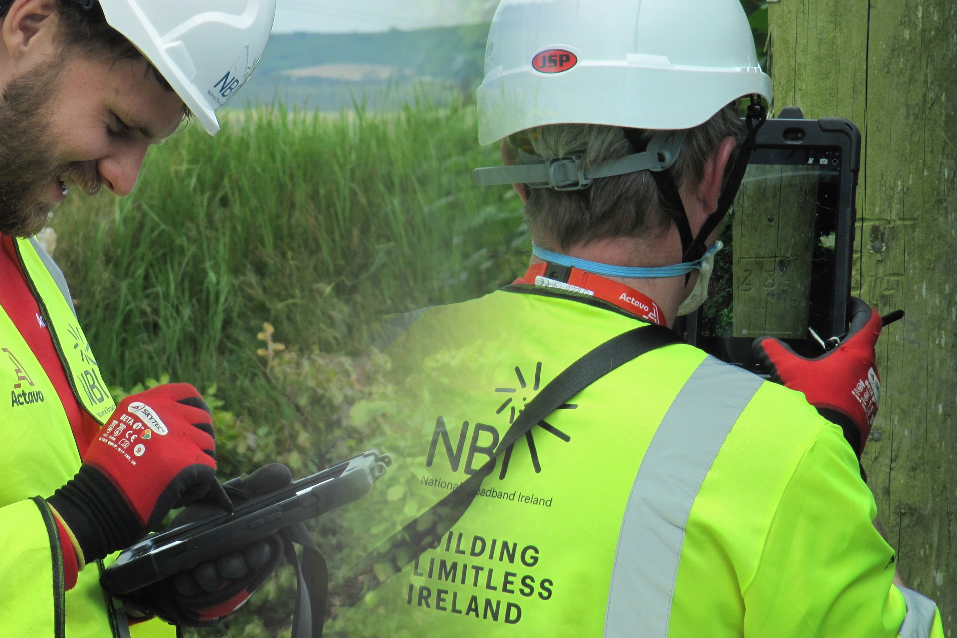
Actavo
ArcGIS is the pivotal technology enabling us to design a high-speed fibre broadband network that will help to deliver connectivity to 1.1 million people in rural Ireland.
Continue ReadingNew App: Field Maps
It’s always exciting when a new app comes to the platform, particularly when it promises the functionality of five existing apps merged into one neatly packaged mobile app. If you hadn’t gathered from the title, the new app is called … Continue reading
Continue ReadingQuick update on QuickCapture
QuickCapture is Esri’s solution for rapid data collection within the field. It provides a streamlined experience for making quick, on the fly field recordings at the click of a big button. Most field workers loathe the experience of doing field … Continue reading
Continue Reading