Tag Archives: ArcGIS Enterprise
Data security and privacy – user responsibilities in ArcGIS
In today’s data-driven world, organisations are often handling a lot of sensitive information – from customer records to critical infrastructure data. With increasing regulatory pressures and cyber threats, it’s critical you hold strong data security and privacy practices for maintaining … Continue Reading
Tips for creating hosted feature layer views
Hosted feature layer views are a powerful way to manage and share data in ArcGIS Online. They let you create tailored perspectives on a single dataset – whether that means applying filters, adjusting editor settings, or limiting access to sensitive … Continue reading
Continue Reading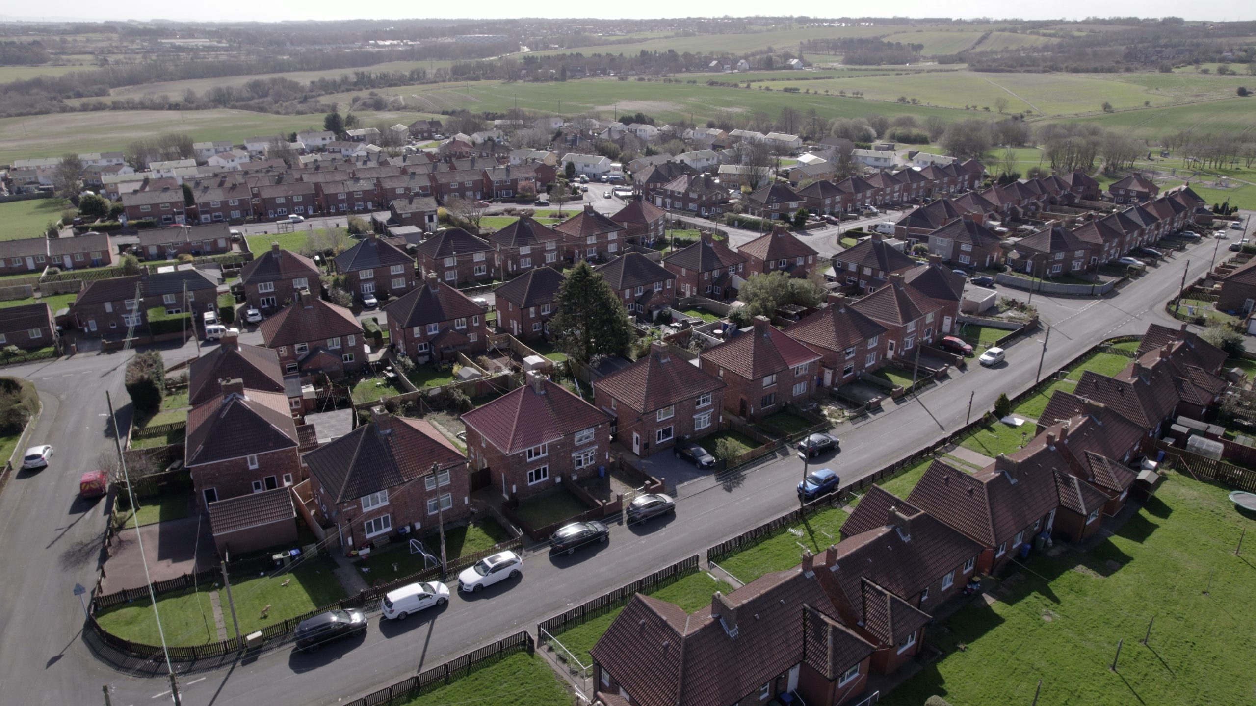
believe housing
By taking an organisation-wide approach to the delivery of GIS we are encouraging cross-directorate collaboration and driving better outcomes for staff and customers.
Continue ReadingA guide to smarter sharing in ArcGIS
Picture this – you have a lovely set of maps, web apps and layers, all ready to go. There’s only one thing standing in your way… sharing your creations. Well, I’ve got some good news. I’m here to guide you … Continue reading
Continue Reading
Wales and West Utilities
By updating our corporate GIS platform, we have improved our operational efficiency and gained the ability to build new apps quickly to meet future business needs.
Continue Reading
Oxfordshire County Council
Our new ArcGIS-driven survey process helped us divert 96 tonnes of food waste to recycling and save £12,455 in one year.
Continue Reading
Police Scotland
We have successfully leveraged ArcGIS technology to digitise and modernise missing persons search operations, anticipating significant resource and cost savings which can be redirected to other policing priorities.
Continue Reading
Jersey Electricity
We have transformed decades-old, hand-drawn network diagrams into a live digital map of all our network assets.
Continue Reading
London Borough of Harrow
In our first steps towards creating a digital twin of the borough we are already delivering cost savings for the council and benefits for local citizens.
Continue Reading
Sport England
The redevelopment of a pivotal data visualisation and analysis solution in ArcGIS is delivering benefits across the sport sector.
Continue Reading