Tag Archives: ArcGIS Field Maps
Transitioning to Tasks with ArcGIS Field Maps
Have you heard of ArcGIS Field Maps Tasks? Tasks are an exciting capability that provides organisations and their mobile workers with enhanced tools to better manage, plan and co-ordinate fieldwork operations. If you or your organisation are struggling to keep … Continue reading
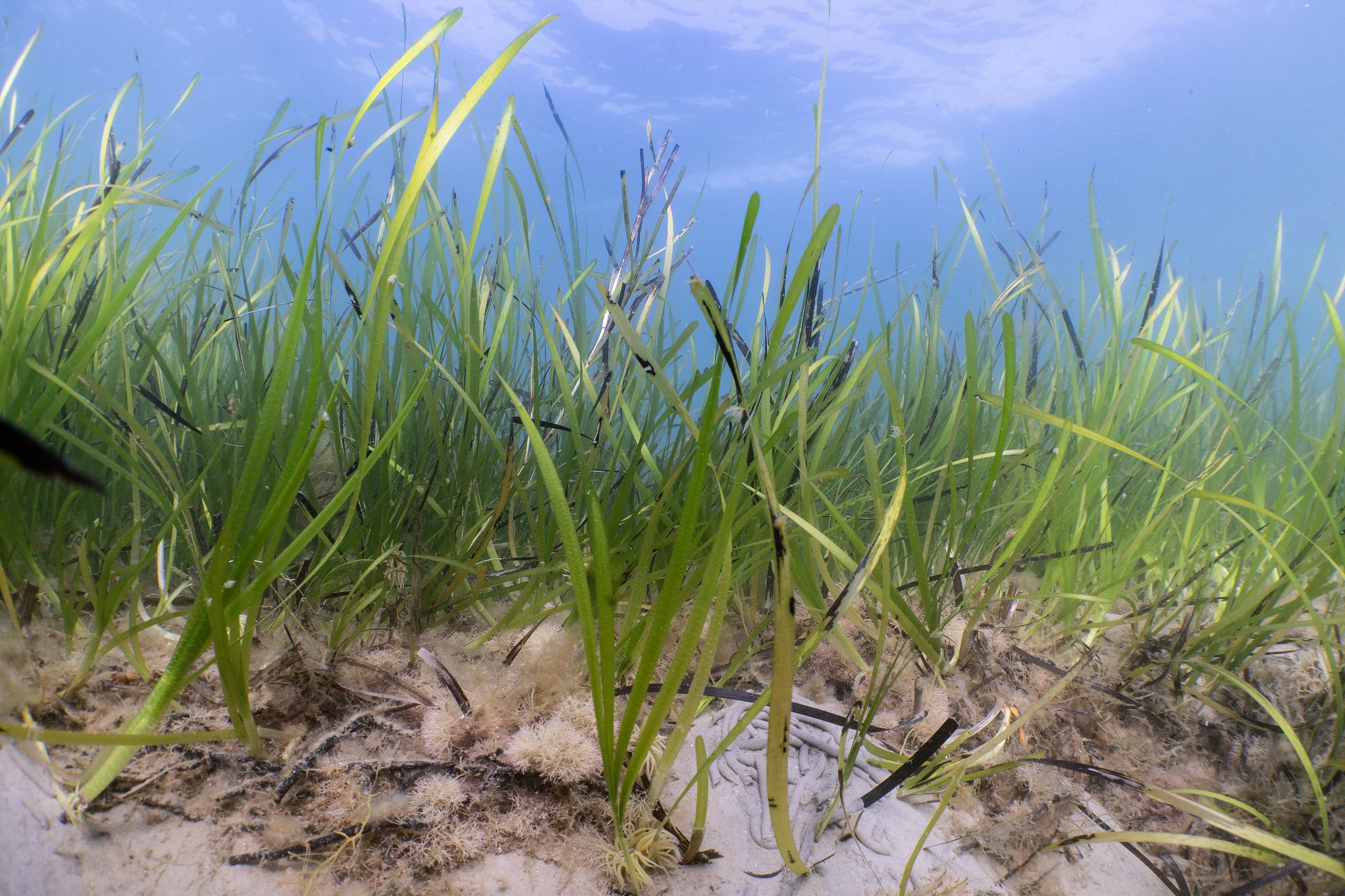
Ocean Conservation Trust
We are using a suite of ArcGIS solutions to help us protect, regenerate and restore the UK’s seagrass meadows.
Continue Reading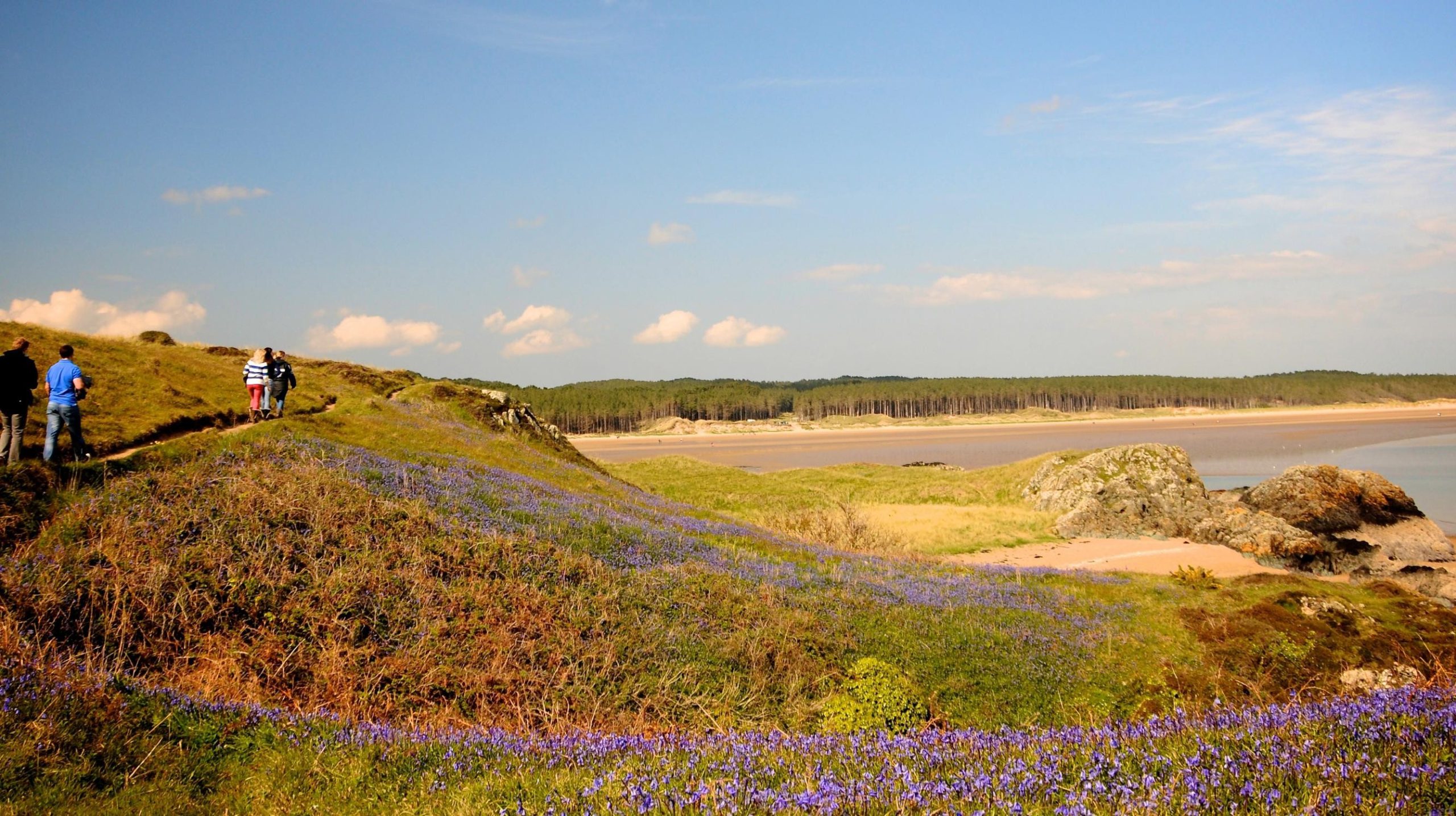
Keep Wales Tidy
Our new ArcGIS-driven litter survey methodology is giving us richer data to help influence and monitor policy and keep Wales tidy.
Continue Reading
Police Scotland
We have successfully leveraged ArcGIS technology to digitise and modernise missing persons search operations, anticipating significant resource and cost savings which can be redirected to other policing priorities.
Continue Reading
Natural England
Having identified the need for a digital spatially led approach we have developed a solution using ArcGIS Field Maps, ArcGIS Survey123, ArcGIS Experience Builder and ArcGIS Dashboards that is helping our advisors perform their jobs more efficiently.
Continue Reading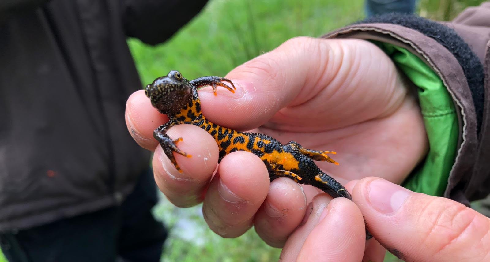
Natural England
We have successfully leveraged ArcGIS technology to digitise and modernise our DLL Scheme, increasing the integrity of our data, supporting better decision-making and enhancing collaboration with our stakeholders.
Continue Reading
Jersey Electricity
We have transformed decades-old, hand-drawn network diagrams into a live digital map of all our network assets.
Continue Reading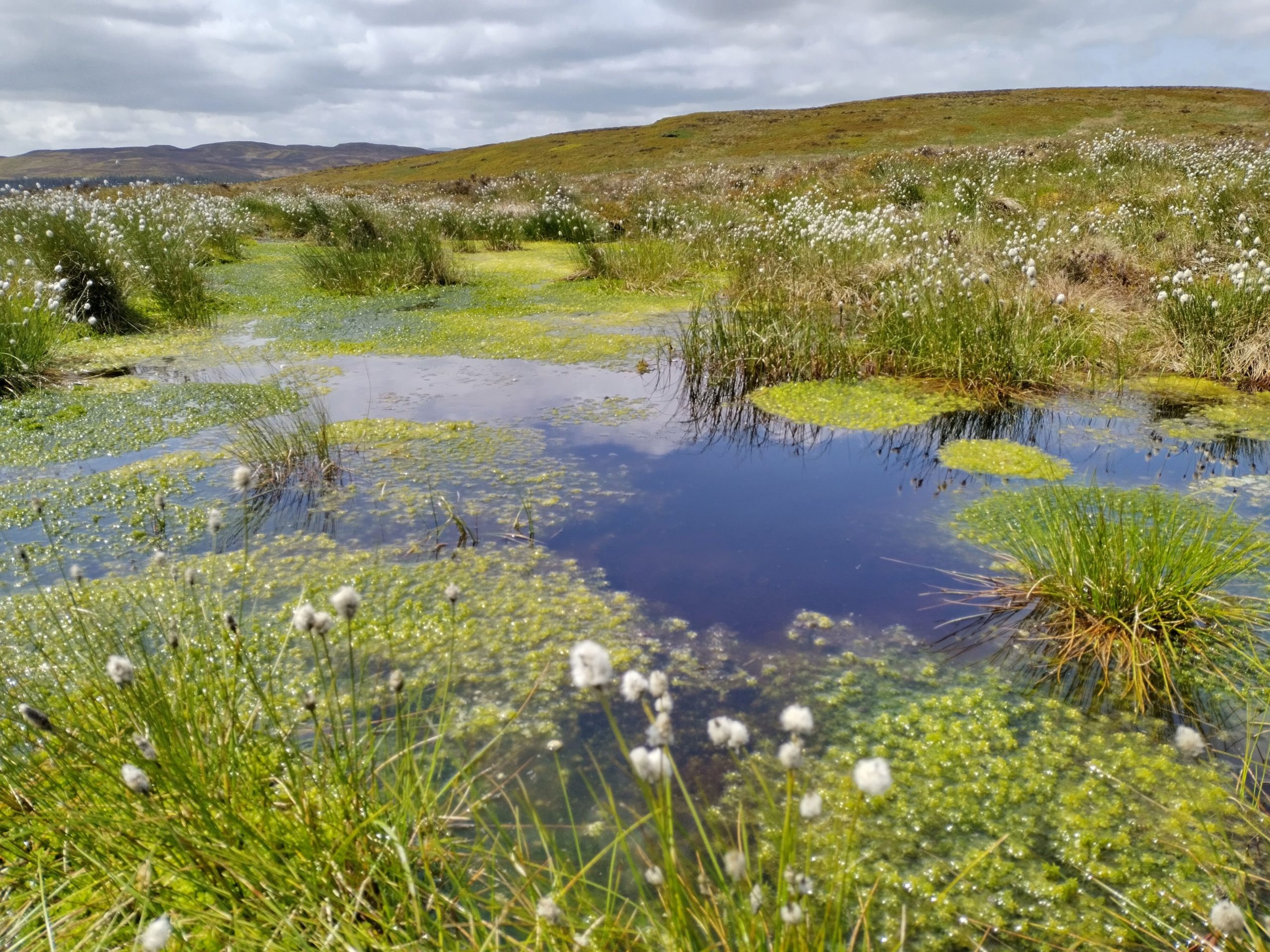
RSPB
Precious peatland habitats in Wales are being restored to health using a suite of ArcGIS products.
Continue ReadingArcGIS update – spring 2025
February saw releases and updates across several parts of the ArcGIS system, so we wanted to provide a summary of all the updated products and share key links so you can find out more. I know it wasn’t quite spring, … Continue reading
Continue Reading
Mott MacDonald
ArcGIS played a central role in enabling us to survey biodiversity at 14 separate sites and deliver a fast, high-quality service for our clients
Continue Reading