Tag Archives: ArcGIS Online
The ArcGIS Online update is a classic
The ArcGIS Online update that went in last night is a mighty one – with two key app updates coming out of beta and a new capability for collaborating with partners. Where to start… The new Map Viewer The new … Continue reading
Continue ReadingPartnered Collaborations in ArcGIS Online
One of the exciting new features in the ArcGIS Online update is Partnered Collaborations. This digital infrastructure, built into ArcGIS Online, allows us to establish formal relationships between two or more organisations. The current Sharing Model allows organisations to securely … Continue reading

Alcis
Using the Deep Learning tools in ArcGIS Pro, Alcis has trained a segmentation model capable of accurately identifying tent numbers in IDP camps, helping aid agencies to deliver aid more effectively.
Continue Reading
Forestry & Land Scotland
With ArcGIS we have delivered one of the Government’s first digital mapping services, replacing an outdated system with a user-friendly service that efficiently manages the marine planning and licensing service.
Continue Reading
Marine Management Organisation
With ArcGIS we have delivered one of the Government’s first digital mapping services, replacing an outdated system with a user-friendly service that efficiently manages the marine planning and licensing service.
Continue ReadingMake Apps Beautiful Again!
Have you recently dived into the world of Web AppBuilder (WAB) and perhaps found yourself a little lost with where to go, which colour to pick and when to stop adding widgets? There’s absolutely no shame in that, we’ve all … Continue reading
Continue Reading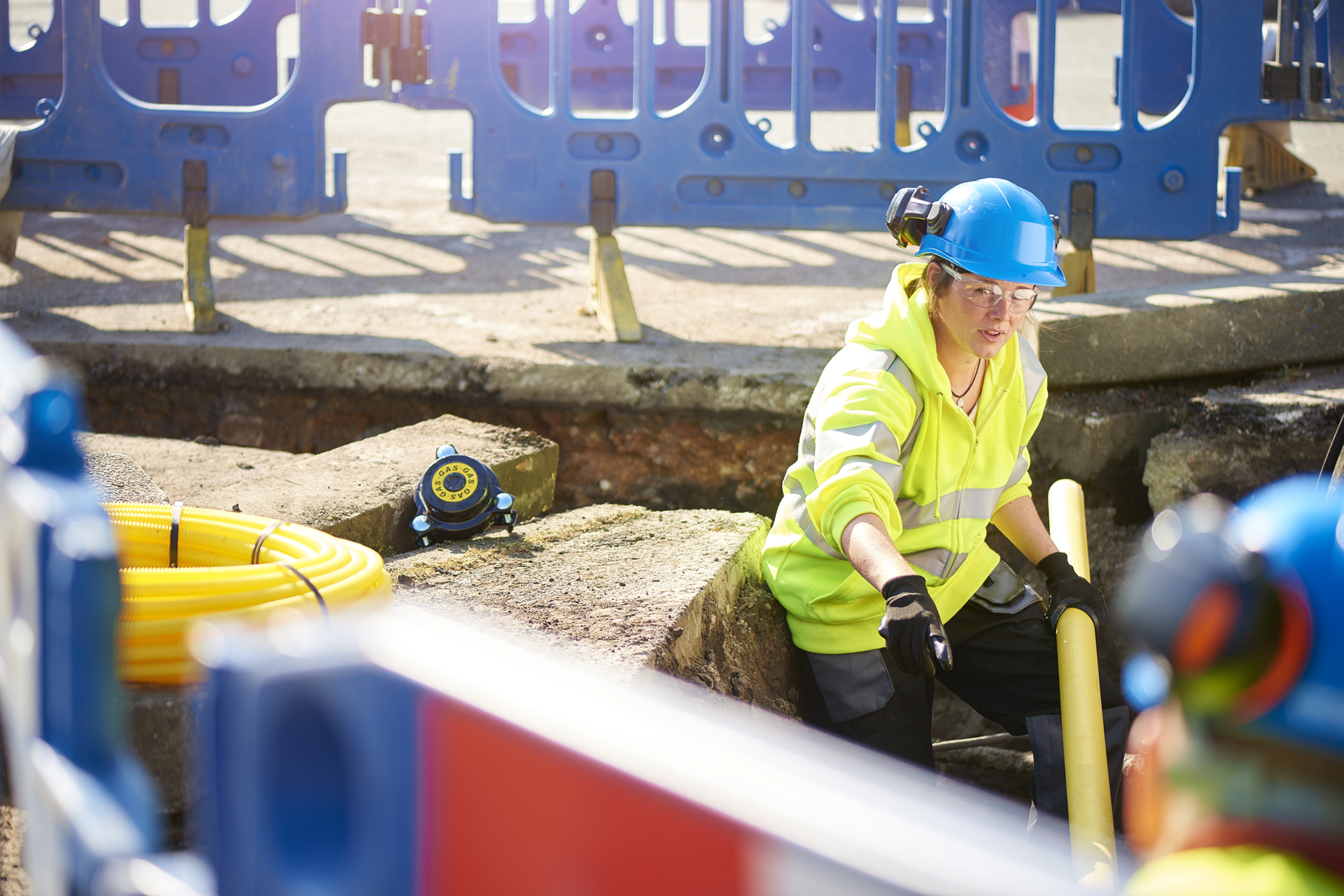
Atkins
We are cutting the cost and duration of road works and reducing disruption for road users by giving utilities and local authorities the shared insight they need to collaborate more effectively.
Continue Reading
Severn Trent Water
While Britain was in lockdown, our employees were using their daily exercise time to survey properties near their homes with an ArcGIS app and help us tackle water leakage.
Continue ReadingWalk Wheel Cycle Trust
ArcGIS empowers all our employees to work efficiently and deliver vital projects to create healthier places and happier people
Continue Reading
Fera Science
ArcGIS will play a pivotal role in helping the Government and other landowners to protect Britain’s countryside and agriculture industry from a deadly plant disease.
Continue Reading