Tag Archives: BIM

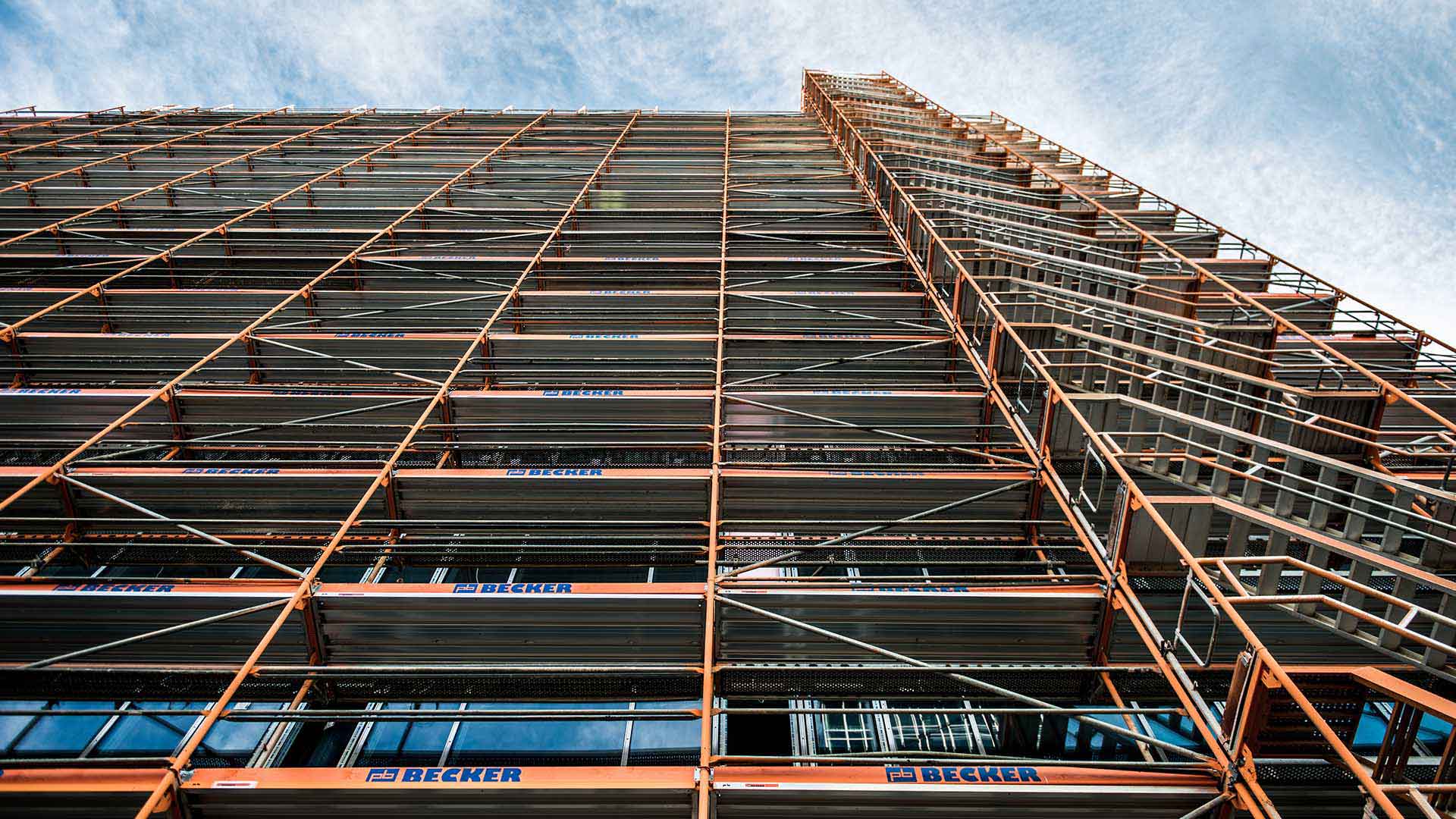
A “Second Skin” for Buildings Aims for a Net-Zero Future
A new retrofit process with net-zero aims adds a "second skin" to existing buildings, raising questions of local context.
Continue ReadingBuilding Scene Layers: the key to integrating BIM and GIS
Working with CAD/BIM operatives and their fantastic drawings has been technically challenging, but also an enlightening experience due to handling highly detailed building models based upon clear and consistent data structures. Recently I have been researching workflows that better enable …
Continue Reading
Skanska, Costain and STRABAG Joint Venture (SCS JV)
Our industry-leading development of an integrated 3D GIS and BIM solution, GeoBIM, is improving the way employees collaborate and helping us to ensure the successful delivery of the first section of HS2 from Euston to Greater London.
Continue ReadingWhat’s new in ArcGIS Pro 2.4?
ArcGIS Pro 2.4 is out. What are the cool new features I hear you ask?
Continue Reading
NextTech: Seeing Buildings before They’re Born
A combination of 3D technologies gives planners a view of the future that can preempt cost overruns down the road.
Continue Reading
Argent
We can share information with both internal and external stakeholders, schedule multiple simultaneous projects and make critical business decisions with ArcGIS
Continue ReadingGIS in BIM: plan, design, build and operate
BIM for GIS people
What is BIM and where does GIS fit in?
Update: since this post was written the BIM landscape in the UK has matured. You can read a more up to date overview here and about the role of GIS through the building lifecycle here. Over recent months, I’ve been looking … Continue reading
Continue Reading