Tag Archives: Emergency Response

Stantec
We have used ArcGIS to create a ground-breaking solution that helps firefighters extinguish fires more quickly.
Continue Reading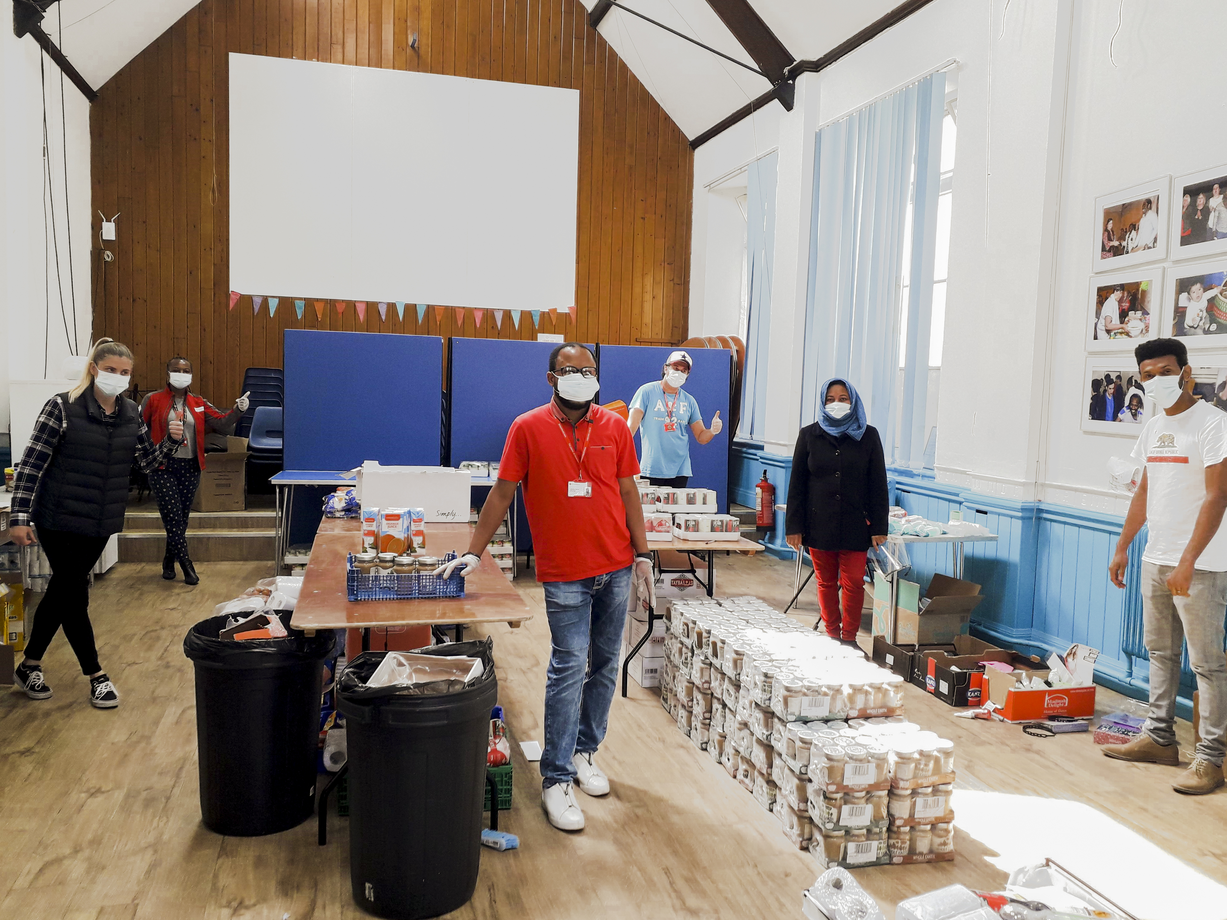
British Red Cross
Migrating to the latest ArcGIS technology enabled us to accelerate the development of a suite of GIS apps and tools that are now helping us respond to emergencies, alleviate health inequalities and supporting displaced or migrating people.
Continue Reading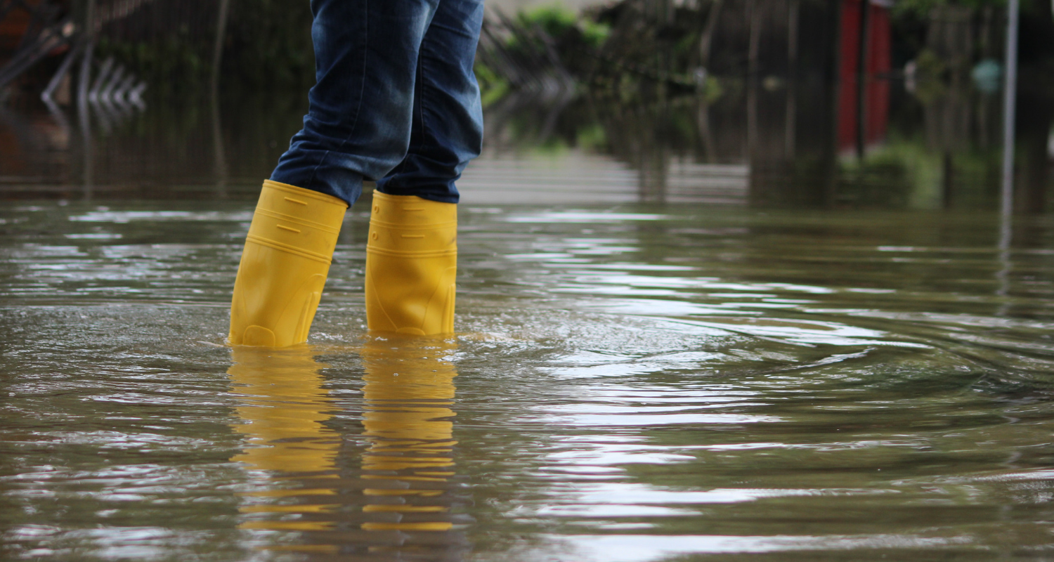
Environment Agency
ArcGIS allows us to collect, analyse and share real-time information about major incidents and take rapid action to protect people and the environment.
Continue Reading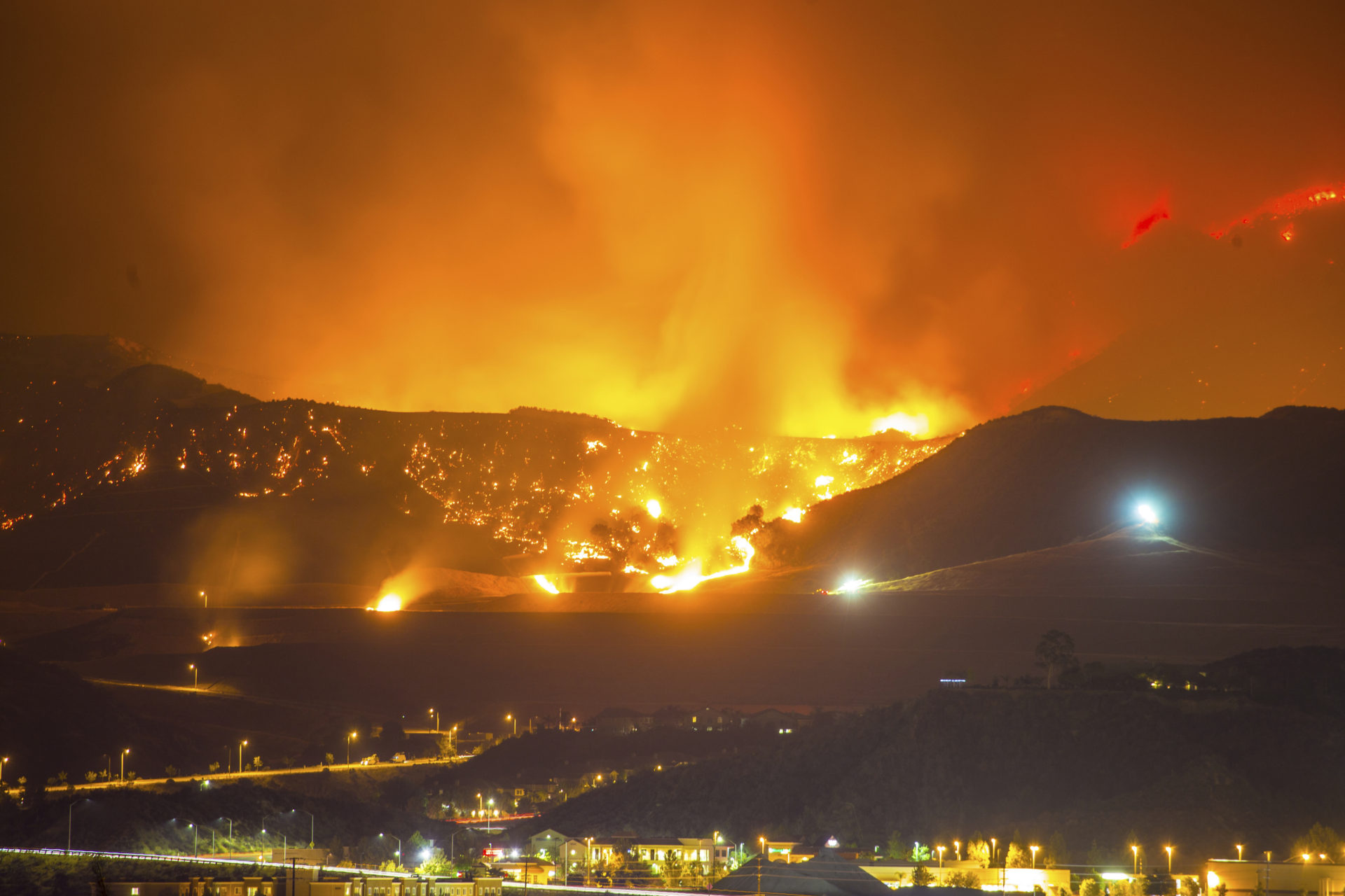
Sompo Canopius
Our underwriters now receive up to date information on natural catastrophes and can make more incisive decisions to protect our business profitability
Continue Reading
Worcestershire County Council
Custom-made web mapping services drives innovation across the council, delivering better services for citizens in a more cost effective way.
Continue Reading
MapAction
Kiosk enables us to rapidly provide maps and situational information to volunteers helping them to make faster decisions and alleviate human suffering
Continue Reading
Schiphol Airport
ArcGIS delivers a single asset management tool to gain a clear understanding of all assets on site, from underground cabling to individual runway lights
Continue Reading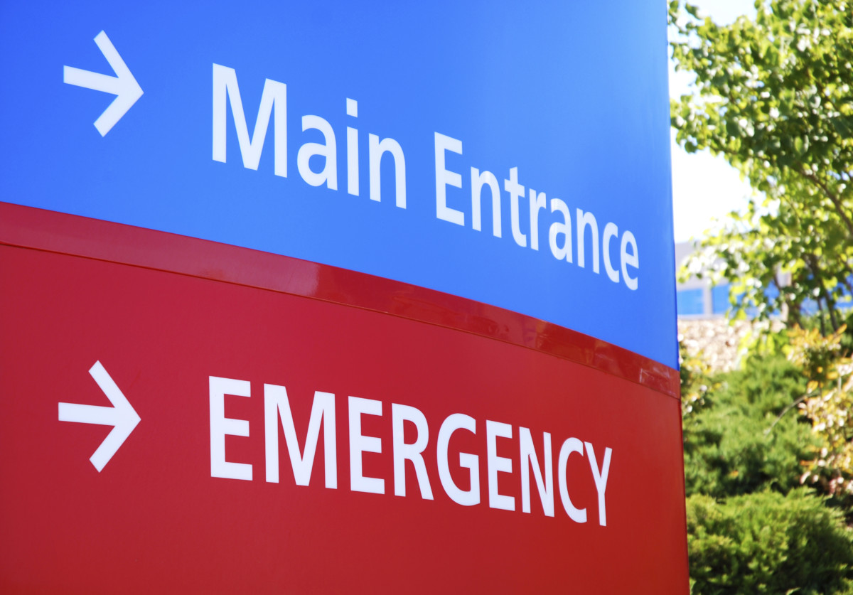
Ipswich Hospital NHS Trust
This project has changed the conversation at board level to focus on moving to a more sophisticated way of visualising and reporting data
Continue Reading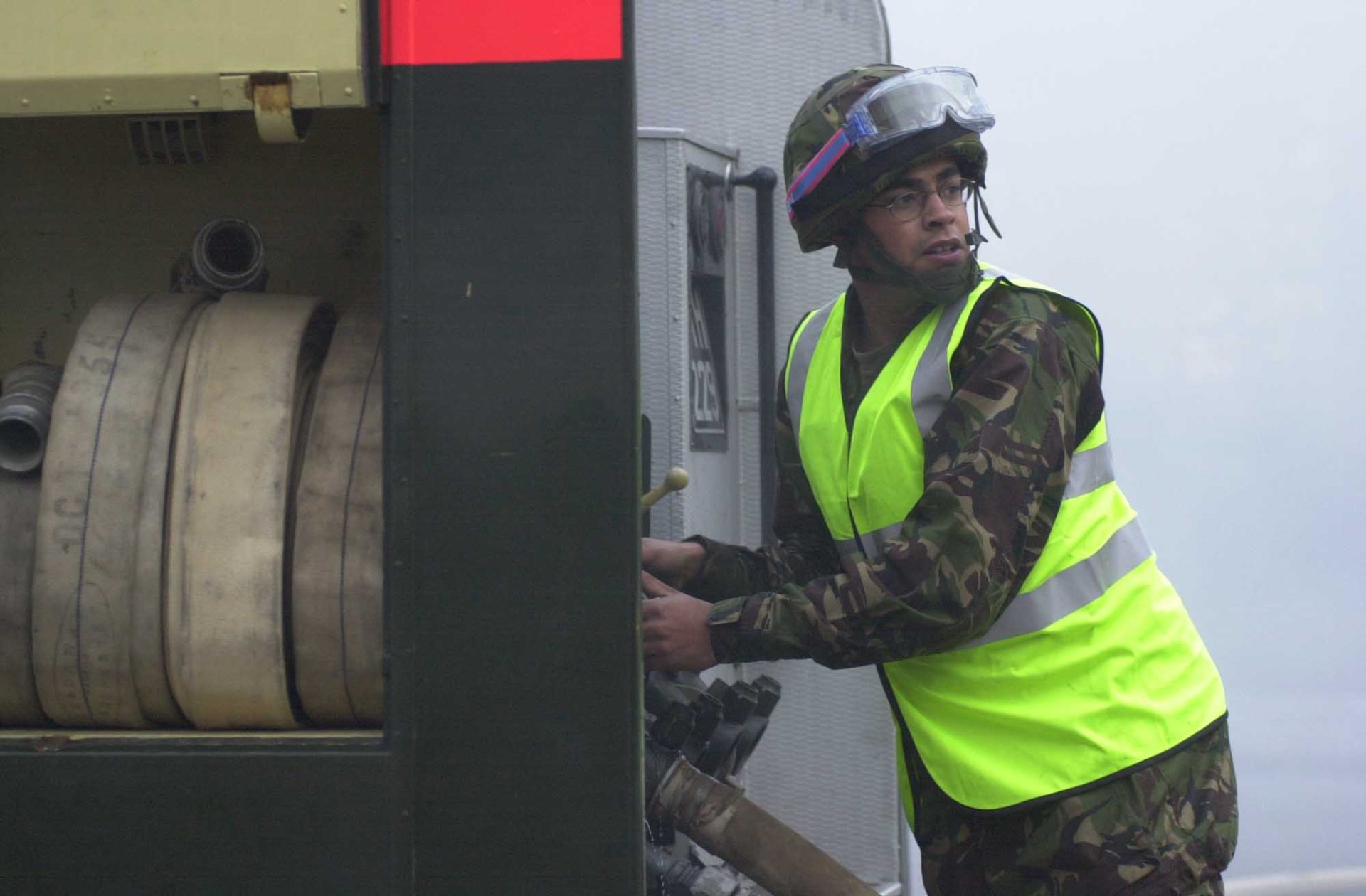
Headquarters Land Forces, British Army
All the information we need is instantly accessible in one place so we can make rapid decisions and take the most appropriate action to protect citizens
Continue Reading
London Borough of Hammersmith & Fulham
Staff across planning applications, highways maintenance and emergency planning use the ArcGIS platform to improve the quality of services for citizens.
Continue Reading