The Esri UK COVID-19 Data Hub presents data in five categories:
- Coronavirus cases
See where large clusters of cases are still occurring and monitor whether daily deaths are beginning to reach a peak. Use this information to evaluate whether local healthcare services have the capacity for expected patient numbers and to locate community-based services in the right places to meet demand.
- Health
Allow users to identify their most vulnerable people, including people with health deprivation and disabilities, low-income households, homeless people and rough sleepers. Draw on this insight to direct the services of voluntary groups and local authorities to those who are most in need of support.
- Infrastructure
Pinpoint the locations of sites where people may congregate such as supermarkets, pharmacies and parks to implement and enforce social distancing measures. See all UK ports and train stations to quickly build new supply chains and distribution networks for importing Personal Protection Equipment (PPE) and other goods to new destinations.
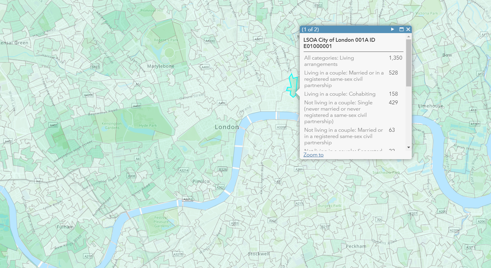
- Population
Find out about average household sizes and UK living arrangements to identify elderly people living alone who may appreciate help with shopping or occasional telephone calls to reduce their feelings of loneliness.
- Boundaries
Use boundary data to see which agencies and local authorities are responsible for which groups of citizens and services. Apportion tasks to different voluntary organisations or groups in different locations to ensure that no one is overlooked.
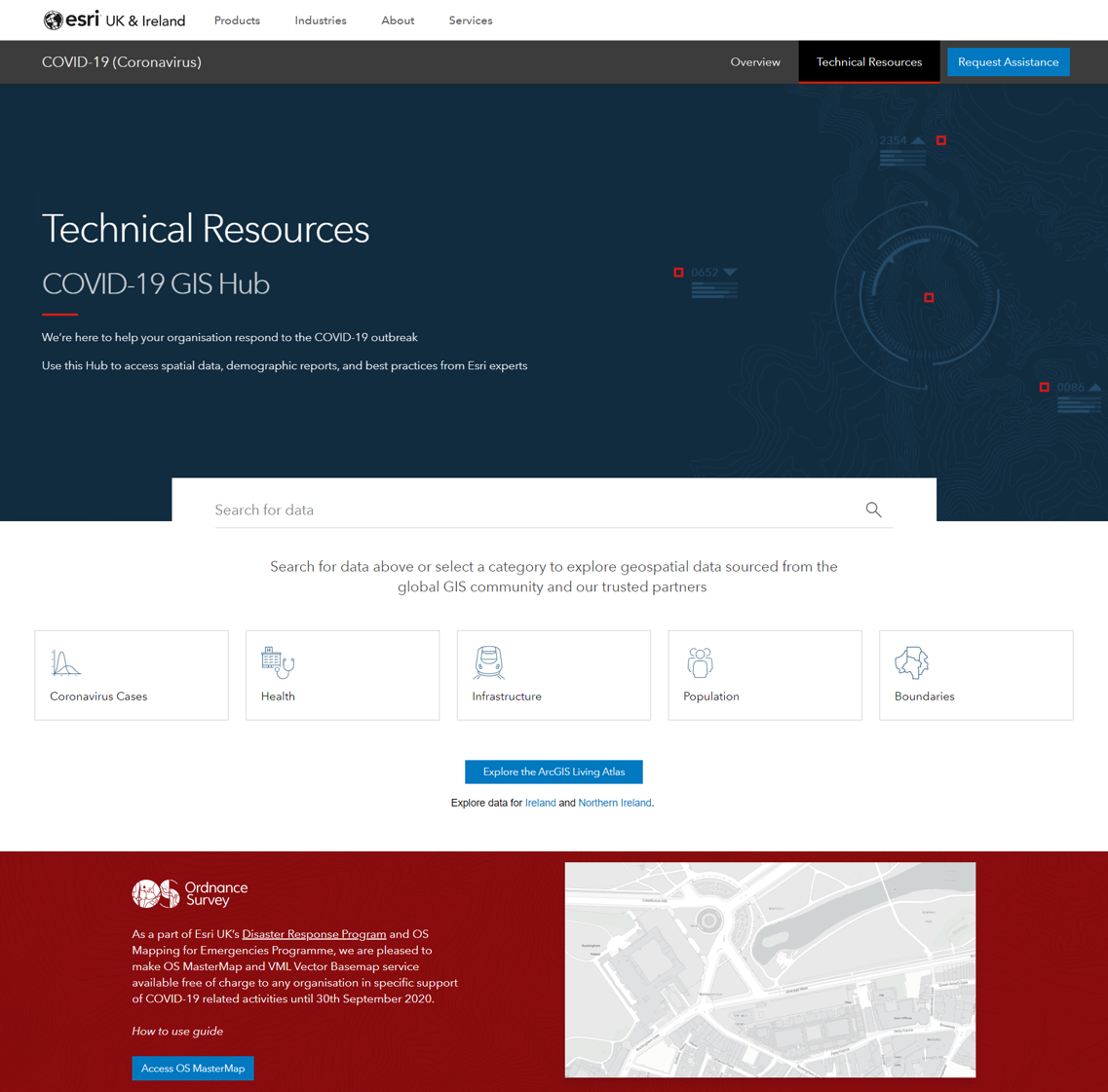
This COVID-19 Data Hub doesn’t just comprise of carefully curated Open Source data. Esri UK is working with its network of premium data providers, who are making their data freely available throughout this current crisis. For example, as a part of Esri UK’s Disaster Response Programme and Ordnance Survey’s Mapping for Emergencies Programme, Esri UK has been able to make OS MasterMap and VML Vector Basemap services available free of charge, through its Data Hub, for any organisation to use to support COVID-19 related activities until 30th September 2020.
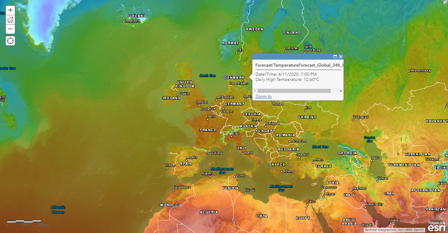
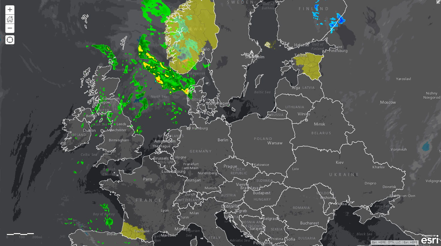
In addition, Esri UK has engaged with DTN, an industry leader in the provision of weather information, to make rich weather data and 10-day forecast services available through the COVID-19 Data Hub. ArcGIS users can use this data to anticipate the effect sunny weather might have on social distancing during the upcoming May Bank Holidays in our local parks and recreation areas. Critically, organisations will be able to monitor for any extreme weather events – like the flooding experienced earlier this year – that might coincide with the COVID-19 crisis. They can then take steps to help prevent our already stretched emergency services from becoming overwhelmed.
It is amazing to witness the ingenuity of people who are already using GIS to help solve the problems that our society is facing. There are some great examples of this work in the Esri “Global COVID-19 Community Gallery” which people can draw upon for inspiration to support their own initiatives. However, all this creative work needs to be underpinned by fast access to trusted data, to ensure that GIS professionals spend time analysing and solving problems rather than sourcing and preparing data.
We are continuing to evolve the data available in the Esri UK Covid-19 Hub, so if you have any suggestions or if the data you need is not already in there, get in touch and we will help you find what you need. Whether you are coordinating volunteers, delivering key services, sourcing vital supplies or just adapting to survive, we aim to provide friction-less access to the authoritative, up-to-date data you need to make decisions with certainty in these very uncertain times.
 James Harvey - Esri UK
James Harvey is Head of Content at Esri UK. Having worked in GIS for over a decade, he understands the pivotal importance of quality, authoritative content and focuses on providing people with the data they need to solve all kinds of business, societal, environmental and healthcare problems.