Tag Archives: Data Visualisation
Map Smarter (and Faster) with the OS NGD API
Thanks to work behind the scenes, you can now access features from Ordnance Survey’s National Geographic Database (NGD) directly in ArcGIS Online and ArcGIS Enterprise 11.1 onwards. With the OS NGD API – Features, you can access up-to-date, authoritative OS … Continue reading
Continue Reading
Analyse and visualise imagery in ArcGIS Online
Picture this – 4,000 active satellites orbiting the earth, sensors whirring (I know that they’re not making a sound because space is a vacuum but I’m taking artistic license). Some of these capture high resolution imagery, which provide organisations with … Continue reading
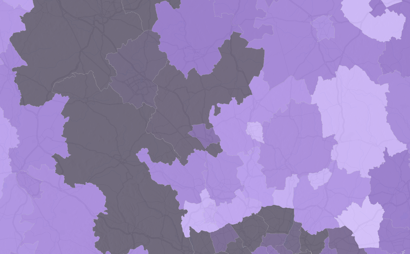
Explore the 2021 Census data with ArcGIS Living Atlas
Back in 2021, many of us in England and Wales may remember filling in the many pages of the census. Since then, much of the data has been processed by the Office for National Statistics and is starting to become … Continue reading
Continue ReadingVisualising data using chart and maps in ArcGIS Pro
For GIS people, visualising data spatially is the norm. However, sometimes a map alone only provides the audience with part of the data’s story. In these cases, you can use the ArcGIS system to create charts from tabular and raster … Continue reading
Continue ReadingArcGIS StoryMaps: immerse yourself in recent enhancements
ArcGIS StoryMaps has been empowering storytellers more than ever this year with a heap of big enhancements. Big, huge, almost too many to keep track of! I’m going to take you on a whistle stop tour of my favourite enhancements … Continue reading
Continue Reading
How to end the ICE age and keep Electric Vehicles moving
Electric Vehicle (EV) charger installations are not keeping pace with demand. Stakeholders need to choose the right locations quickly and confidently. Geographic Information System (GIS) mapping technology is accelerating the decision-making process.
Continue ReadingMake Apps Beautiful Again!
Have you recently dived into the world of Web AppBuilder (WAB) and perhaps found yourself a little lost with where to go, which colour to pick and when to stop adding widgets? There’s absolutely no shame in that, we’ve all … Continue reading
Continue ReadingUK COVID-19 Service in the Living Atlas
Update Since the blog was originally posted the historic data tables have been added to the service. The field details are below The service Esri UK’s “UK COVID-19 Data” is a feature service containing coronavirus (COVID-19) data automatically updated from … Continue reading
Continue ReadingBlending maps in ArcGIS Online
One of the newest additions to the Map Viewer Beta is blend modes. The Map Viewer Beta is the trendy new map making tool for ArcGIS Online, which provides an enhanced experience for key map authoring workflows. The Map, powered … Continue reading
Continue Reading
How to use ArcGIS with Power BI
Power BI is an excellent tool from Microsoft for data visualisation and dashboards. ArcGIS, from Esri, is also an excellent tool for data visualisation and dashboards. Can I use both? Absolutely. In fact, we encourage our customers to have both … Continue reading
Continue Reading