Tag Archives: ArcGIS
Data security and privacy – user responsibilities in ArcGIS
In today’s data-driven world, organisations are often handling a lot of sensitive information – from customer records to critical infrastructure data. With increasing regulatory pressures and cyber threats, it’s critical you hold strong data security and privacy practices for maintaining … Continue Reading
Machine Learning made even easier? Where it’s at in ArcGIS in 2025
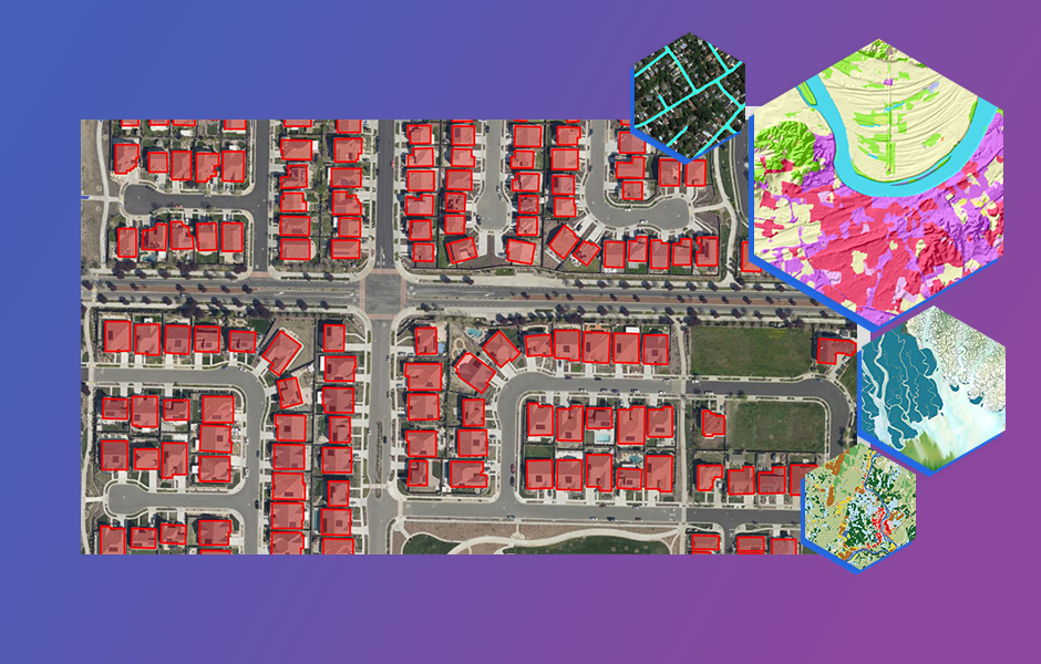
Machine Learning in GIS is not new – machine learning capabilities were introduced in ArcGIS as early as 2009. Recognise this? You’ve been able to use machine learning in ArcGIS to perform image classification, enrich data with clustering, or model … Continue reading
Continue ReadingArcGIS licensing in six user type choices
This blog was updated in March 2025 to reflect new changes coming to the user types. The ArcGIS system contains a diverse portfolio of individual products that meet the wide needs of our customers. From a capability and technology perspective … Continue reading
Continue ReadingIntegrating ArcGIS in your Microsoft 365 workflows.
I was recently reading our blog about ArcGIS for Excel and went on a deep dive into how we can integrate spatial visualisation with our everyday workflows in Microsoft applications. Along with new tools, comes access to your existing ArcGIS … Continue reading Continue Reading
British National Grid goes 3D in ArcGIS
Today we are excited to announce the Beta release of our new British National Grid Terrain 3D Elevation Layer. This opens a whole new world of 3D data and experiences in ArcGIS Online. Best of all, the layer is freely … Continue reading
Continue ReadingGetting started with ArcGIS and Snowflake data warehouse
The use of data warehouses to store and analyse large amounts of information within organisations is growing. Many of those organisations are wanting to better understand how this can work with their spatial data and in particular, ArcGIS. ArcGIS is … Continue reading
Continue ReadingMapping your spreadsheets with ArcGIS for Excel
I recently had the opportunity to explore ArcGIS for Excel and find out what it’s for and what it can do. At this moment in time, I have a bit more experience in Excel than in ArcGIS so I was … Continue reading
Continue Reading
Utility Network web editing tools at your fingertips (literally)
Why edit a utility network? You can switch on your lights, fill the kettle, and turn on the heating thanks to complex networks distributing electricity, water, and gas to our homes and businesses. Without a good understanding of a utility … Continue reading
Continue Reading
What is GIS? Five key concepts to improve your understanding
When you’re running late for work and trying to find shortcuts along your route, you’re using GIS. When organisations have digitised plans of their estate, also GIS. Biologists tracking animal migrations… You can guess where I’m going with this. So, … Continue reading
Continue ReadingGetting started with URL parameters in Survey123
Like many aspects of ArcGIS Online, web forms built using Survey123 can be accessed and modified in unique ways using URL parameters. In this blog, I’ll dive into how we can use them to help make submitting surveys a more … Continue reading
Continue Reading