Tag Archives: Field Work

Balfour Beatty VINCI
With ArcGIS in a Managed Cloud Services environment we are managing the construction of one of Europe’s most challenging rail infrastructure projects.
Continue Reading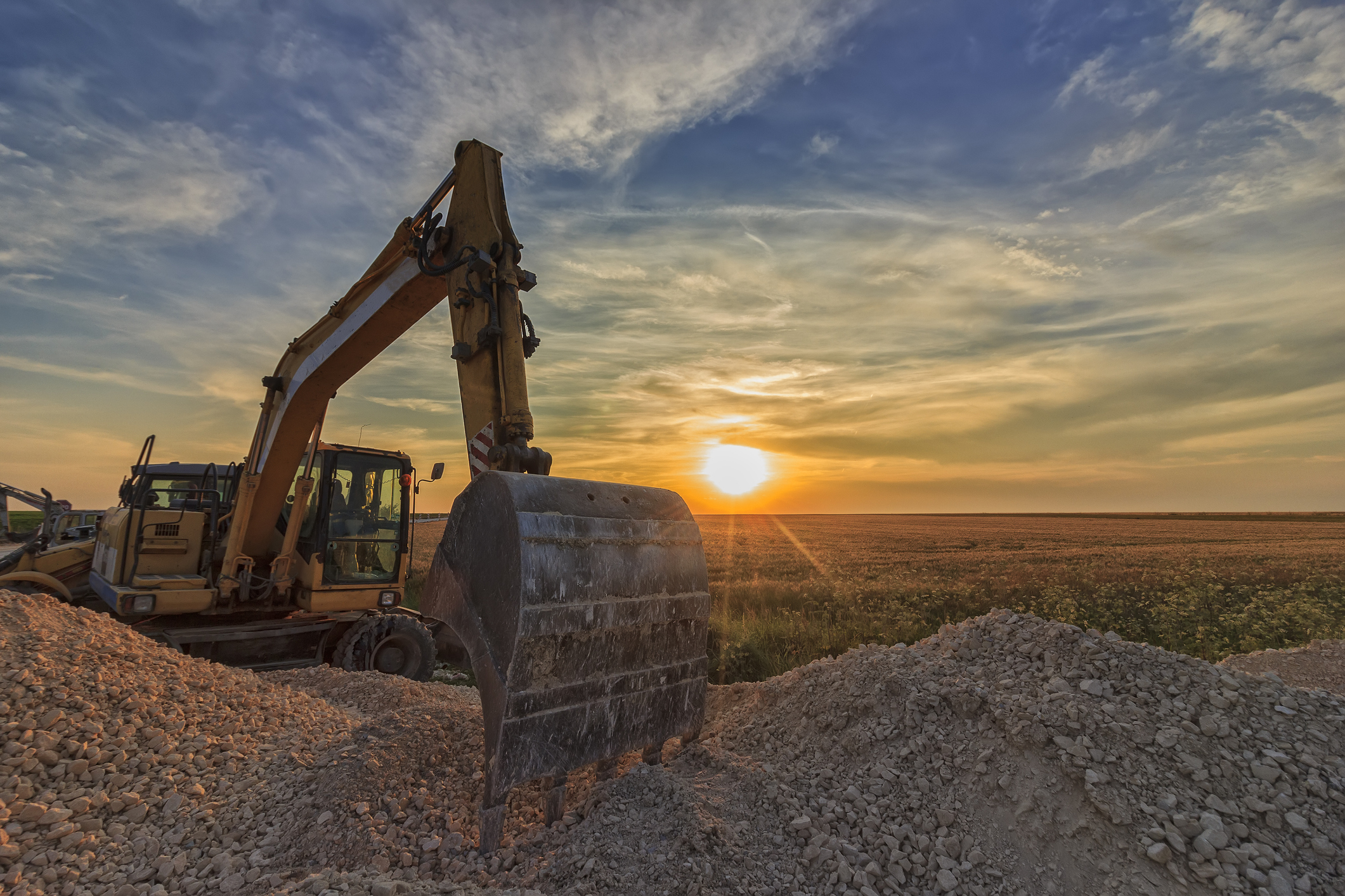
Fusion
ArcGIS is the core asset management system that is enabling us to coordinate the activities of 60+ contractors and subcontractors and deliver a major infrastructure project efficiently
Continue ReadingQuick update on QuickCapture
QuickCapture is Esri’s solution for rapid data collection within the field. It provides a streamlined experience for making quick, on the fly field recordings at the click of a big button. Most field workers loathe the experience of doing field … Continue reading
Continue Reading
ArcGIS Field Maps: destined to rationalise ArcGIS field apps
Starting with Collector for ArcGIS, we have got used to using focused apps to take GIS out of the office and into the field. To support and enhance the workflows, a family of apps has grown up alongside Collector: Explorer, … Continue reading
Continue Reading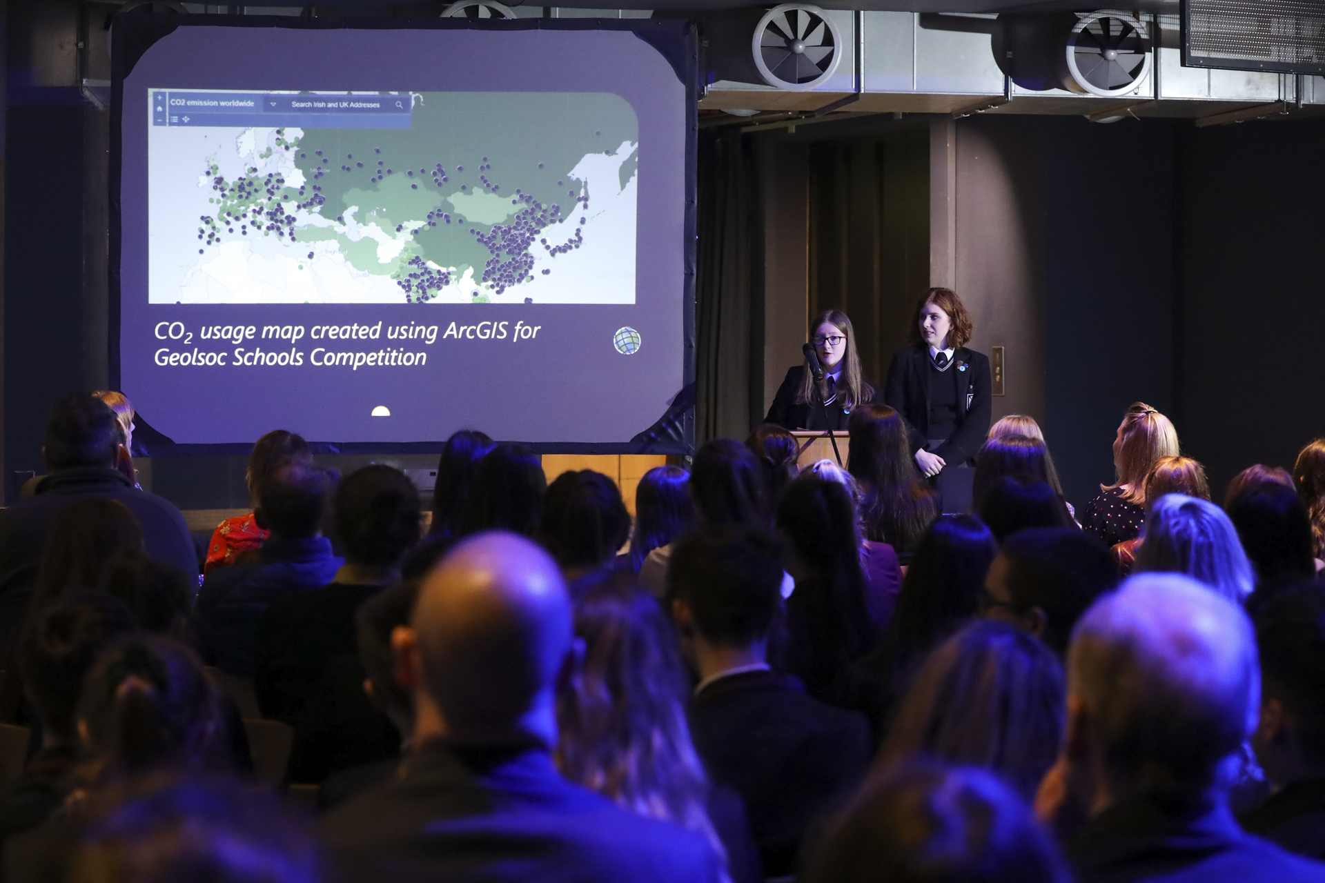
Methodist College Belfast
Students use ArcGIS to evaluate the environmental, economic and social impacts of renewable and non-renewable energy sources
Continue Reading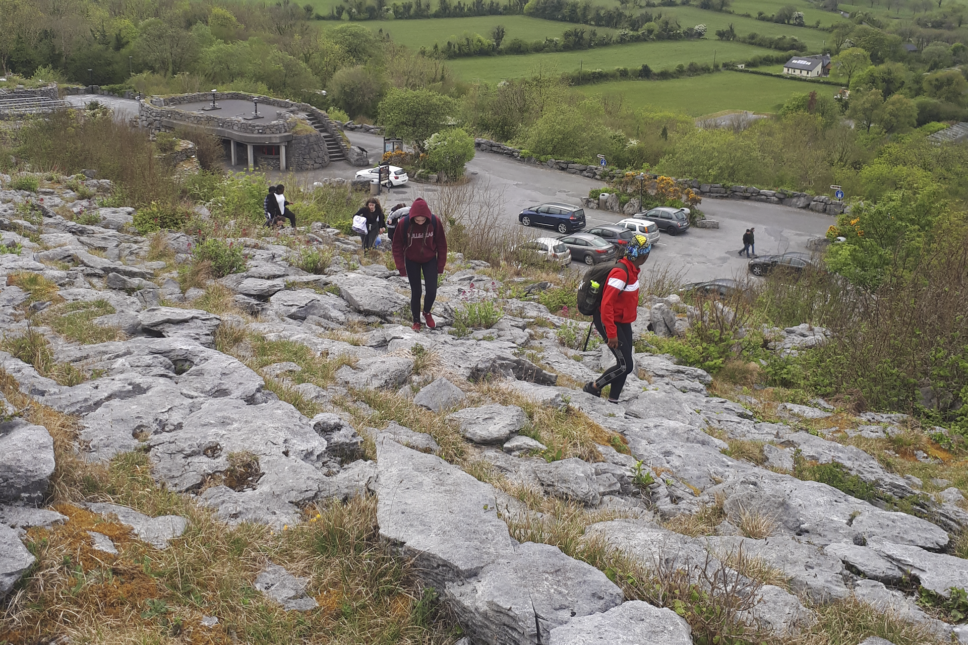
St Conleth’s Community College
Students of all abilities at Saint Conleth's Community College are developing important life skills through the use of ArcGIS.
Continue Reading
Flagship Group
When tenants, members of the public or employees report issues with trees on our land, we can respond quickly and effectively to ensure public safety.
Continue Reading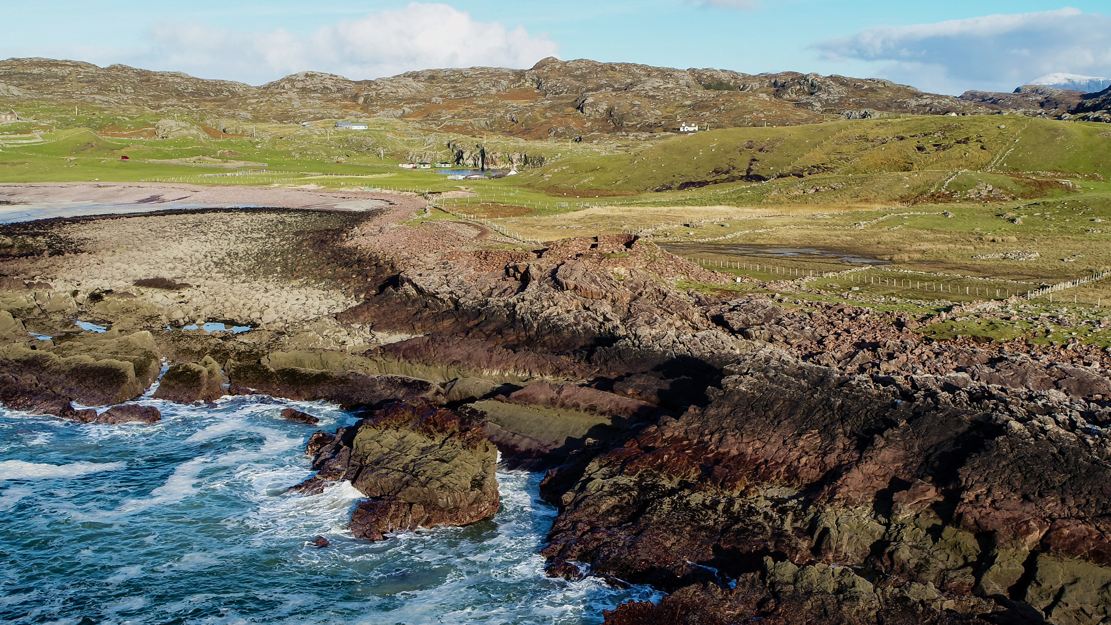
AOC Archaeology Group
We are bringing history to life for our clients and the wider public, by using ArcGIS to collect, analyse and share archaeological information.
Continue Reading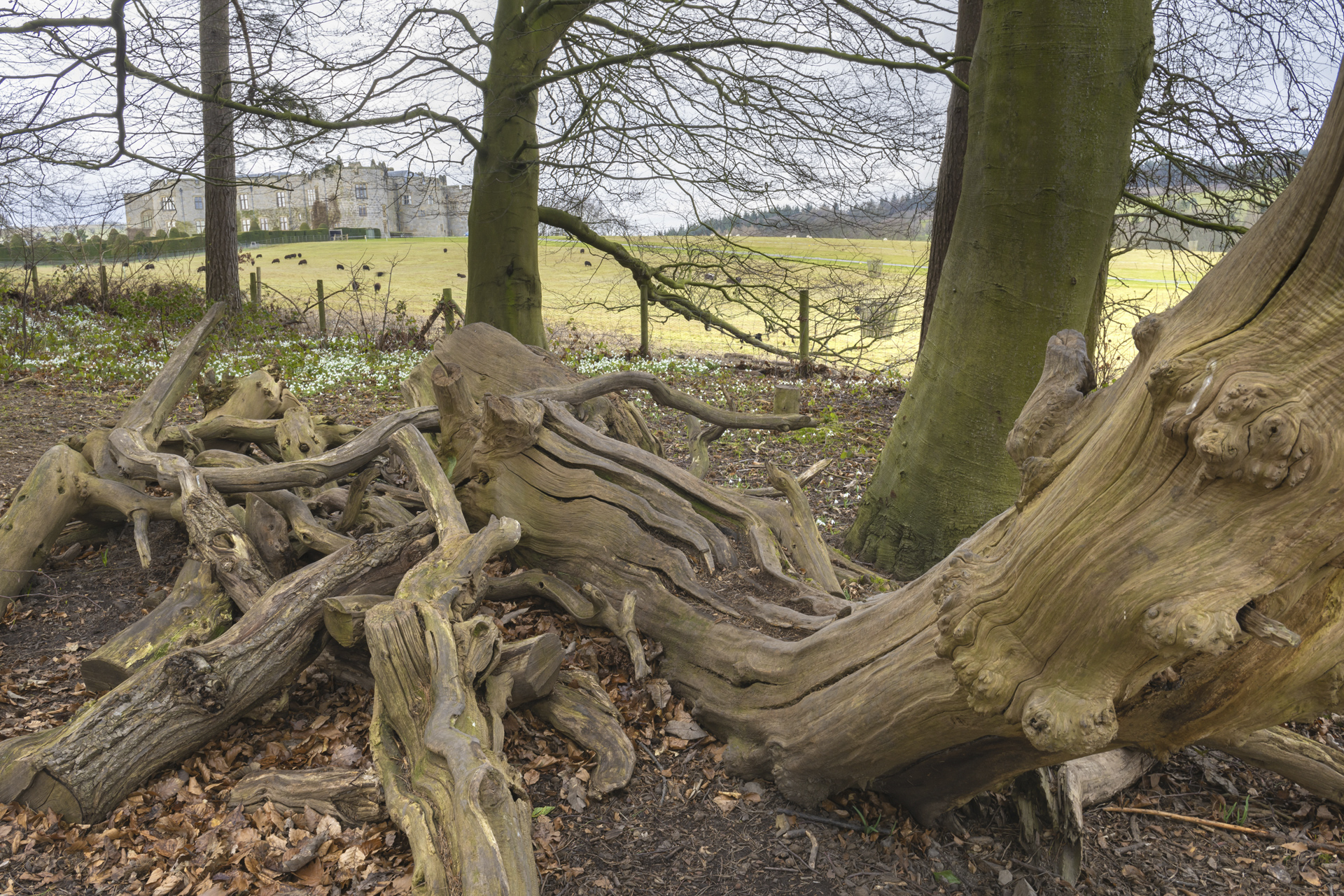
National Trust
We are proactively reducing the risks from falling trees and branches, to protect our visitors, volunteers, staff and property, using a solution we developed with Esri’s ArcGIS.
Continue Reading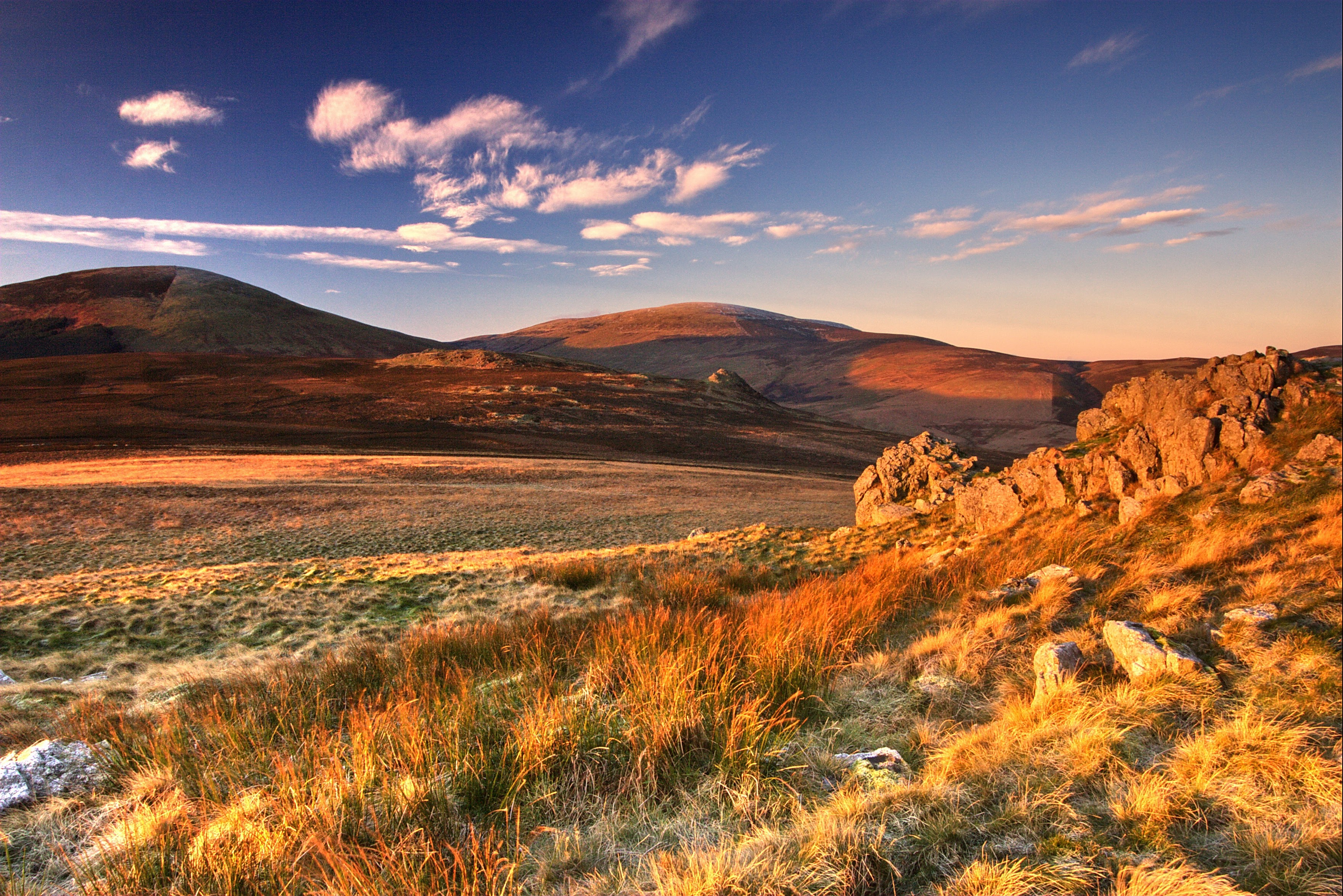
Northumberland National Park Authority
Members of the public became more engaged in our conservation work and more enthusiastic about exploring the park, after viewing and analysing our geospatial data using ArcGIS.
Continue Reading