Tag Archives: StoryMaps

The University of Warwick
Visualising, understanding and managing a 200-hectare campus is now so much easier with a Digital Campus, built with ArcGIS.
Continue Reading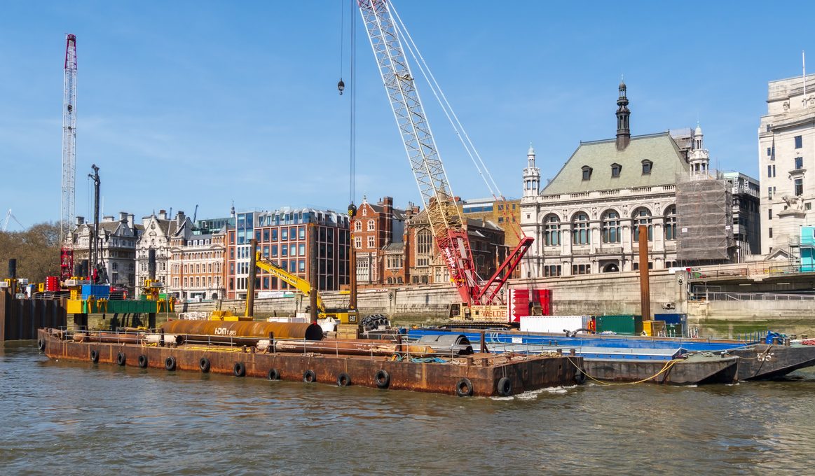
Thames Tideway Tunnel
Our geospatial strategy and using GIS throughout the life of the Tideway project, has given us consistent means of engagement with every single stakeholder, from construction partners to community groups and local authorities.
Continue Reading
NHS Fife
Managing our natural capital and meeting our sustainability responsibilities is so much easier with our ArcGIS Greenspaces Map.
Continue Reading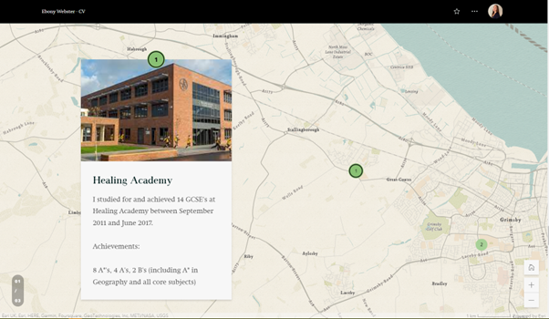
CVs just got a whole lot more interesting with ArcGIS StoryMaps
As employment applications become increasingly digital and technology-focused, jobseekers need to find innovative ways to stand out from the competition. ArcGIS StoryMaps is a web-based platform that allows users to combine maps, multimedia content and storytelling to create engaging stories…or … Continue reading
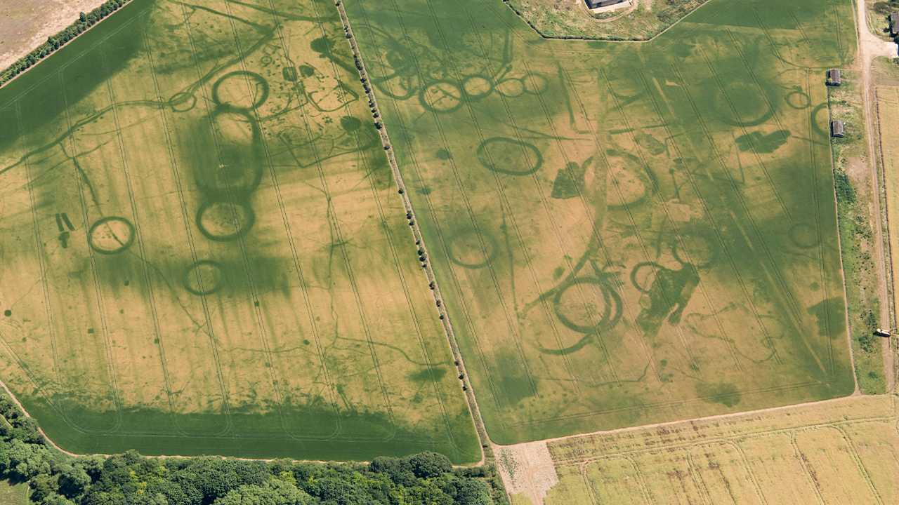
Historic England
We are helping people to discover and explore the rich archaeology of England by making our images and the mapping derived from them, accessible via ArcGIS
Continue ReadingArcGIS StoryMaps: checking in on the next generation
I’m a big fan of the next generation of ArcGIS StoryMaps. They offer a single, clean builder to add narrative content and illustrate spatial relationships with real visual appeal. No two stories are the same, so the format and tools … Continue reading
Continue Reading