Tag Archives: ArcGIS Online
Post navigation
Getting to know ArcGIS Data Pipelines
Time is arguably our most valuable resource and preparing datasets can often be the most time-consuming part of any GIS project. Ingesting data from various sources, cleaning large datasets, joining datasets together, and calculating new fields are common data preparation … Continue reading
Map Smarter (and Faster) with the OS NGD API
Thanks to work behind the scenes, you can now access features from Ordnance Survey’s National Geographic Database (NGD) directly in ArcGIS Online and ArcGIS Enterprise 11.1 onwards. With the OS NGD API – Features, you can access up-to-date, authoritative OS … Continue reading
Continue Reading
AtkinsRéalis
We are using ArcGIS Portal, ArcGIS Pro and ArcGIS Field Maps to drive the AtkinsRéalis SpatialCDE, used by multiple stakeholders to make construction projects more efficient while driving Biodiversity Net Gain.
Continue ReadingRevisiting the ArcGIS Survey123 Web or Connect question
ArcGIS Survey123 is an app dedicated to creating effective surveys for collecting your data quickly and with ease and can be shared with a wide audience. To suit your survey needs, it’s available in two offerings: Survey123 Web for quick … Continue reading
Continue Reading
Anglian Water
We are reducing pollution and flooding risks through the use of ArcGIS solutions.
Continue ReadingExperimenting with Artificial Intelligence and GIS
Last year, I shared a vision of generative AI in GIS at the Esri UK Annual Conference 2023 I showed how large language models like ChatGPT can extract and categorise spatial information from plain text, how AI assistants might transform … Continue reading
Continue Reading
Thames Water
We are proactively addressing the data sharing requirements, and the needs of internal and external stakeholders with our end-to-end geospatial portal, built with ArcGIS Enterprise and ArcGIS Online.
Continue Reading
Fauna & Flora
Creating a single GIS platform for the whole organisation with ArcGIS has led to a 580% increase in GIS usage and transformed the way that we analyse, visualise and communicate conservation priorities.
Continue Reading
Creating Web Apps with Design in Mind
Beautiful cartography, effective labels, elegant styles – a lot of time and effort goes into creating maps. But we shouldn’t stop at the maps we create. A well thought through app design isn’t just about making something ‘pretty’, it’s about … Continue reading
Continue Reading
Lincolnshire Resilience Forum
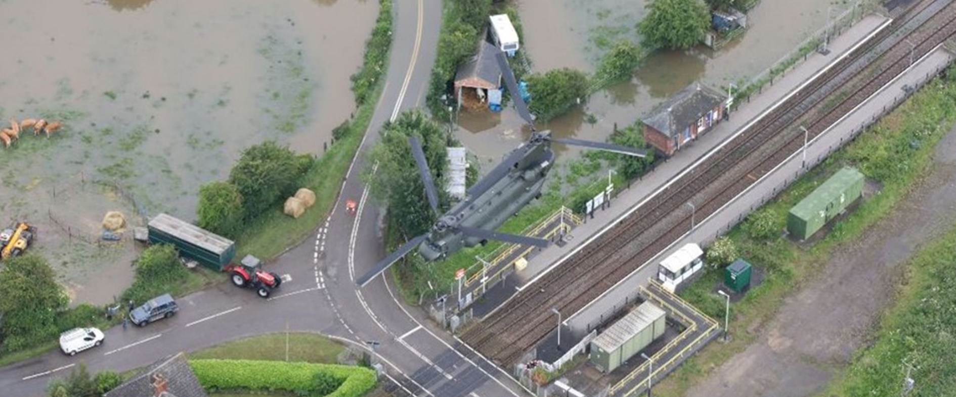
30+ partnership organisations can now not only respond faster during emergencies but also collaborate effectively in proactive disaster planning and recovery initiatives.
Continue Reading