Tag Archives: ArcGIS Pro
Unlocking GeoAI: Smarter Spatial Analysis with ArcGIS
The constant evolution of AI (Artificial Intelligence) encourages many to believe it may accelerate our progress towards a sustainable and resilient future. After delving into the ways AI is supporting geospatial analysis in ArcGIS, I’m inclined to agree. What you … Continue reading

Scottish Fire & Rescue
With an ArcGIS-based risk model, we can be better prepared for emergencies right across Scotland.
Continue ReadingIndoors capabilities in the ArcGIS system
From operations to the management of assets, the ability to map indoor spaces opens a plethora of new opportunities and ways to display and understand your spatial data. The concept of indoor mapping is relatively straightforward and if you want … Continue reading
Continue Reading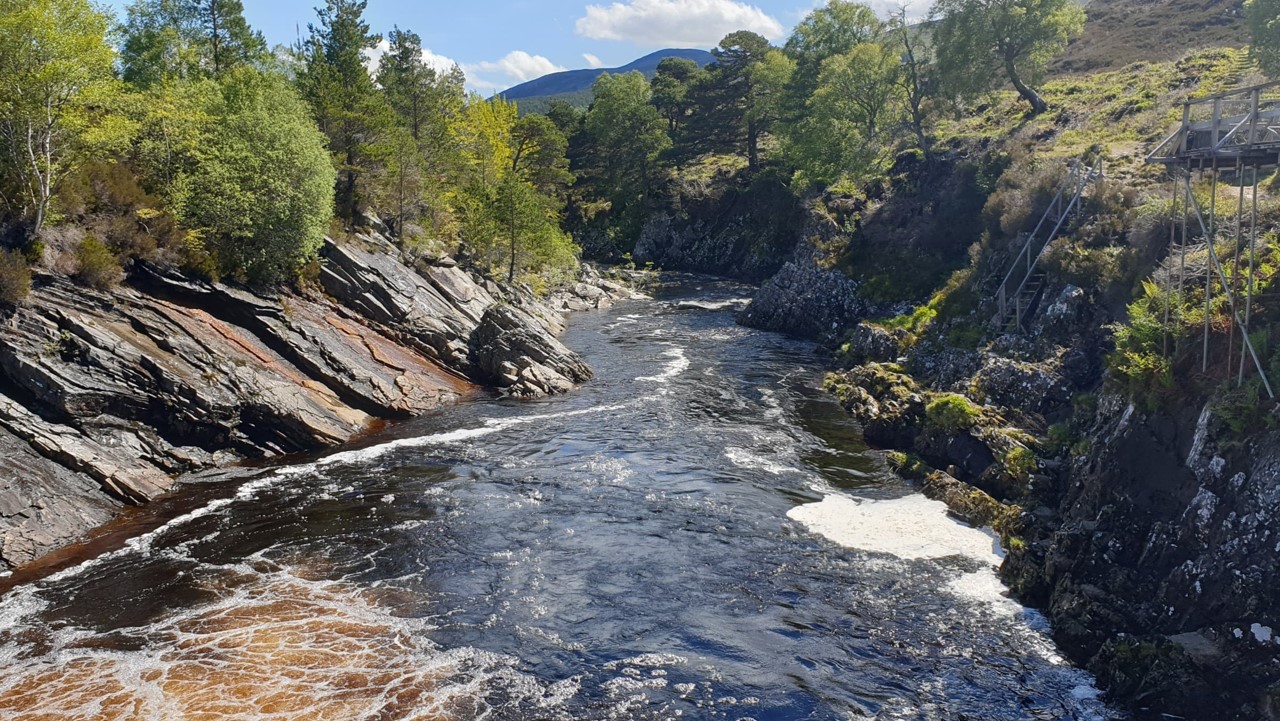
Scottish Fisheries
We are creating data and insights that didn’t exist before to help fisheries organisations work together to improve wild salmon habitats
Continue Reading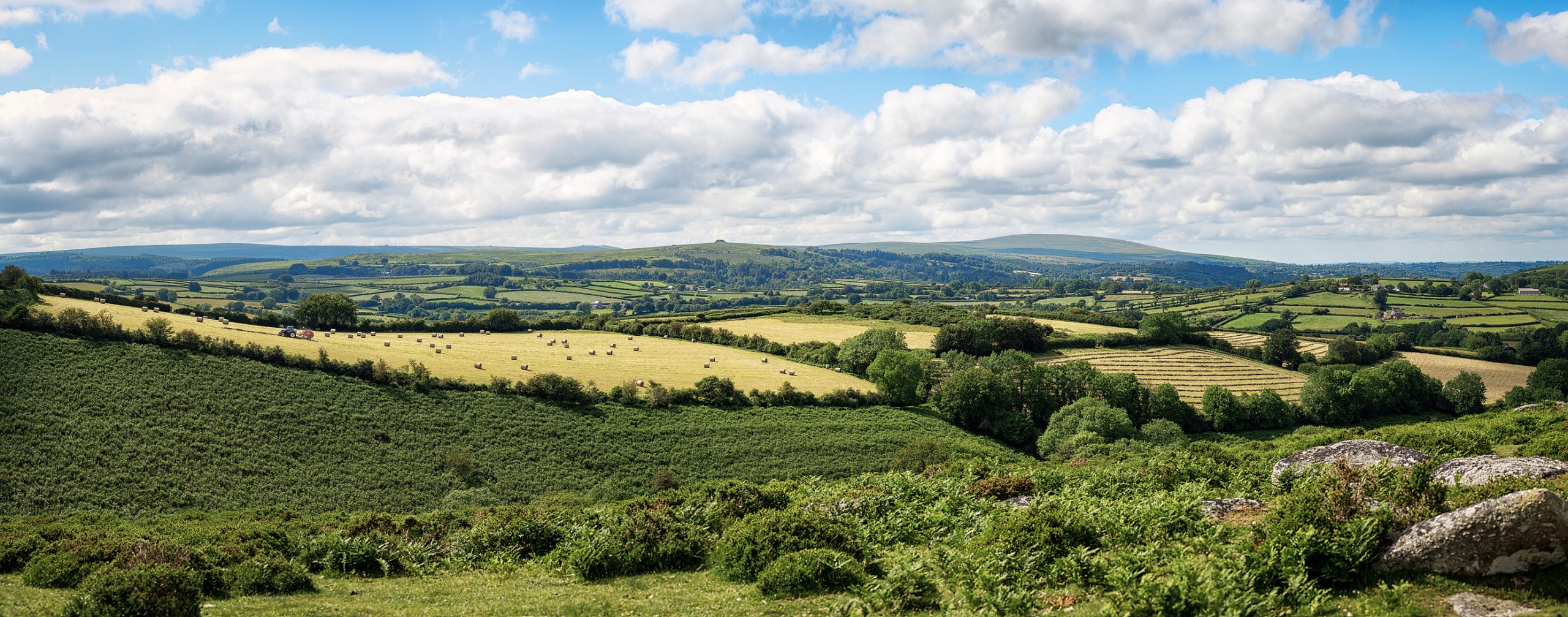
Southern Housing
ArcGIS has always been an essential tool for efficient asset management. Now, we are discovering new ways to use ArcGIS to monitor and report on numerous regulatory KPIs and demonstrate how we are fulfilling our sustainability and biodiversity objectives.
Continue Reading
Greater London Authority
Web mapping services created with ArcGIS Enterprise allow us to make 3,500 datasets from 35 organisations available internally and publicly in a standardised and discoverable format.
Continue ReadingCollaborating between ArcGIS Online and ArcGIS Pro
The ability to share your content, maps, and apps with other users is a key benefit to the ArcGIS system. It’s also critical that users can make use of a variety of ArcGIS apps and software to maximise their use … Continue reading
Continue Reading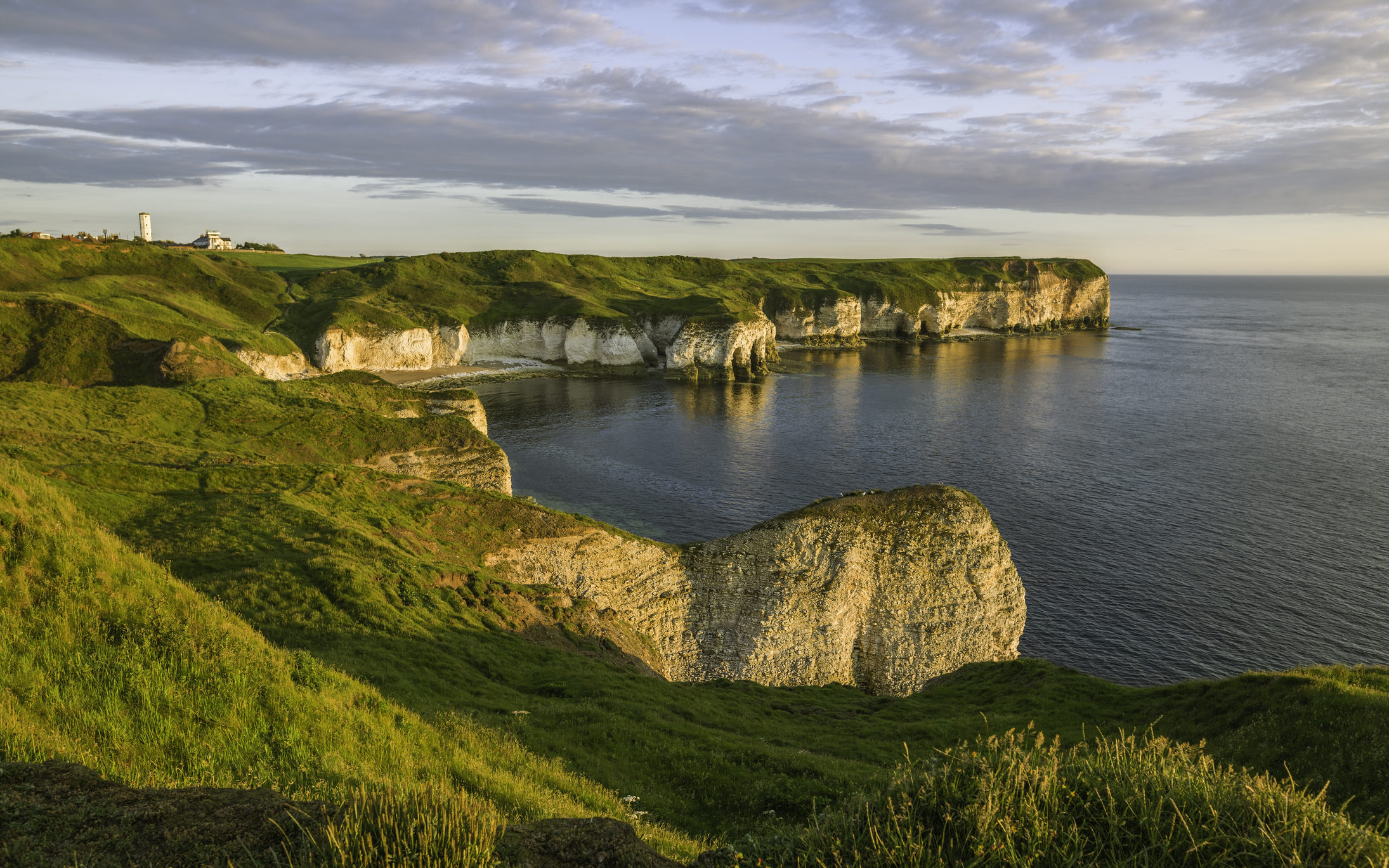
East Riding of Yorkshire Council
With careful planning and support from Esri UK, we successfully migrated 100 users from ArcMap to ArcGIS Pro and reduced our annual GIS costs.
Continue Reading
Cadent
We are successfully detecting, locating and reducing methane emissions with a solution built with ArcGIS Online.
Continue Reading
National Trust
After a decade of ArcGIS use, we can confidently say that GIS is enabling us to achieve our strategic goals, take action for climate change and make special places accessible to everyone, for ever.
Continue Reading