Tag Archives: ArcGIS Pro

Ricardo
Our migration to ArcGIS Pro is helping us to create and share high quality data sets on air quality and greenhouse gas emissions
Continue Reading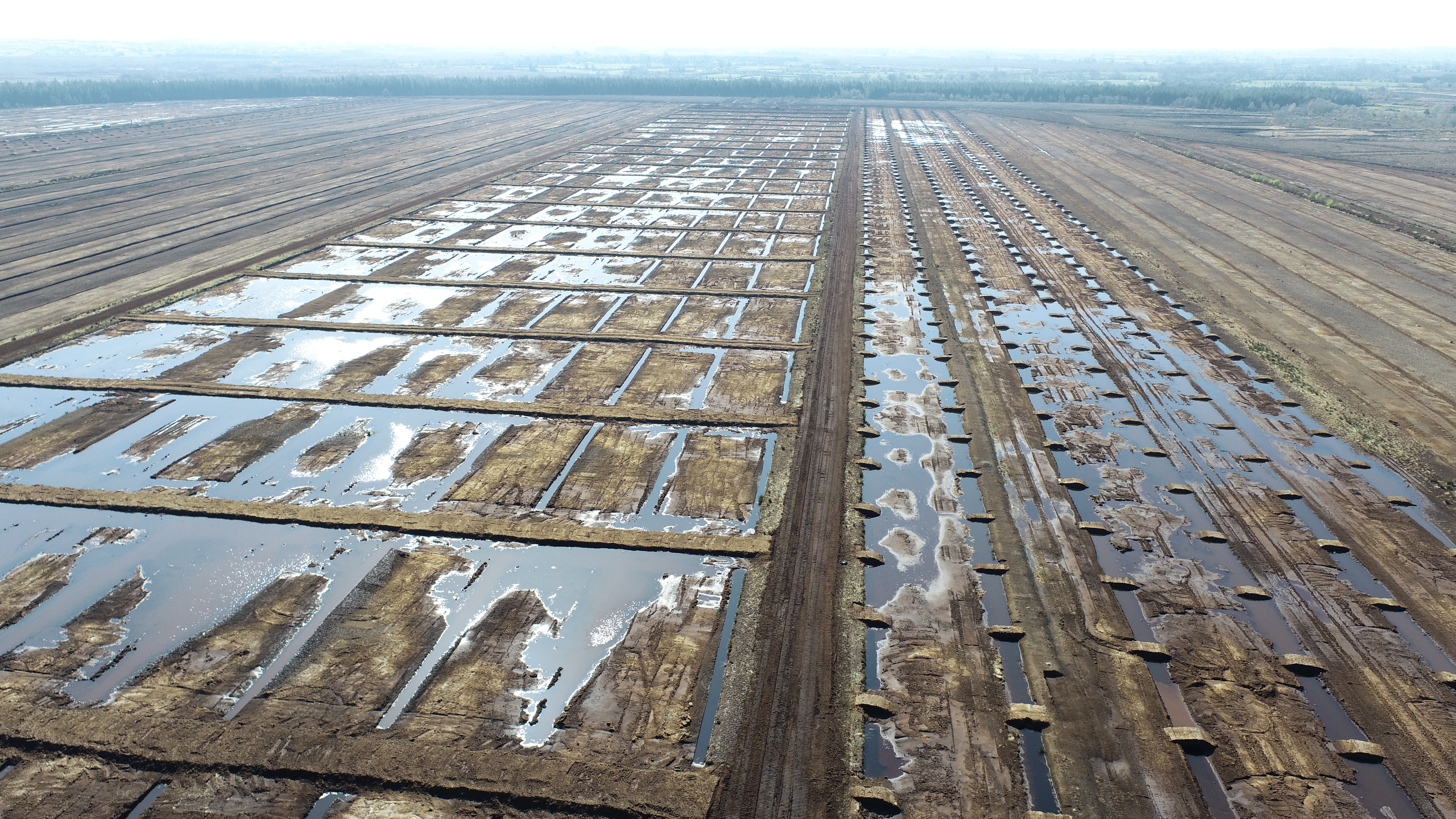
Bord na Móna
We have invested in ArcGIS within the field and on our desktops to inspect contractors' work, track quality control trends and contribute to the success of government energy-saving programmes.
Continue ReadingAn introductory slice of ArcPy in ArcGIS Pro
ArcPy Basics I completed an Esri UK instructor-led ArcPy course a few months ago and have since been trying to keep what I was taught fresh in my mind. So I thought that writing this blog would be helpful and … Continue reading
Continue ReadingDid you know about attribute editing in Scene Layers?
Scene Layers are optimised for displaying large amounts of 3D data, including 3D objects, buildings and integrated meshes. Web Scene Layers use a cache to provide the display performance and give a smooth viewing experience. Scene Layers comply with the … Continue reading
Continue ReadingWhere’s my nearest (and quietest) award-winning beach?
We all have a favourite beach. Whether it’s because of a special memory, spectacular scenery, or golden dunes, we all have a beach that is close to our hearts… Well, I know I do! With many of us holidaying closer … Continue reading
Continue Reading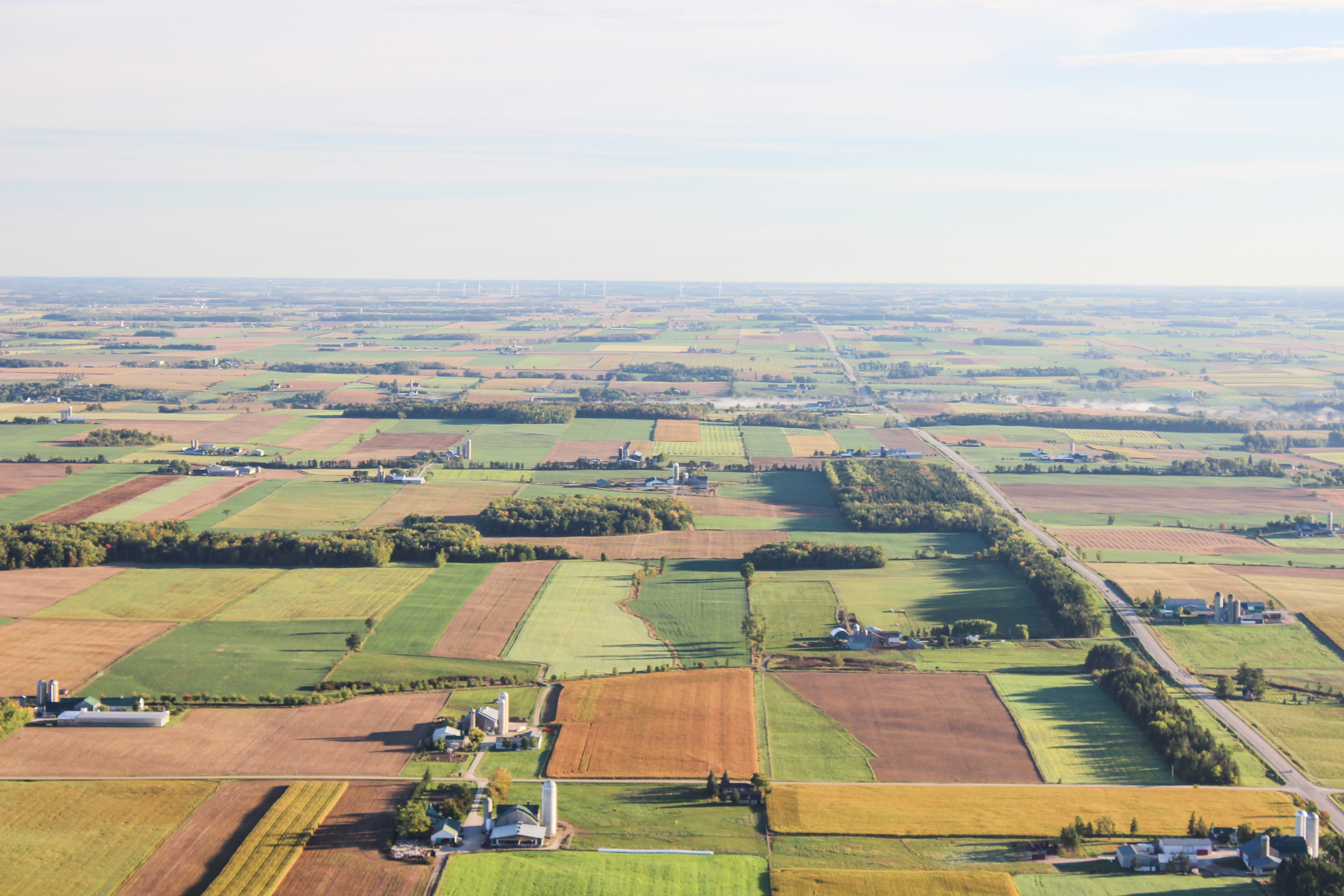
Department of Agriculture, Environment and Rural Affairs
The veterinary process for investigating and managing TB in Northern Ireland is now significantly more efficient, enabling DAERA to provide a high quality service for farmers.
Continue ReadingCreating Vector Tiles
You might have heard about vector tiles recently but not yet used them. Here I will explain what they are, why you should consider using them and how to create them. What are vector tiles? Vector tiles contain vector representations … Continue reading
Continue ReadingEarth Day 2021 – Restore Our Earth
Every year on April 22nd over a billion people across the world come together to observe Earth Day. First established in 1970, Earth Day was created to drive action in combating the ongoing global environmental and climate crisis. The theme … Continue reading
Continue Reading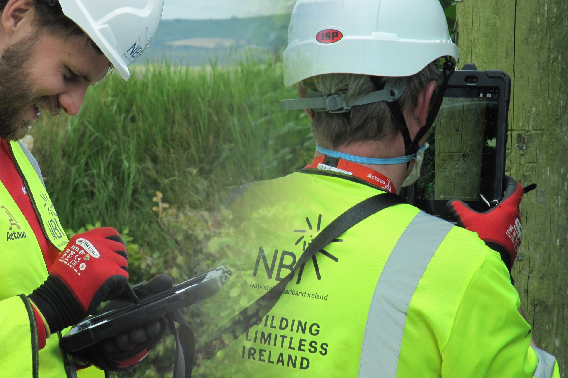
Actavo
ArcGIS is the pivotal technology enabling us to design a high-speed fibre broadband network that will help to deliver connectivity to 1.1 million people in rural Ireland.
Continue ReadingWalk Wheel Cycle Trust
ArcGIS empowers all our employees to work efficiently and deliver vital projects to create healthier places and happier people
Continue Reading