Tag Archives: Data
Sentinel-2 Imagery added to the Living Atlas
Sentinel-2 imagery has been added to the ArcGIS Living Atlas of the World, making it directly available in ArcGIS. Find out how you can make use of this multi-band imagery to monitor conditions and changes across the Earth’s surface.
Continue ReadingHeighten your knowledge with this intro to elevation data
Ever wanted to learn more about elevation and GIS but didn't know where to start? Here's a high level overview of elevation in the ArcGIS platform, with plenty of cool visuals and a Story Map to entice you...
Continue ReadingNew options for using the Living Atlas?
The Living Atlas Browser application has been enhanced to make it easier to browse, filter and contribute data sets.
Continue ReadingI3S gets OGC, OMG!
Esri's I3S 3D data format has just been approved as a Community Standard by the Open Geospatial Consortium (OGC).
Continue ReadingUpdated imagery you say….
We have two exciting announcements about World Imagery services. In the next month, we will be receiving a UK wide update to the Imagery and Imagery with Labels basemaps. This is in addition to the new World Imagery (Clarity) service. Read on to find out what’s changed and for more details on the World Imagery (Clarity) service.
Continue ReadingArcGIS Online gets high resolution elevation data for England and Wales
Last autumn the Lidar data captured by the Environment agency of England and Natural Resources Wales were released as open data, collectively covering 70% of England and Wales. This amazing data resource has now been incorporated into the Esri World Elevation services, by including data from the Lidar derived DTM (bare earth).
Continue Reading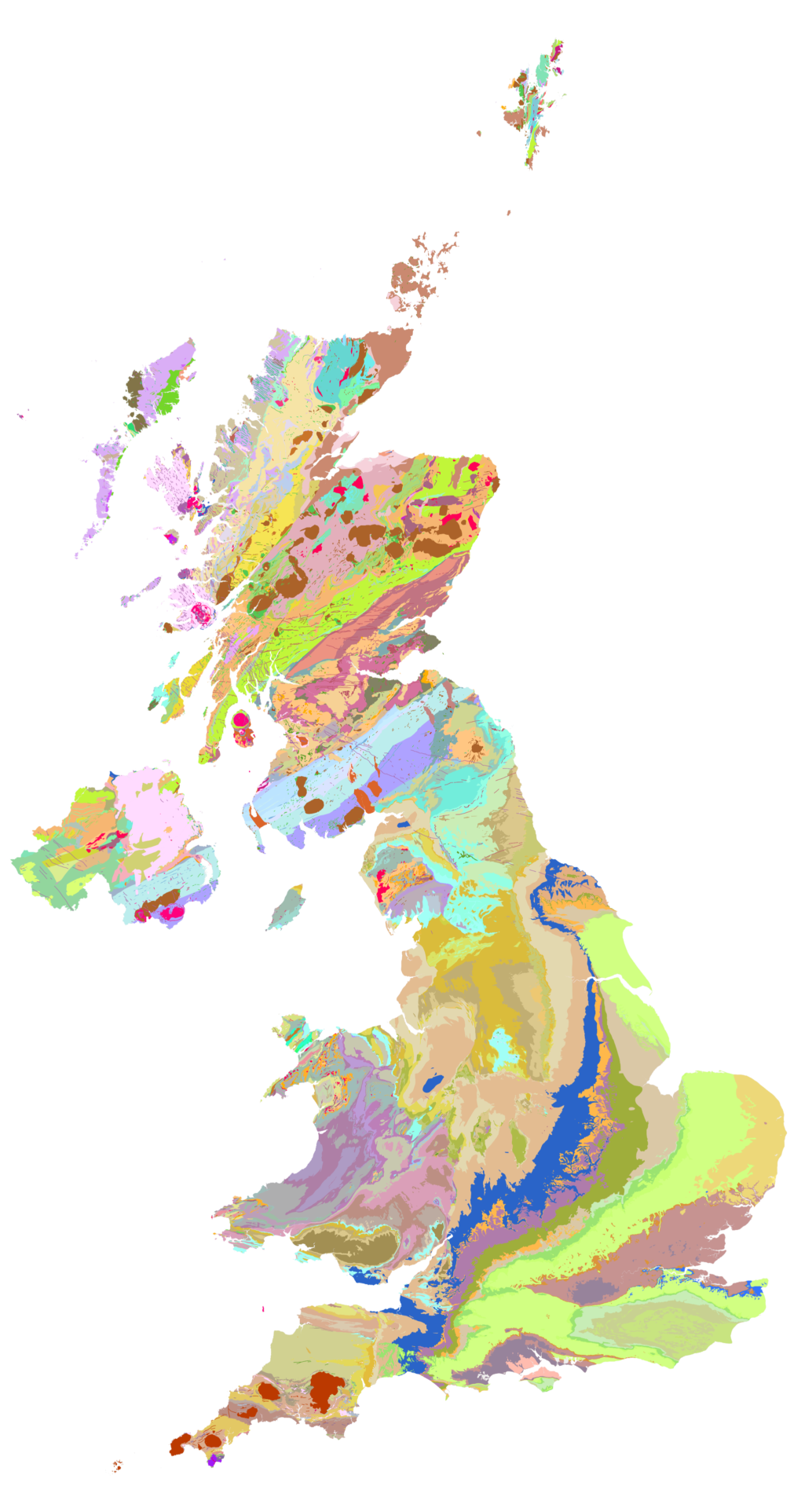
British Geology Survey
The new iGeology mobile app allows smart phone users to discover the geology literally under their feet and is used by around 1,000 people a day
Continue ReadingRemember, remember the November update for ArcGIS Online
We had our Esri UK Scottish Event in Perth this week and Charles Kennelly shared some of what's planned for the next ArcGIS Online update. You can read about all of the planned updates here.
Continue Reading