Tag Archives: Data

LSTC
Migrating from ArcMap to ArcGIS Pro has led to significant improvements in the way that we conduct asset surveys and develop feasibility studies for our clients.
Continue ReadingWelcoming British Geological Survey Data to the Living Atlas
The ArcGIS Living Atlas of the World is a collection of geographic information from around the world and includes content contributions from some of the UK’s most recognisable organisations. This collection of spatial data sits at the heart of the … Continue reading

Land and Property Services
Government, public sector organisations, commercial businesses and citizens can all easily find and use geospatial data and maps for Northern Ireland using a data-sharing platform powered by ArcGIS.
Continue ReadingAre you missing the Living Atlas global datasets that cover the UK?
There are a wealth of datasets within the UK in the Living Atlas, prime for use by the GIS community. However, always filtering by the UK we may miss out on curated global datasets. Familiar global datasets include things like … Continue reading
How is Esri UK supporting the new Public Sector Geospatial Agreement?
The Government announced a new 10 year Public Sector Geospatial Agreement (PSGA) with Ordnance Survey in April 2020. The PSGA is a replacement for the Public Sector Mapping Agreement (PSMA) and One Scotland Mapping Agreement (OSMA), but goes beyond the … Continue reading Continue Reading
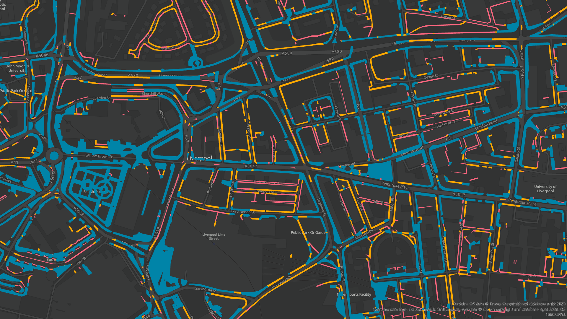
How we made the Pavements Width map
Esri UK have recently published a dataset focusing on pavement widths across GB. This has given the Local Authorities the opportunity to better prepare for social distancing measures over the coming months. It was also featured in recent article in … Continue reading
Continue Reading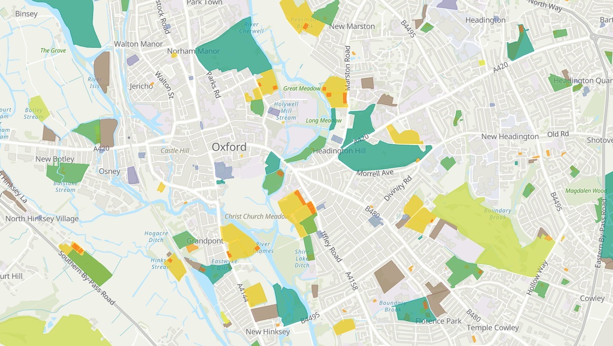
Go Green! – OS Open Greenspace is now in the Living Atlas
Esri UK has been working with the Ordnance Survey to nominate their first dataset into the Living Atlas - OS Open Greespace! Dive into the data and explore a couple of possible use cases…
Continue ReadingInteract with the Earth Systems Monitor
Want to explore a variety of environmental and socio-economic data? With the Earth Systems Monitor app, you can. Come and take a look.
Continue ReadingShining a light on the UK’s best new content in the Living Atlas
Have you been exploring the Living Atlas recently? This blog is here to give you a handy round up of some of this years’ top new UK content !
Continue Reading
Oil and Gas Authority
Using ArcGIS Online we have created a single gateway to all the information that companies might need to help them operate or invest in the UK’s oil and gas industry
Continue Reading