Tag Archives: ArcGIS Enterprise
Configuring Triggers and Actions in ArcGIS Experience Builder
ArcGIS Experience Builder allows you to build dynamic and interactive web applications that can meet any need and be tailored to any audience. You may have read my previous blog which walks through some of the key steps to create … Continue reading
Continue Reading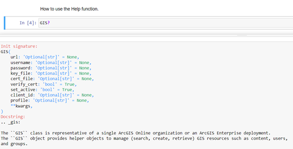
Notes from a Notebooks Beginner
Starting to code can be scary and while there are some learning resources available, they sometimes seem aimed at developers. As a complete beginner, this was a little bit daunting for me. With this blog, I will show you how … Continue reading
Continue Reading
Jurassic Fibre
We have put ArcGIS at the heart of our business to help our teams collaborate effectively and accelerate the rollout of ultrafast broadband.
Continue ReadingFiltering arrives to the Connector for OS places API by Esri UK
At the end of March, we released some exciting updates to the Connector for OS Places API by Esri UK. Since launching our connector, the biggest piece of feedback to both ourselves and the Ordnance Survey has been that you … Continue reading
Continue Reading
Carter Jonas
We now have a highly efficient, standardised digital process for conducting property inspections nationwide that is saving us time and improving our service for clients.
Continue Reading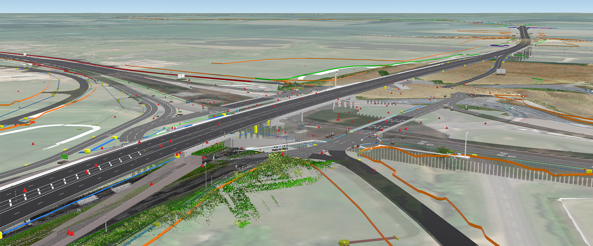
Skanska UK
By integrating GIS and BIM Skanska is transforming the delivery of construction projects delivering unprecedent value internally and externally, for partners, communities and society at large.
Continue Reading
Addressing the benefits of ArcGIS Locators for finding places
Whether you are a locator aficionado or amateur, many of us are all too familiar with the satisfaction that comes from a seamless map-based search; be it by location, address or feature name. From my recent experience working with ArcGIS … Continue reading
Continue Reading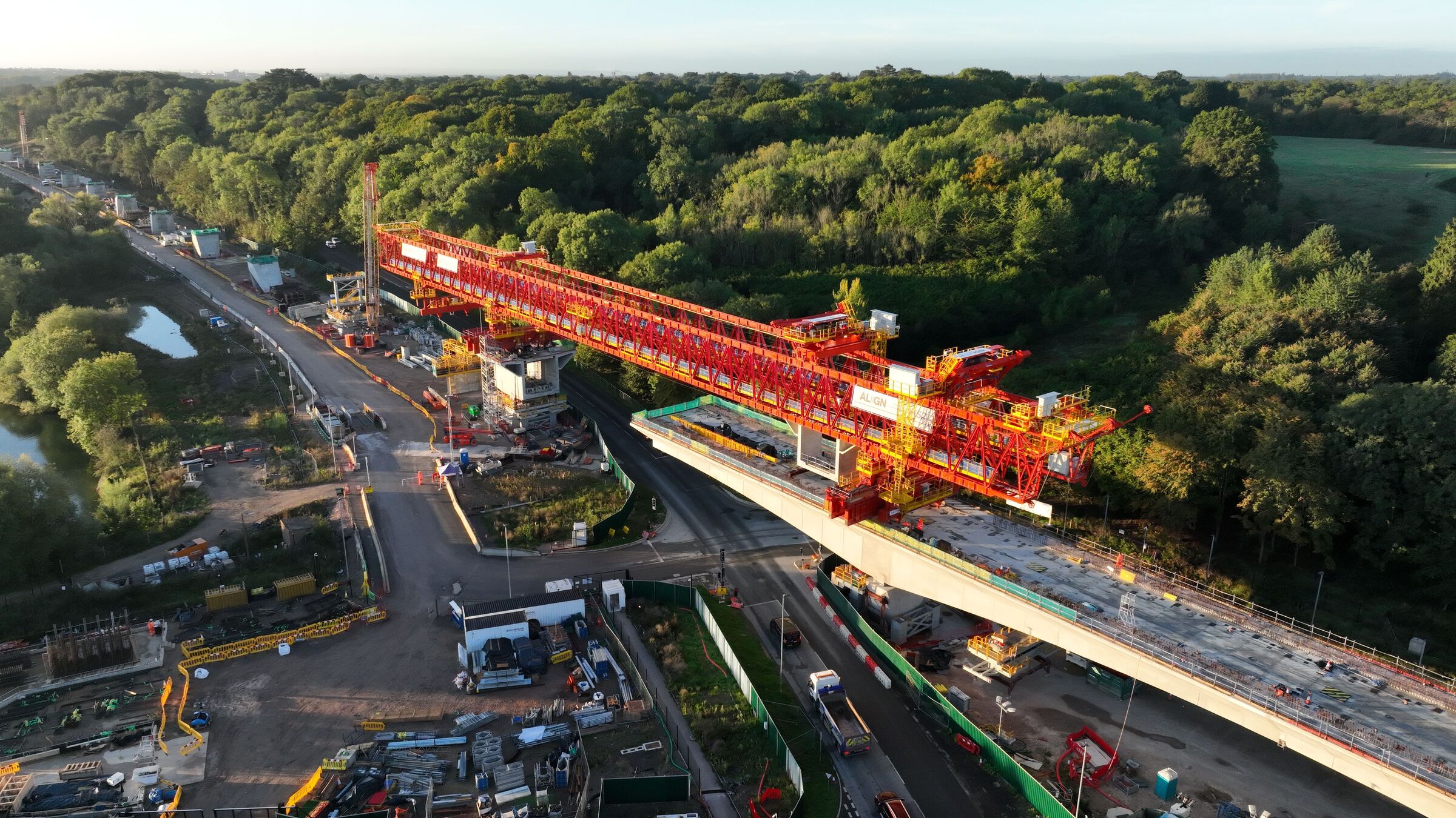
Align JV
Situational awareness is being delivered through GIS and BIM integration transforming project delivery
Continue Reading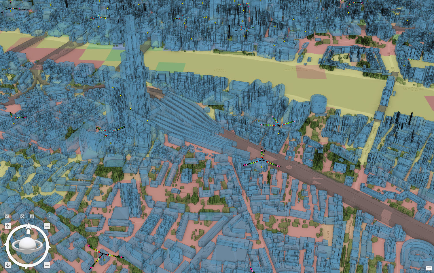
Vodafone
We have created a digital twin using ArcGIS that is helping us to maintain a high quality of service for customers, reduce carbon emissions and operate more efficiently.
Continue Reading
National Highways
Consolidating our geospatial data and creating a single spatial portal with ArcGIS Enterprise has enhanced the value we gain from our geospatial data assets.
Continue Reading